

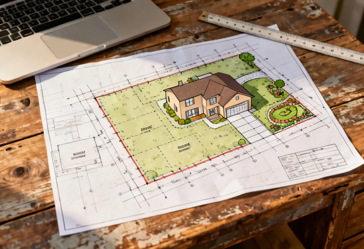
Getting a residential building permit is an important step before starting construction, renovation, an addition, garage, deck, or other property improvement. One of the most important documents in the permit package is the site plan for building permit review. It gives the local building department a clear picture of the property, existing conditions, proposed construction, and how the project fits within applicable regulations.
A properly prepared site plan can make the permitting process easier by presenting critical information in a format that plan reviewers can quickly understand. While exact requirements vary by city, county, and project type, most residential site plans contain several essential details.
Understanding these permit plan requirements before preparing your drawings can help reduce corrections, delays, and unnecessary revisions.
1. Property Lines and Lot Information
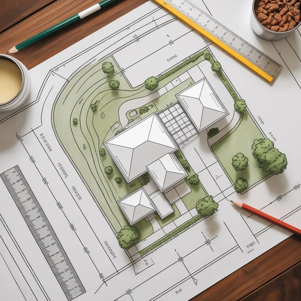
The first thing a residential site plan should establish is the location and size of the property. Property boundaries provide the reference point for almost every other measurement shown on the drawing.
The plan should generally identify the lot lines and include the dimensions of each side of the property. If available, the legal description, lot number, parcel number, or assessor information may also be required by the local jurisdiction.
The drawing should make it easy for a reviewer to understand the relationship between the property and surrounding lots or streets. Depending on local requirements, nearby streets, alleys, easements, rights-of-way, or adjacent properties may also need to be shown.
Accuracy is particularly important because building setbacks, building placement, driveway locations, and other zoning requirements are measured from established property boundaries.
2. Existing and Proposed Structures
A good site plan distinguishes clearly between what already exists and what is being proposed. This allows the building department to understand how the project changes the property.
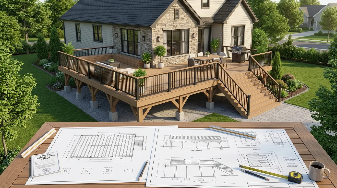
Existing structures may include the main residence, detached garage, shed, pool, patio, deck, driveway, retaining wall, or other permanent improvements. Proposed construction should be identified separately and labeled clearly.
For example, if a homeowner plans to build an addition, the site plan should show the existing house along with the proposed addition. If a detached garage is being constructed, its proposed location and dimensions should be clearly represented.
The plan should also indicate the distance between structures when those measurements affect code or zoning compliance.
Using clear labels such as “Existing Residence,” “Proposed Addition,” or “Existing Garage” helps prevent confusion during plan review.
3. Setbacks and Building Dimensions
Setbacks are among the most important details on a residential site plan. Local zoning regulations may establish minimum front, rear, and side setbacks that determine how close a structure can be placed to property lines.
The site plan for building permit approval should therefore show the relevant setback dimensions. These measurements are normally drawn from the applicable property line to the closest portion of the proposed structure.
Building dimensions should also be included so the reviewer can determine the overall footprint and placement of the project.
For additions or new structures, it is useful to show both the structure's length and width as well as its distances from the required property boundaries.
Keep in mind that setback rules can vary considerably. Corner lots, irregular parcels, flag lots, waterfront properties, and properties located in special zoning districts may have additional requirements.
4. Driveways, Parking, and Site Access
Access to the property is another important part of residential permit documentation. A site plan should generally show existing and proposed driveways, parking areas, sidewalks, and other significant access features when applicable.
If a homeowner is expanding a driveway, creating a new driveway, or changing access to a garage, those improvements should be represented accurately.
Driveway dimensions can be important because some jurisdictions regulate driveway width, location, curb cuts, drainage, and the distance between driveways and intersections.
The plan may also need to show the route from the public street to the proposed structure. This helps reviewers evaluate site access and determine whether the project complies with applicable zoning, transportation, fire-safety, or accessibility requirements.
For properties with unusual access conditions, additional information may be requested by the local authority.
5. Utilities, Drainage, and Important Site Features
Utilities and site conditions can significantly affect a residential construction project. Depending on the jurisdiction and scope of work, the site plan may need to identify utility locations and important site features.
Common items include water lines, sewer connections, septic systems, gas lines, electrical services, utility poles, drainage features, and stormwater structures.
Natural and physical site features may also need to be shown. These can include significant trees, slopes, streams, drainage channels, fences, retaining walls, wells, or other features that could influence construction.
Drainage is particularly important when a project increases impervious surface area. A new addition, driveway, patio, or other improvement can change how rainwater moves across the property.
The local building or planning department may therefore require information about drainage patterns, grading, stormwater management, or runoff depending on the project.
Not every project requires the same level of utility or drainage information, so homeowners should verify the requirements with the authority having jurisdiction.
6. Scale, Dimensions, North Arrow, and Permit Notes
Even when all the necessary features are present, a site plan can be difficult to review if it lacks clear drafting information. A professional plan should use an appropriate scale and provide enough dimensions for the reviewer to understand the property and proposed work.
A north arrow helps establish orientation and makes the drawing easier to interpret. A scale bar or stated drawing scale can help reviewers understand distances shown on the plan.
Dimensions should be consistent and legible. Important measurements may include lot dimensions, building dimensions, setbacks, driveway widths, distances between structures, and other project-specific measurements.
The title block should identify key project information such as the property address, drawing title, date, and applicable project information. Some jurisdictions may also require the owner's name, parcel number, designer information, or other identification.
Permit notes can provide additional information about the proposed work, especially when specific local requirements apply.
Final Thoughts
Preparing a complete site plan for building permit submission is about more than drawing the location of a house on a property. The plan should communicate the property's boundaries, existing conditions, proposed construction, setbacks, access, utilities, drainage, dimensions, and other information required by the local jurisdiction.
Because permit plan requirements differ between cities and counties, there is no single site plan format that works for every residential project. Checking the local building department's requirements before preparing the drawing is one of the best ways to avoid preventable corrections.
For homeowners who are unsure what information to include, professional site plan services can help organize property information into a clear, permit-ready drawing. A well-prepared plan gives reviewers the information they need and helps homeowners move through the permitting process with greater confidence.
Before submitting your project, always compare the finished site plan with the current requirements of your local permitting authority. Small details—such as missing dimensions, unclear setbacks, or incomplete site information—can lead to review comments and delays. Taking the time to prepare an accurate plan at the beginning can make the entire permit process much smoother.



























Sign in to leave a comment.