
Here is an uncomfortable truth about drone mapping: the aircraft matters less than the ground beneath it. A flagship mapping drone flown without ground control will produce an orthomosaic that looks impressive and sits up to three metres from where it should be. For a marketing photo, that is fine. For a boundary check, a volumetric payment certificate or a design overlay, it is disqualifying.
That is why every serious aerial survey begins with a ground control points survey, the disciplined process of anchoring airborne imagery to real-world coordinates. This guide explains what GCPs are, why they decide your accuracy ceiling, and how the workflow runs on a professional UAE survey.
What a Ground Control Point Actually Is
A ground control point is a physical target placed on the site before the flight, whose geographic coordinates have been precisely measured. During processing, photogrammetry software locates each target in the overlapping images and "pulls" the entire model onto those known positions. The result: every measurement in the output traces back to survey-grade ground truth.
The targets themselves matter. High-contrast checkerboards or crosses, typically 30 to 60 cm, are standard, because the software must identify the exact centre within a few pixels. A hastily spray-painted X introduces 10 cm of ambiguity at the exact point where ambiguity hurts most.
Why GCPs Decide Your Accuracy Ceiling
Standard drone GPS carries 1–3 metres of horizontal error and even more vertically. GCPs correct that error at the source. With properly distributed targets measured by RTK GNSS equipment, drone photogrammetry reliably achieves 1–3 cm horizontal and 2–5 cm vertical accuracy, the tolerance range engineering deliverables demand.
Research and field benchmarks consistently show that beyond roughly five to ten well-placed GCPs, adding more yields diminishing returns. What actually moves the needle is distribution: corners plus centre, elevation extremes on undulating terrain, and never a straight line, which leaves whole swathes of the model unconstrained.
GCPs vs Check Points: The Difference That Auditors Care About
A GCP constrains the model during processing. A check point does the opposite. It is withheld from the adjustment, then used afterwards to independently verify accuracy by computing RMSE (root mean square error). Any deliverable that must survive an external review, regulatory submission, dispute, payment certificate, should include check points. It is the difference between claiming accuracy and proving it.
The GCP Survey Workflow, Step by Step
- Design the network. Map target locations before site entry: perimeter corners, one central point, additional points at elevation extremes.
- Place and measure. Set targets on stable, flat ground and survey each centre with an RTK GNSS rover tied to a correction network, achieving 1–3 cm measurement accuracy.
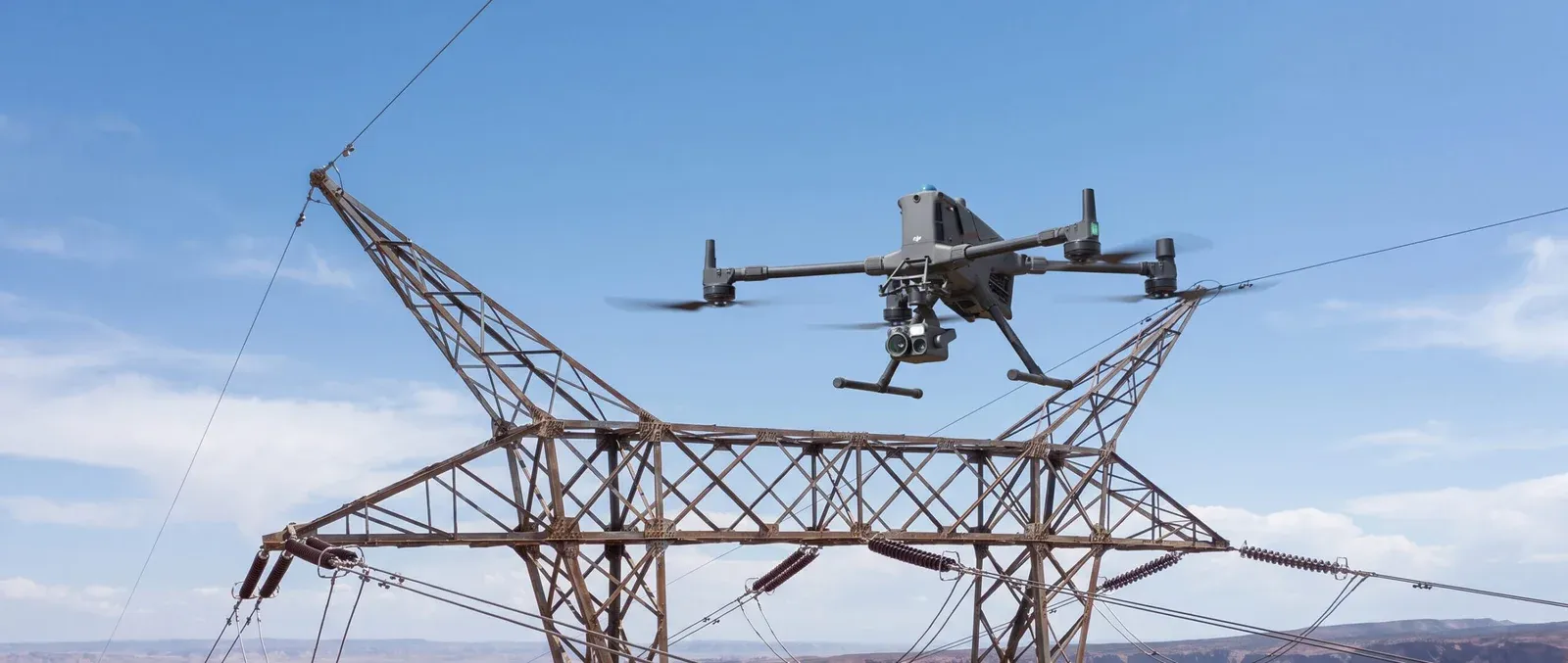
- Capture. Fly the mapping mission with a survey-grade payload at the planned ground sample distance (GSD). Baseera 360 flies the DJI Matrice 400 with the Zenmuse P1, a 45MP photogrammetry camera built exactly for this work.
- Process with control. Feed imagery plus GCP coordinates into the photogrammetry pipeline, tools like DJI Terra and Pix4Dmapper, the same platforms listed on our Technology & Software page.
- Verify. Run the check points, report the RMSE, and only then release the deliverable.
Do RTK Drones Make GCPs Obsolete?
No, and this is one of the most misunderstood questions in the industry. An RTK or PPK drone corrects its own position in flight, typically achieving 2–5 cm absolute accuracy without a single target on the ground. For fast-turnaround mapping, that is often enough.
But RTK is self-certifying: the drone asserts its own accuracy. GCPs, especially check points, provide independent verification that stands up in disputes and audits. Best practice for high-stakes deliverables is the hybrid: an RTK-equipped drone for efficiency, plus a handful of GCPs held back as independent check points. Speed where you can; proof where you must.
What This Means for Your Project in the UAE
Whether you need a topographic survey for a new development, stockpile volumetrics for a payment certificate, or an orthomosaic and digital elevation model that drops straight into your CAD or GIS workflow, the underlying question is identical: can every number in the deliverable be traced to verified ground control?
That is the standard behind Baseera 360's aerial mapping and surveying services, engineer-planned GCP networks, RTK-verified capture, check-point-validated reports, and permits managed across every emirate. For sites where interiors matter as much as terrain, Matterport 3D scanning extends the same reality-capture discipline indoors.
The Bottom Line
A drone without ground control is a camera with opinions. A drone with a professionally executed ground control points survey is a measuring instrument. If your next project depends on numbers that hold up, to engineers, auditors or the other side of a contract, start the conversation with control on the ground. Contact Baseera 360 for a scoped survey proposal.























Sign in to leave a comment.