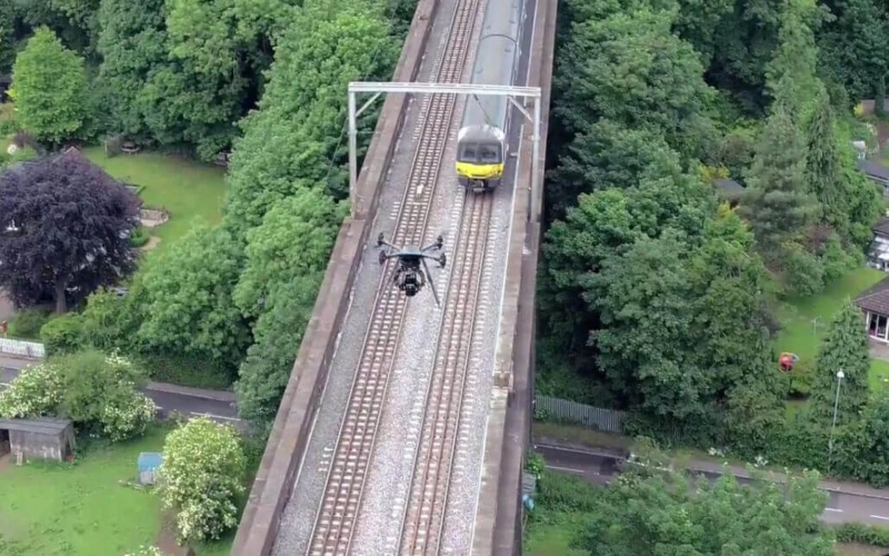
Drone surveys revolutionize agriculture by providing high-resolution aerial imagery and multispectral data. They enable precise crop health assessment, disease detection, irrigation management, and yield prediction. Drone survey in Agriculture optimize farming practices by offering timely insights for targeted interventions, enhancing overall crop productivity and sustainability.
Crop Health Monitoring: Drones equipped with multispectral or thermal cameras capture images that reveal crop health indicators. These images detect issues like water stress, pest infestations, or nutrient deficiencies early on.
Precision Agriculture: Drones generate high-resolution maps of fields, enabling farmers to apply fertilizers, pesticides, or water precisely where needed. This targeted approach optimizes resource usage, reducing waste and improving yields.
Yield Estimation: Through aerial imaging and data analysis, drones help estimate crop yields. This information aids in planning harvest logistics and optimizing sales projections.
Field Planning and Analysis: Land surveying with drones create detailed maps that assist in land surveying, soil analysis, and drainage planning. This data supports informed decision-making for crop rotation, planting patterns, and overall land management.
Livestock Monitoring: Drones can also monitor livestock, ensuring their safety and tracking their movements across large areas. This aids in herding and safeguarding animals in remote or expansive grazing lands.
Environmental Impact Assessment: Drones assist in assessing environmental impact by monitoring soil erosion, water runoff, and vegetation health. This data helps farmers implement sustainable practices.
Time and Cost Efficiency: Compared to traditional methods, drone surveys are faster and more cost-effective. They cover large areas efficiently, reducing the time and labor required for manual inspections.
Weather Analysis: Drones equipped with weather sensors can collect real-time weather data, helping farmers make timely decisions related to irrigation, planting, or harvesting, based on current conditions.
Regulatory Compliance: Drones aid in compliance by providing data on field boundaries and land use, facilitating adherence to regulations on land management and environmental conservation.
Education and Training: Drones are valuable educational tools for farmers, agronomists, and agricultural students. They demonstrate modern farming techniques and encourage the adoption of innovative technologies in agriculture.
Drone surveys in agriculture empower farmers with precise, real-time data that revolutionizes decision-making processes, improves crop yields, and promotes sustainable and efficient farming practices.


