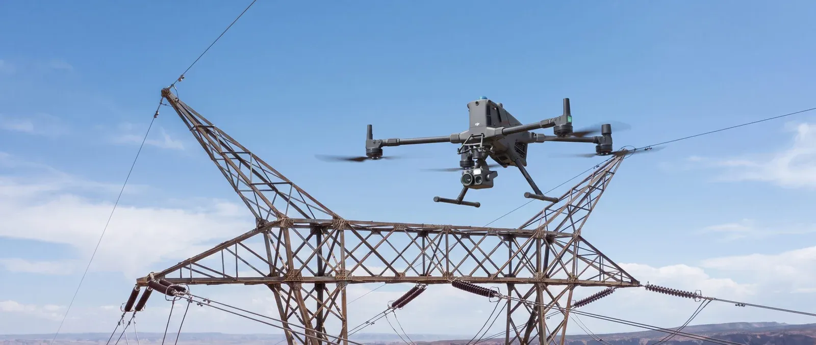

Inspecting oil and gas infrastructure has never been simple. Flare stacks, pipelines, storage tanks, and refinery structures are often tall, remote, or located in areas that carry real safety risks for anyone climbing up to inspect them manually. For decades, the industry has relied on scaffolding, rope access, and confined space entry to get eyes on these assets, methods that work but come with significant cost, downtime, and exposure to hazards. Oil and gas drone inspection is changing that equation by putting a camera where a person used to have to go.
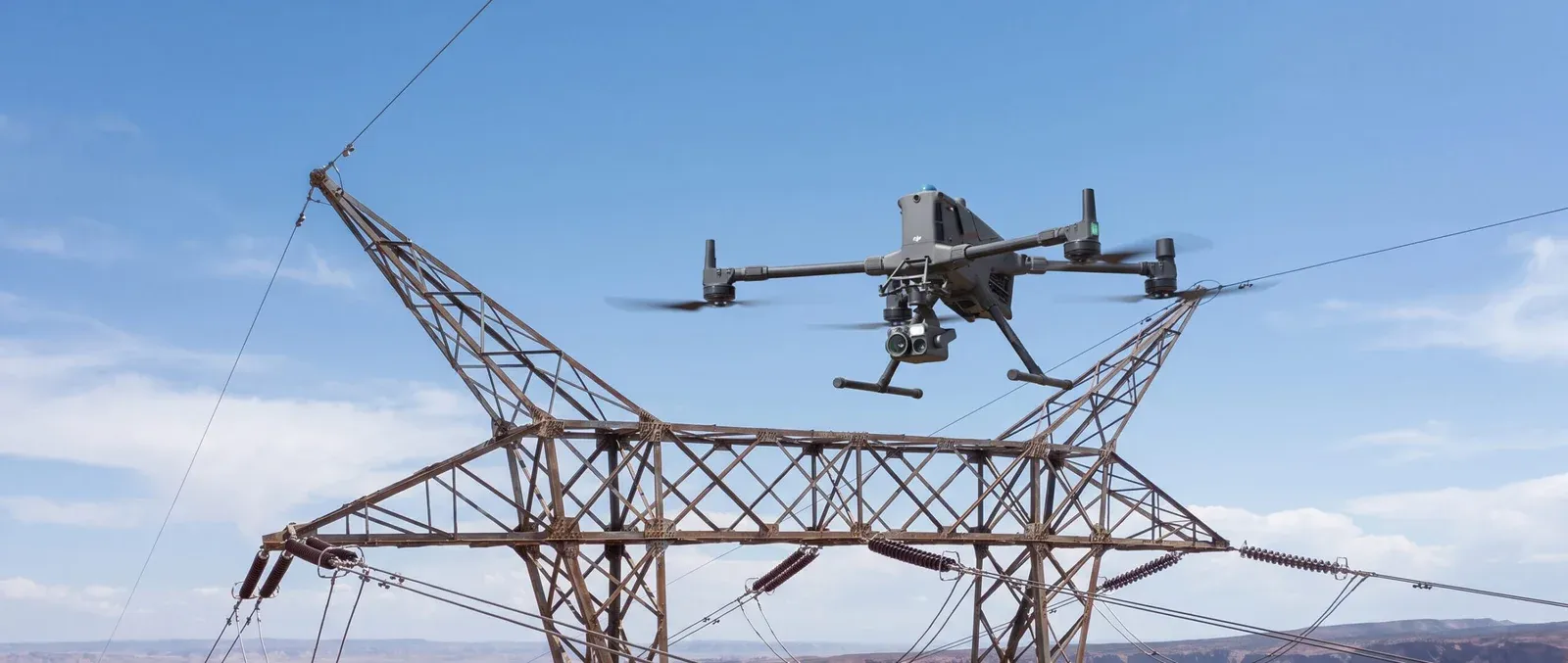
The core idea is straightforward. Instead of shutting down operations and sending a technician up a flare stack or into a confined tank space, a drone equipped with high resolution and thermal cameras flies the same inspection route in a fraction of the time, without putting anyone at height or in a hazardous atmosphere. For facilities managing dozens or hundreds of assets across a site, this shift has a direct impact on both safety statistics and inspection budgets. This is the same principle behind broader infrastructure and asset inspection work across the UAE, applied specifically to the demands of energy sector environments.
Why This Matters More In Oil And Gas Than Almost Any Other Sector

Few industries carry the combination of height, heat, and hazard that oil and gas facilities do. Flare stacks operate at extreme temperatures and often sit dozens of meters in the air. Pipelines stretch across kilometers of terrain, much of it difficult to access by vehicle. Storage tanks require confined space protocols just to get a technician inside for a basic visual check. Every one of these inspection tasks carries real risk, and every one of them can now be handled, at least in part, by a drone equipped with the right sensors.
Beyond safety, there is a strong operational argument. Manual inspections often require a partial or full shutdown of the asset being checked, which means lost production time. A drone can complete an external visual and thermal inspection while equipment remains operational in many cases, dramatically reducing the downtime associated with routine checks. For high value assets, even a few hours of avoided downtime can translate into significant cost savings.
What Drone Inspection Actually Captures
A well executed oil and gas drone inspection combines several data types depending on the asset. High resolution visual imagery catches corrosion, coating degradation, structural cracks, and physical damage. Thermal imaging identifies hot spots on flare stacks, insulation failures on pipelines, and abnormal heat signatures that can indicate developing mechanical issues before they become failures.

Some inspections also incorporate detailed mapping data, which is where techniques from aerial mapping and surveying cross over into industrial applications, giving facility managers accurate spatial data on tank farms, pipeline routes, and site layouts.
All of this data gets compiled into a structured report that engineers can actually use, with images tagged to specific locations on the asset and thermal anomalies flagged for follow up. This turns what used to be a subjective climb and look inspection into a documented, repeatable process that can be compared against previous inspections to track how an asset is aging over time.
Common Applications Across The Sector
Flare stack inspection is one of the most requested applications, since climbing a live flare stack is inherently dangerous and often requires a full shutdown just to make the climb safe. Pipeline inspection benefits from drones covering long distances quickly, spotting exposed sections, vegetation encroachment, or signs of leaks that would take far longer to identify on foot. Storage tank inspection, particularly external shell and roof checks, replaces much of the scaffolding and rope access work traditionally needed just to get a visual on tank condition.
Refinery structures, cooling towers, and elevated piping racks round out the list of common inspection targets. In each case, the goal is the same, get accurate visual and thermal data without putting a person into a hazardous position or halting operations any longer than absolutely necessary.
Working With The Right Drone Inspection Partner
Not every drone operator is equipped to work in oil and gas environments. Facilities in this sector often require specific certifications, familiarity with hazardous area classifications, and drones capable of carrying industrial grade thermal and visual sensors. Experience matters too, since interpreting thermal data on a flare stack requires a different level of expertise than a standard rooftop inspection.

When evaluating a provider, ask about their experience with energy sector clients specifically, their process for handling data security given the sensitivity of industrial sites, and their ability to integrate findings into existing asset management systems rather than delivering a standalone report that sits disconnected from ongoing maintenance planning.
The Path Forward
Oil and gas drone inspection is no longer an experimental technology on the fringes of industrial maintenance. It has become a practical, proven method for reducing risk, cutting downtime, and improving the quality of data available to engineers managing critical infrastructure. As facilities across the UAE continue to look for ways to improve safety records while controlling costs, drone based inspection sits at the intersection of both goals.
For operators looking to modernize their inspection program, partnering with an experienced drone survey and inspection company in Dubai means getting a team that understands both the technical demands of aerial data collection and the operational realities of working around live industrial assets.






















Sign in to leave a comment.