Skip to content
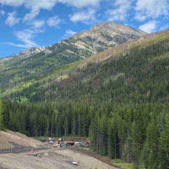
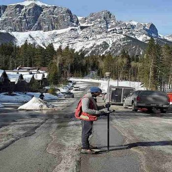
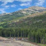
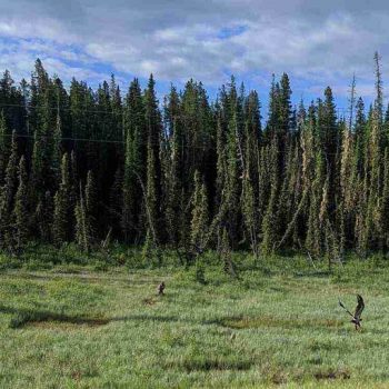
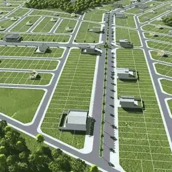
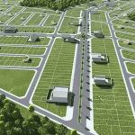
A wide gamut of technologies are commonly used in geomatics land surveying. In fact, Geomatics as a science includes various fields such as mapping, remote sensing, surveying, LiDAR or HDS scanning, GPS, GIS, hydrography, photogrammetry, etc. Professional land surveyors routinely use satellites, sonar, 3D scanning, and drone technology and many software for carrying out the […]