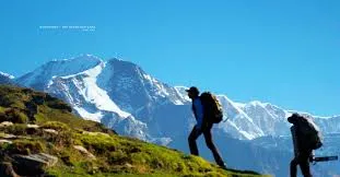

Roopkund trek route begins at Lohajung in Uttarakhand’s Chamoli district and climbs through forest, two huge alpine meadows, and a barren, rocky ridge to a small glacial lake at roughly 4,800 meters (about 15,700 feet). The total distance is commonly quoted as 50 to 53 km round trip, and most itineraries take 6 to 9 days including travel. This guide walks through the route stage by stage, with distances and altitudes, so you know what each day involves before you book.
Roopkund Trek Route at a Glance
| Detail | Information |
|---|---|
| Starting point | Lohajung (~2,300 m / 7,700 ft) |
| Roopkund Lake altitude | ~4,785-4,800 m (~15,700 ft); some sources quote higher for the ridge above |
| Total distance | ~50-53 km round trip |
| Trek duration | 6-9 days including travel |
| Difficulty | Moderate to difficult |
| Key camps | Didina, Ali Bugyal, Bedni Bugyal, Patar Nachauni, Bhagwabasa |
| Best seasons | May to June, September to October |
Altitudes and distances vary between operators and sources, so treat these as planning figures.
Two Ways to Start: Wan or Didina
There are two common approaches, and which one you take changes your first couple of days.
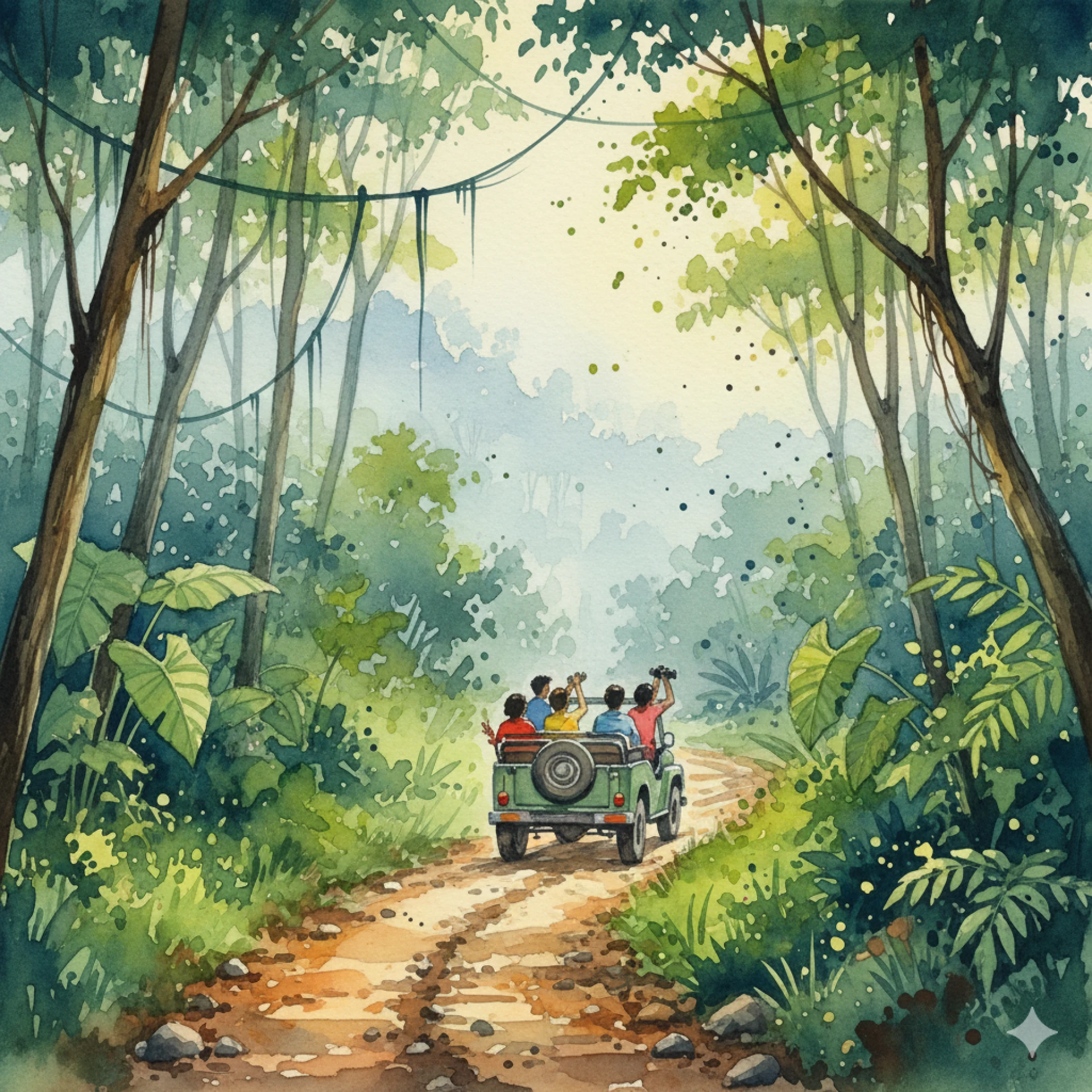
Route 1: Via Wan. This is the older, shorter, and steeper approach. Wan is connected to Lohajung by a motorable road, and a jeep ride takes about 45 minutes, so some trekkers start from Wan directly. The climb from Wan toward Bedni Bugyal is a steep forest ascent.
Route 2: Via Didina and Ali Bugyal. This is the more popular and more gradual approach. You trek from Lohajung to Didina, then climb through forest to the vast Ali Bugyal meadow before continuing to Bedni Bugyal. It’s slightly longer but easier on the legs and better for acclimatization.
Most commercial itineraries go up via Didina and Ali Bugyal and come down via Bedni Bugyal and Wan.
Day-by-Day Route Breakdown
Day 1: Arrive at Lohajung
The trek begins with a long drive, usually from Kathgodam, Haldwani, or Rishikesh. Lohajung sits at about 2,300 m, and the day is for rest, briefing, and gear checks.
Day 2: Lohajung to Didina (~6-10 km, 4-5 hours)
The trail climbs gently toward a pass above Lohajung, then drops to the Bedni river valley and the village of Didina at about 2,450 to 2,500 m. Reported distances differ by source, with some counting the road section and others only the footpath.
Day 3: Didina to Ali Bugyal and Bedni Bugyal (~10-11 km)
This is a big day. The trail climbs steeply through dense forest to Ali Bugyal, one of the largest high-altitude meadows in the region at roughly 3,400 to 3,500 m, then continues across the grassland to Bedni Bugyal at about 3,350 to 3,600 m. Trishul and Nanda Ghunti rise in the distance. Some itineraries split this over two days, camping at Ali Bugyal first.
Day 4: Bedni Bugyal to Patar Nachauni (~4-6 km)
The distance is short, but the climb leaves the meadow and gains altitude quickly. The trail passes Kalu Vinayak and Ghora Lotani before reaching Patar Nachauni at about 3,870 to 3,890 m, a rocky ridge campsite. Some operators combine this stage with Bhagwabasa or use Ghora Lotani as an alternate camp.
Day 5: Patar Nachauni to Bhagwabasa (~4 km)
Another short but steep day. Bhagwabasa, at about 4,300 to 4,330 m, is the highest campsite and the base for the summit push. The terrain is bare, rocky, and often snow-covered, and this is where altitude effects begin to show.
Day 6: Bhagwabasa to Roopkund and Back (~16 km round trip)
Summit day. Trekkers leave in the early hours and climb about 5 km to Roopkund Lake, a steep, loose, often snowy ascent. After time at the lake, you descend, either to Patar Nachauni or all the way back to Bedni Bugyal, depending on the itinerary. Expect 10 to 12 hours in total.
Day 7: Return Toward Wan and Lohajung (~14 km)
The descent follows Bedni Bugyal, then drops steeply through forest to Wan, where a vehicle takes you back to Lohajung. It’s a long day on the knees, so trekking poles help.
Day 8: Drive Back
The final day is the drive from Lohajung to Kathgodam, Haldwani, or Rishikesh.
Altitude Profile
Gaining altitude gradually is central to this route. Here’s the typical progression:
| Camp | Approx. altitude |
|---|---|
| Lohajung | 2,300 m |
| Didina | 2,450-2,500 m |
| Ali Bugyal | 3,400-3,520 m |
| Bedni Bugyal | 3,350-3,600 m |
| Patar Nachauni | 3,870-3,890 m |
| Bhagwabasa | 4,300-4,330 m |
| Roopkund Lake | ~4,785-4,800 m |
The biggest jumps come between Didina and Ali Bugyal, and again between Bedni Bugyal and Bhagwabasa. Many itineraries add an acclimatization day at Bedni Bugyal, which is worth considering even if it extends the trip.
What Makes the Route Challenging
- Steep stages with short distances. Days 4 and 5 look easy on paper but are some of the steepest on the route.
- Altitude. The final climb takes you above 4,700 m, where headaches, nausea, and fatigue are common.
- Snow and loose rock. The last ascent to Roopkund can be icy, particularly in early season and after fresh snowfall.
- Weather. Afternoon cloud and rain can arrive quickly, making early starts essential.
- Long summit day. The return to camp after reaching the lake can take longer than the ascent.
Best Time to Walk the Route
- May to June: Snow begins to melt, trails open up, and lingering snow patches near the lake are common.
- September to October: Clear skies and stable weather make this the favorite window for many trekkers.
- July to August: Monsoon brings slippery trails and landslide risk on approach roads, and most operators pause departures.
- November onward: Heavy snow and extreme cold make the route unsuitable for most trekkers.
Is the Roopkund Trek Open in 2026?
The trek was effectively closed for years after a 2018 camping ban on Uttarakhand’s high-altitude meadows. Earlier reports indicated that the Supreme Court set aside that ban on July 20, 2026, with operators reopening registration afterward. Rules around permits and camping can still change, so confirm the current status and arrangements with your operator before booking.
Permits and Preparation
- Forest permits and camping fees apply along the route.
- You’ll typically need identification and a medical fitness certificate.
- Going with a registered operator and an experienced guide is strongly recommended.
- Start building stamina several weeks ahead, with regular long walks and uphill practice.
What to Pack
- Waterproof trekking shoes with strong ankle support
- Warm layers, including a down jacket and thermal base layers
- A sleeping bag rated for sub-zero temperatures
- Trekking poles for the steep, loose sections
- Gloves, a warm hat, and a rain jacket
- Sunscreen, sunglasses, and a cap for exposed high-altitude stretches
- A basic first aid kit and any altitude medication prescribed by your doctor
- A headlamp with spare batteries
- A reusable water bottle and energy snacks
Frequently Asked Questions
How long is the Roopkund trek route?
About 50 to 53 km round trip, usually completed over 6 to 9 days including travel.
Where does the Roopkund trek start?
At Lohajung in Chamoli district, with the trail usually continuing via Didina or Wan.
What is the highest point on the route?
Roopkund Lake at roughly 4,785 to 4,800 meters (about 15,700 feet), though some sources quote slightly different figures.
Which route is better, via Wan or via Didina?
Most operators prefer the Didina and Ali Bugyal route because it’s more gradual, which helps with acclimatization. The Wan route is shorter but steeper.
Is the Roopkund route difficult?
It’s rated moderate to difficult, mainly because of the altitude, steep sections, and the long summit day.
How long does summit day take?
Usually 10 to 12 hours round trip from Bhagwabasa, depending on weather and conditions.
Final Thoughts
The Roopkund trek route rewards patience and good pacing. The early days through Didina, Ali Bugyal, and Bedni Bugyal are some of the most beautiful walking in the Himalayas, while the final stretch to Bhagwabasa and the lake is a true high-altitude challenge. Build in acclimatization time, choose a reliable operator, and travel in the right season, and you’ll be well placed to reach one of India’s most famous trekking destinations.
















Sign in to leave a comment.