Maps are essential for geographers in representing and explaining spatial information, patterns, and processes. As a result, reading and interpreting maps are essential in geographical education. Students must master several interconnected skills to read maps effectively.
What is the significance of maps?
Cartography or mapmaking has been a significant part of human history for a long time, possibly dating back 8,000 years. People used to create and use maps as an essential tool to help them define, explain, and navigate their way through the world back then. Even though we learned map reading in high school, here are some essential map reading details that have been very useful in recent years.
What is the purpose of Maps?
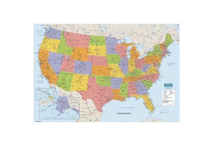
Maps are the most valuable tools that researchers, cartographers, tourists, students, and others can use to examine the entire globe or a specific region. Maps are simply images of the earth's surface. They can be used as a general reference to show landforms, political boundaries, bodies of water, and city locations.
What are the applications of maps?
A map entails the detailed representation of a large area. It serves as a guide to places we have never been before. They provide the distance in two locations: mountains, rivers, railway stations, airports, and the shapes of places or destinations.
Why do I need a map when GPS is available? Are maps still useful nowadays?
Have you ever wondered how people go on vacation and then get lost? It's because they're going somewhere they've never been before. People frequently believe that having tools like GPS will guide them to their destinations. Many people are not aware of using this technology to their advantage. A map works by breaking down the goal into simple steps. Assume you're in a new city and need to visit a specific store. A map will guide your way by entailing you through small details.
The significance of map interpretation
Maps enable us to express the relationships between the locations we are attempting to explore. As a result, it is critical to understand the scope of the maps we use, and that's why we must interpret our maps' context, content, and meaning. It all boils down to determining who created this map, why it was created, and how to use it. People who understand the history of maps and how to read them will be able to make better decisions.
Maps can show us a wealth of information that exists on Earth. We used paper maps and printed guides to help us navigate the world twenty years ago.
In today's world, every organization must have an online presence if its existence is to be known to the rest of the world. Satellite imagery, GPS devices, location data, and Google Maps are among the most advanced digital mapping technologies available today. And where do people go when they're looking for something? It's Google, and when we're looking for a particular place, Google Maps comes in handy. They present every minute detail to determine a location.
What role do maps play in geography?
A good map can help you understand the distance and direction between points on the map. The process of identifying a specific area on a map by referring to specific points marked on it is known as map reading. People can read maps accurately if they know the map and its location.
A map is an essential component of geographical analysis. A topographical map helps depict the shape of the land, its forms, and sizes, as well as the names of cities, rivers, and mountains. Maps are helpful for various purposes, including construction planning, rescue operations, national security, aeronautics, etc.
A map is a valuable way of providing information about places, locations, and areas, which is instrumental in this regard. Topographical surveyors use maps as record sheets, indicating elevations, contours, rivers, lakes, and points of interest.
Benefits of Cartography: Why Is Map Reading a Valuable Skill to Have?
It aids in navigation planning as well as national security. Knowing the location of places by drawing a map with their names can help us find our location and other places nearby. Maps are helpful for research, planning, and security to help travelers arrive at their destinations safely. Maps aid in improving communication skills, allowing transportation and trade to be carried out more efficiently and lowering travel and production costs. Maps assist us in determining our strengths and weaknesses to improve them in the future. Maps are also suitable for entertainment and fun, contributing to developing a new culture in the art world.Key Takeaways
Maps play an essential part in our lives for our day-to-day activities. They help us get from one place to another, and they also help us learn about new places. Maps can show us things we wouldn’t be able to see if we just looked at a picture. Nowadays, maps are updated frequently to stay helpful for a long time. You can pick the correct map for your needs and if you need more information.
If you’re looking for the importance of maps, House of Doolittle has got you covered! Check out all of our websites for a better understanding.


Sign in to leave a comment.