Before any construction, subdivision, or fencing project begins, one critical question must be answered: Where exactly are the legal property boundaries? While many property owners assume fences or existing markers indicate the correct limits of their land, this is not always the case. Over time, boundaries can become unclear due to missing survey pegs, outdated measurements, or historical discrepancies. This is where Greater Melbourne Surveyors a Title Re-Establishment Survey becomes essential.
A Title Re-Establishment Survey ensures that legal property boundaries are accurately identified and marked in accordance with official land title records. It is a vital step in protecting property rights, ensuring compliance, and preventing costly disputes before development begins.
What Is a Title Re-Establishment Survey?
A Title Re-Establishment Survey is conducted by a licensed land surveyor to redefine and physically mark the legal boundaries of a property. Surveyors analyze original title documents, historical survey data, and government records to determine the precise position of boundary lines.
Unlike a simple site measurement, this type of survey involves detailed legal interpretation. The surveyor must:
- Examine original subdivision plans
- Review past survey records
- Locate survey marks and reference points
- Compare historical data with current measurements
- Reinstate boundary pegs accurately
The final result is a legally defensible confirmation of property boundaries.
Why Title Re-Establishment Is Important Before Development
Development projects—whether residential, commercial, or industrial—depend heavily on boundary accuracy. Even a small encroachment beyond legal limits can lead to serious consequences.
Here’s why this survey is critical:
1. Preventing Boundary Disputes
Property disputes between neighbors often arise due to misplaced fences or incorrect assumptions about boundaries. A Title Re-Establishment Survey provides legal clarity, reducing the risk of conflicts.
2. Avoiding Costly Construction Errors
Building over a boundary line can result in stop-work orders, demolition requirements, or legal action. Verifying boundaries before construction protects your investment.
3. Ensuring Planning Compliance
Local councils require developments to comply with approved site plans. Accurate boundary identification ensures structures are positioned correctly.
4. Supporting Subdivision Projects
When subdividing land, precise boundary definition is mandatory to create new titles and avoid future disputes.
Common Situations That Require a Title Re-Establishment Survey
Many property owners only realize they need a boundary survey when problems arise. However, proactive surveying can prevent issues altogether. Common scenarios include:
- Building a new home
- Constructing an extension or garage
- Replacing boundary fences
- Subdividing land
- Purchasing vacant land
- Resolving neighbor disputes
In established suburbs, especially where properties were surveyed decades ago, boundary markers may have shifted or disappeared entirely.
The Legal Significance of Boundary Accuracy
Property boundaries are defined by registered land titles, not by physical fences or visual assumptions. Over time, fences may be moved, trees may grow over boundary lines, and structures may inadvertently cross legal limits.
A licensed surveyor uses official records lodged with government authorities to ensure that the boundary reinstatement aligns with registered titles. This legal precision protects property owners from:
- Encroachment claims
- Compensation disputes
- Delays in property transactions
- Council compliance issues
In many regions, only licensed land surveyors are legally permitted to certify boundary re-establishment surveys, ensuring accountability and professional standards.
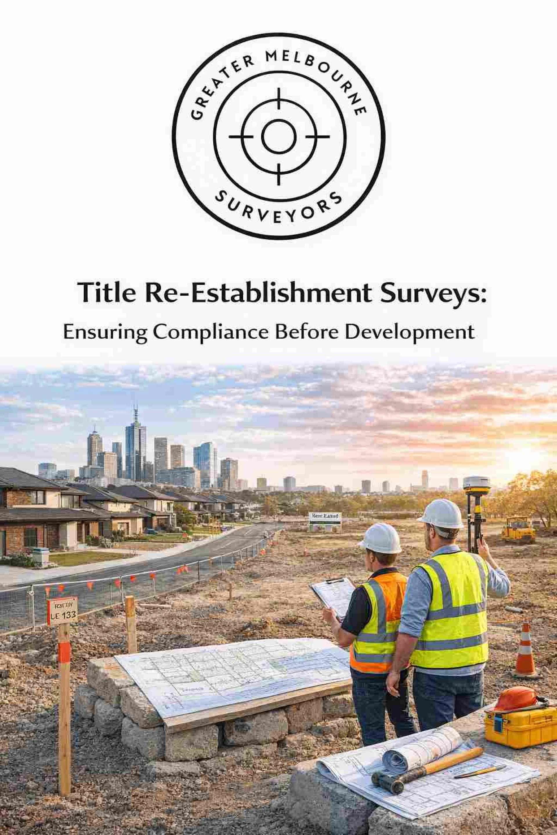
The Survey Process Explained
A Title Re-Establishment Survey typically involves several key steps:
1. Research and Investigation
The surveyor collects and analyzes historical title documents, original subdivision plans, and survey records.
2. Field Measurements
Using advanced equipment such as total stations and GPS systems, the surveyor measures the site and locates existing survey marks.
3. Data Analysis
Measurements are compared with historical records to determine accurate boundary positions.
4. Peg Placement
Once confirmed, new survey pegs are placed to clearly mark the legal boundaries.
5. Documentation
A detailed report or plan is prepared for the property owner, which may also be submitted to relevant authorities if required.
This process ensures that boundaries are reinstated with precision and legal reliability.
The Role of Technology in Modern Surveys
Modern surveying technology has significantly improved boundary accuracy. Tools such as:
- GNSS/GPS systems
- Total stations
- Digital mapping software
- Geographic Information Systems (GIS)
enable surveyors to achieve high levels of precision while maintaining compliance with regulatory standards.
However, technology alone is not enough. Interpreting historical survey data requires professional judgment and expertise.
Financial and Legal Benefits
While some property owners hesitate due to cost concerns, the financial benefits of a Title Re-Establishment Survey far outweigh the expense. Consider the potential costs of:
- Rebuilding a misplaced fence
- Demolishing a boundary-encroaching structure
- Legal disputes with neighbors
- Delayed development approvals
A boundary error can cost thousands—or even tens of thousands—of dollars to resolve. Investing in a professional survey provides peace of mind and long-term protection.
Protecting Your Development Investment
For developers, accurate boundary identification is a foundational requirement. Before submitting plans for approval or commencing construction, confirming legal limits ensures the project stays within permitted areas.
In high-value property markets, even minor boundary discrepancies can significantly affect land value and resale potential. Title Re-Establishment Surveys provide certainty, allowing developers and property owners to proceed confidently.
Choosing the Right Surveyor
Since boundary surveys involve legal interpretation, it is essential to hire a licensed and experienced professional. When selecting a surveyor, consider:
- Licensing credentials
- Experience with similar properties
- Knowledge of local regulations
- Use of modern equipment
- Clear documentation and reporting
Professional expertise ensures accuracy and compliance with land title regulations.
Conclusion
A Title Re-Establishment Survey is not merely a technical exercise—it is a legal safeguard that protects property rights and ensures compliance before development begins. By accurately identifying and marking boundaries, this survey prevents disputes, avoids costly construction errors, and supports smooth project approvals.
Whether you are building, subdividing, fencing, or purchasing land, confirming your legal boundaries is one of the smartest decisions you can make. Development success begins with clarity—and clarity starts with an accurate Title Re-Establishment Survey.


Sign in to leave a comment.