Drones enable businesses to build highly accurate maps and point clouds, detect costly job-site errors, and predict schedule delays.
What Is Drone Mapping?
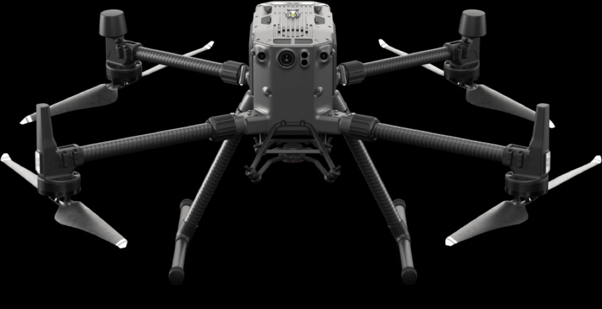
Drone mapping is an aerial survey carried out using a drone and specialized cameras, which may contain RGB (for photogrammetry), multispectral, thermal, or LiDAR sensors.
This technology allows for the collecting of very accurate data in a very short period of time. In fact, one study found that drone mapping collected data more than 90% faster than manual approaches.
It is also a safer method of data collection: no longer do you need people to trek through dangerous terrain or work at heights - the drone can do it for you.
This data may be analysed using drone mapping software to generate a variety of assets, such as 3D models, 2D maps, and digital elevation models, from which valuable information such as very accurate measurements and volumetric calculations can be extracted.
This data aids in informed decision-making, gives vital insights - such as recognizing mistakes or difficulties and keeping track of project progress - and streamlines effective communication with colleagues, stakeholders, and the community.
Outputs of Drone Mapping
Photogrammetry and LiDAR are two of the most common forms of drone mapping procedures.
The art of taking high-resolution images to reproduce a survey area is known as photogrammetry. These photographs are then analyzed and stitched together with sophisticated software to produce accurate, geo-referenced, and measurable 3D models of the real environment, as well as 2D maps.
LiDAR works by sending light pulses to the earth's surface or a feature on it and measuring how long it takes for the light to bounce back. LiDAR is very good at detecting small things such as powerlines during drone mapping.
Drone mapping, including photogrammetry and LiDAR, can generate a variety of outputs that can assist surveyors and professionals in other industries in gaining critical insights.
Drone Maps in 2D Orthomosaic
A 2D orthomosaic is a top-down map of a survey site or asset created by stitching together hundreds or thousands of digital photographs taken by a drone.
Drones and high-resolution cameras can assist in the creation of precise, centimeter-accurate georeferenced maps.
These maps and images provide a real-world perspective, facilitating quick decision-making and analysis of how a project is moving.
Point Clouds in 3D
A point cloud dataset is an electronic depiction of a survey area or object. It is composed of thousands of points, each of which represents a geometric coordinate. When they are joined, they form a fully fleshed-out 3D model. The model becomes denser as more points are collected.
Point clouds can include a variety of information, including observations and measurements of an object's depth, elevation, geometry, and location in space.
3D laser scanners and LiDAR are commonly used to generate point clouds, with each point representing a single laser scan measurement.
Mesh Maps in 3D
A 3D mesh is a next step in the evolution of a point cloud. Between the spots, little triangles are formed, and mapping software generates a texture to produce a 3D mesh or model.
3D models are an excellent visual element for project monitoring and progress.
Thermal Mapping by Drone
Thermal drone mapping is an effective tool for monitoring assets in the oil and gas and utility industries.
A thermal drone survey can detect aberrant heat signatures that the naked eye might miss. Thermal drone mapping can aid in the detection of heat loss, water leakage, and electrical issues.
Mapping Multispectral
Multispectral drone mapping may give farmers a variety of information, which is very useful in the agricultural economy.
Drone mapping can produce vegetation indicators that can be used to visualise and understand crop health; orthomosaic maps can be constructed to track crop evolution; and fertiliser regimens may be developed to boost overall productivity.
Applications for Drone Mapping
Drone mapping is now so valuable that it is utilized for land surveying, roof inspections, underground services, bridge/building assessments, infrastructure maintenance, and construction sites.
Contact Falcon Survey today if you need any type of drone mapping services.


Sign in to leave a comment.