
Introduction
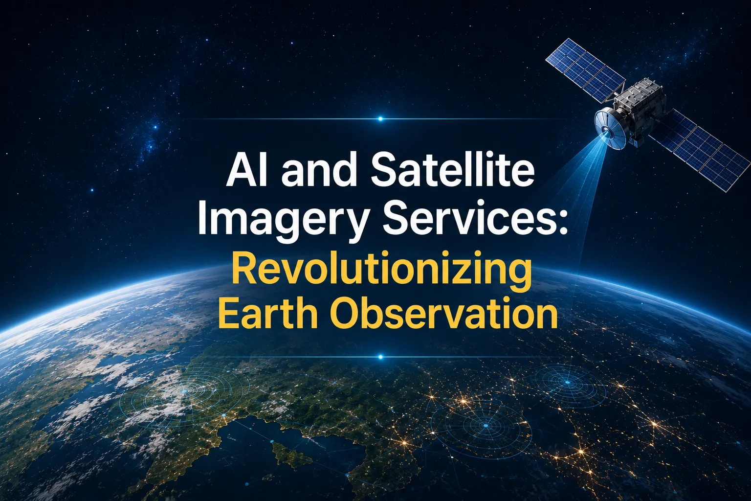
Artificial Intelligence (AI) is transforming industries across the globe, and one of its most significant impacts is in the field of satellite imagery services. By combining AI with high resolution satellite imagery, organizations can process vast amounts of geospatial data faster, more accurately, and more efficiently than ever before.
Traditional satellite image analysis often required skilled professionals to manually interpret images, making the process time-consuming and resource-intensive. Today, AI-powered technologies automate image processing, detect patterns, identify changes, and generate actionable insights within minutes.
As businesses increasingly rely on Earth observation services for planning, monitoring, and decision-making, AI has become a critical technology driving innovation across industries such as agriculture, urban planning, environmental monitoring, disaster management, infrastructure, mining, and utilities.
What Are AI-Powered Satellite Imagery Services?
Satellite imagery services involve capturing images of the Earth's surface using satellites equipped with advanced optical, multispectral, hyperspectral, or radar sensors. These images provide valuable information about land, water, vegetation, infrastructure, and environmental changes.
When AI is integrated into satellite imagery workflows, it significantly enhances the speed and accuracy of image analysis. Machine learning algorithms can automatically recognize objects, classify land cover, detect changes over time, and identify anomalies that might otherwise go unnoticed.
Instead of spending days reviewing satellite images manually, organizations can receive intelligent insights within hours, enabling faster and more informed decision-making.
How AI Is Transforming Earth Observation Services
AI has introduced a new level of intelligence into Earth observation services by automating complex geospatial analysis. Advanced algorithms can process thousands of satellite images simultaneously while continuously improving through machine learning.
Some of the key AI capabilities include:
- Automatic feature extraction
- Object detection and classification
- Land use and land cover mapping
- Change detection analysis
- Predictive geospatial analytics
- Infrastructure monitoring
- Environmental assessment
- Disaster impact analysis
These capabilities enable organizations to monitor large geographic areas with greater precision while reducing operational costs and human effort.
Benefits of AI in Satellite Imagery Services
Faster Image Processing
AI dramatically reduces the time required to analyze large volumes of satellite imagery. Automated workflows process images in minutes rather than days, enabling organizations to respond quickly to changing conditions.
Improved Accuracy
Machine learning models minimize human error by consistently identifying objects, features, and changes across large datasets. Continuous learning further enhances analytical accuracy over time.
Real-Time Decision Making
Near real-time satellite imagery combined with AI allows businesses and government agencies to monitor events as they happen, supporting rapid response during emergencies and operational planning.
Cost Efficiency
Automation reduces the need for extensive manual interpretation, lowering operational costs while increasing productivity.
Scalable Analysis
AI can analyze satellite imagery covering entire countries, continents, or even the globe, making it ideal for organizations managing large-scale projects.
Applications Across Industries
Agriculture
Farmers and agricultural organizations use AI-powered satellite imagery to monitor crop health, identify irrigation issues, detect pest infestations, and optimize fertilizer application. Precision agriculture improves crop yields while reducing resource consumption.
Urban Planning
City planners use satellite imagery services to monitor urban expansion, assess land use changes, and support infrastructure development. AI helps identify suitable development areas while improving long-term planning.
Disaster Management
Earth observation services play a critical role before, during, and after natural disasters. AI quickly detects floods, wildfires, landslides, hurricanes, and earthquake damage, enabling faster emergency response and recovery planning.
Environmental Monitoring
Organizations monitor deforestation, coastal erosion, biodiversity, water resources, and climate-related changes using AI-driven satellite imagery. Continuous monitoring supports sustainability initiatives and regulatory compliance.
Infrastructure Monitoring
Transportation networks, pipelines, power lines, railways, and construction projects benefit from AI-based monitoring that identifies structural changes, potential risks, and maintenance requirements before major failures occur.
Mining and Natural Resources
Mining companies use satellite imagery to explore mineral-rich regions, monitor environmental impact, and optimize extraction activities while maintaining regulatory standards.
High Resolution Satellite Imagery and AI
The increasing availability of high resolution satellite imagery has significantly enhanced AI capabilities. Detailed imagery allows algorithms to detect smaller objects, improve classification accuracy, and generate more precise insights.
High resolution imagery supports applications such as:
- Building detection
- Road network mapping
- Utility asset monitoring
- Precision agriculture
- Construction progress tracking
- Coastal monitoring
- Forest inventory
- Infrastructure inspections
As satellite technology advances, AI models will continue delivering even greater levels of automation and intelligence.
Future Trends in AI and Earth Observation
The future of Earth observation services is driven by rapid advancements in artificial intelligence and cloud computing. Emerging technologies are making satellite imagery more accessible, affordable, and valuable for organizations worldwide.
Key trends include:
- AI-powered predictive analytics
- Automated change detection
- Digital twin creation
- Smart city monitoring
- Climate risk assessment
- Autonomous image interpretation
- Real-time global monitoring
- Integration with Internet of Things (IoT) data
- Advanced geospatial intelligence platforms
These innovations will enable organizations to make faster, data-driven decisions while improving operational efficiency and sustainability.
Choosing the Right Satellite Imagery Services Partner
Selecting the right satellite imagery services provider is essential for maximizing the value of geospatial data. Businesses should consider factors such as industry expertise, image processing capabilities, AI integration, scalability, data accuracy, and customized analytical solutions.
An experienced geospatial partner can help organizations transform raw satellite imagery into actionable business intelligence tailored to specific operational needs.
Conclusion
Artificial Intelligence is revolutionizing satellite imagery services by making Earth observation faster, smarter, and more accurate than ever before. From agriculture and urban planning to disaster management and environmental monitoring, AI-powered geospatial intelligence enables organizations to improve decision-making, optimize resources, and respond effectively to changing conditions.
As demand for high resolution satellite imagery and advanced Earth observation services continues to grow, businesses increasingly require reliable partners capable of delivering innovative geospatial solutions.
DSM Soft is a trusted provider of geospatial and Earth observation services, offering expertise in satellite image processing, GIS mapping, remote sensing, AI-assisted geospatial workflows, and customized spatial data solutions. By combining advanced technologies with industry experience, DSM Soft helps organizations transform satellite data into meaningful insights that support smarter decisions and sustainable growth.






















Sign in to leave a comment.