
Popular WriteUps
View all →
Ground Penetrating Radar Meets Drones: A New Way to See Beneath t…
Ground Penetrating Radar has been a staple of subsurface investigation for decades, utility mapping, void detection, archaeological surveys, but traditionall...
0
0
0
0

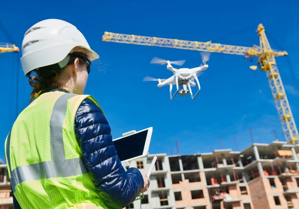
What Makes an Enterprise Drone Suitable for Professional Surveyin…
Professional surveying requires more than capturing aerial photographs. Survey teams need usable data, reliable positioning, appropriate camera technology, a...
0
0
0
0

What to Consider When Choosing a Surveying Drone
Inspecting a tall structure or difficult industrial asset can be time consuming.It may require specialized access equipment, temporary closures, climbing sys...
0
0
0
0
Recent Activity

Business
5 Ways Underwater Drones Support Professional Inspections
Inspecting something beneath the water is not the same as inspecting it on land.Limited visibility, depth and difficult access can make underwater inspection...
Business
What to Consider When Choosing a Surveying Drone
Inspecting a tall structure or difficult industrial asset can be time consuming.It may require specialized access equipment, temporary closures, climbing sys...
Technology
What Makes an Enterprise Drone Suitable for Professional Surveying?
Professional surveying requires more than capturing aerial photographs. Survey teams need usable data, reliable positioning, appropriate camera technology, a...
Business
Ground Penetrating Radar Meets Drones: A New Way to See Beneath the Surface
Ground Penetrating Radar has been a staple of subsurface investigation for decades, utility mapping, void detection, archaeological surveys, but traditionall...