
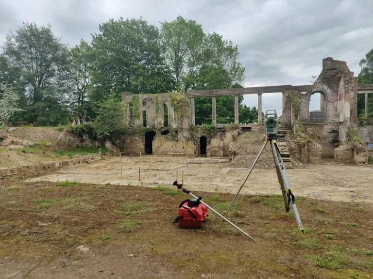
Topographic land survey indicates the shape of the size and feature of a piece of land. It incorporates vegetation, structures, roadways, gradients, and whatever there is on land or under it.
A professional land surveyor in Kent offers accurate, legally accepted measurements and maps of land and property. This information is critical for applications in planning, design precision, legal definitions, and overall project viability in the long term. They see far more than plot lines—they recognize physical characteristics, elevations, buildings, and legal boundary limitations that have the power to greatly affect a development project.
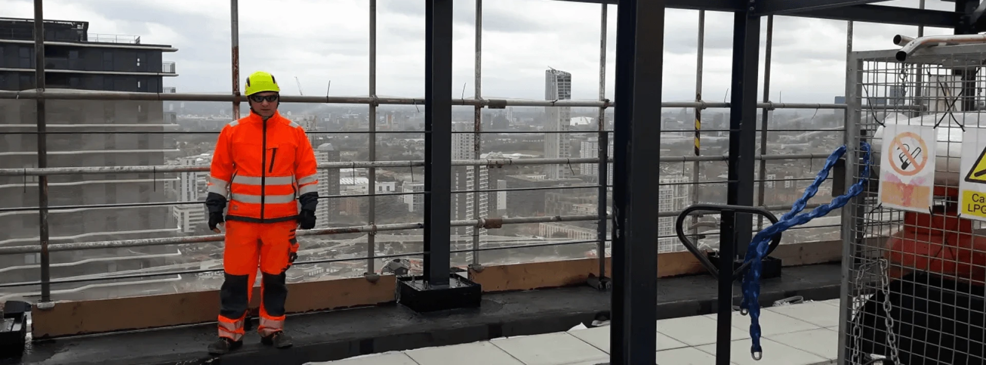
A successful construction surveyor needs to demonstrate strong attention to detail together with problem-solving skills and knowledge about construction laws as well as competence in surveying technology. Surveyors require excellent project management competencies combined with effective communication abilities since working together with multiple industry specialists is common.