What is a Geographic Information System?
A Geographical Information System (GIS) is a system for recording, storing, analyzing, and managing geographically related data and properties. The geographical information system is also known as a geospatial information system.
These technologies are quickly becoming an indispensable tool for combining diverse maps and remote sensing data to build models that can be used in real-time.
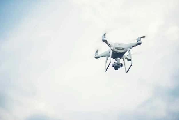
GIS satellite imagery is a type of satellite imagery used to build maps and spatial data with the help of photographs taken through satellites. It is similar to a multi-layered map of the Earth.
If you want some more information on GIS Satellite Imagery and its uses in today’s era then visit our site.
GIS is widely used in the following industries:
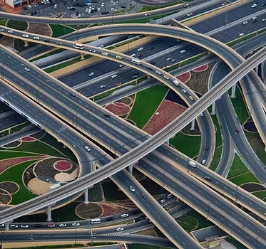
Transportation:One of the most popular GIS application domains is transportation. These applications are utilized in both the planning of new roads and the maintenance schedules of existing roads.
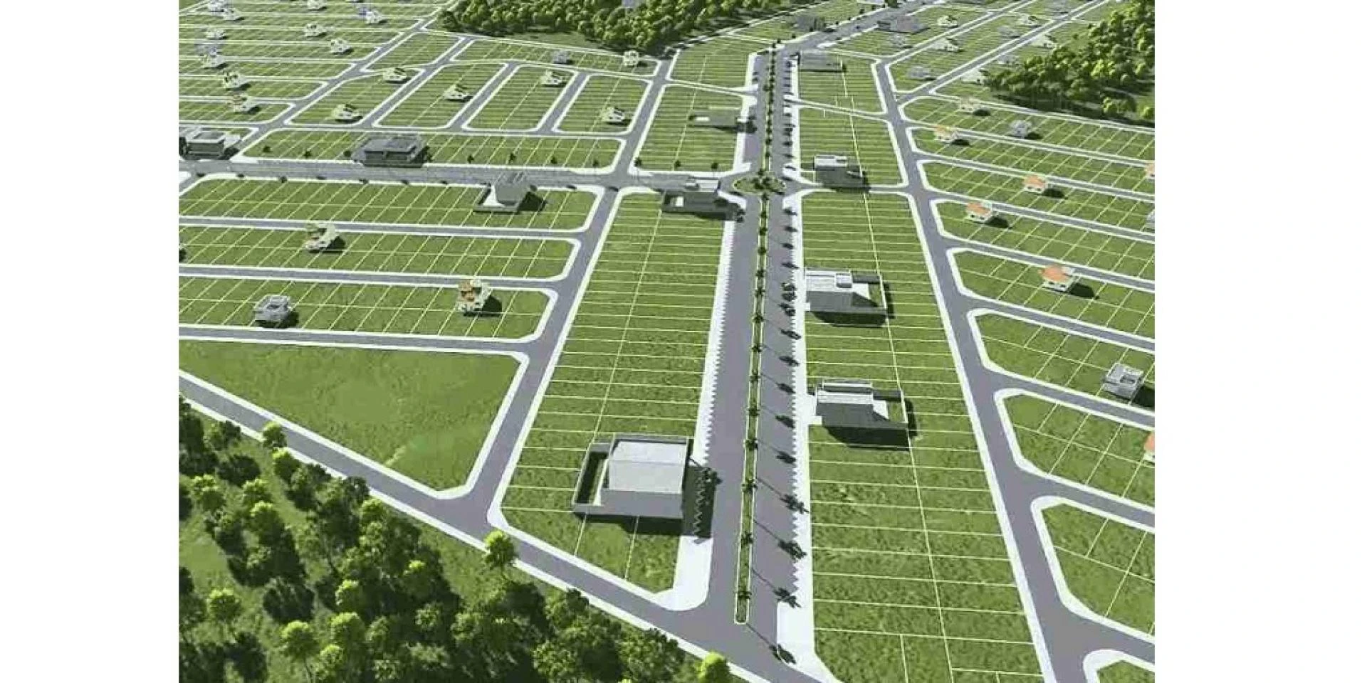
A topographical analysis of the landscape, as well as expected circulation patterns at the local and regional levels, are required for designing new road networks.
GIS can also be used to conduct thorough impact analyses as part of the decision-making process for building new roadways. Many transportation agencies and private firms have been using these for their broad scope in the transportation and logistics sector.
Following are some of them:
Planning and management of infrastructureAnalysis of transportation safety.Analysis of travel demandControl and monitoring of traffic.Planning and operation of public transportation.Evaluating the economic and environmental consequencesDefense:
In military operations, the notion of Command, Control, Communication, and Coordination is heavily reliant on the availability of accurate, geographical information to make timely judgments for operational orders.
GIS technology is a wonderful resource for military commanders in operations in the current digital era. These technologies in military forces have transformed how these forces operate and function.
Cartography, intelligence, battlefield field management, terrain analysis, remote sensing, military installation administration, and monitoring of potential terrorist activity are all examples of how military forces use GIS services.
Globally, multi-criteria modeling in GIS has proven effective for locating optimal regions. Solar, wind, geothermal, hydrogen, tidal, wave, hydropower, biomass, nuclear, and fossil fuels are all examples of energy resources.
They are all location-based assets, regardless of the resource. This technology is assisting and underpinning the advancement of this major transition.
GIS is transforming not only how we create and transmit energy, but also how we view and utilize our planet's resources.
These technologies are also useful in locating the optimal places (in terms of natural and cultural resources) and determining the best corridors for resource transmission and distribution.
Wind potential, solar potential, distance to transmission lines, distance to cities, population density, distance to highways, type of land cover, and whether the region is on federal property (i.e., lack of desire to build energy resources in these lands) are some of the types of data retrieved from GIS for locating energy resources.
Mining:
Most mining firms use GIS software to improve data exchange, processing efficiency, and decision-making to locate profitable locations.
This software is used by mining experts to boost efficiency and cut costs. Engineers and operations personnel utilize this kind of software for facility planning applications, which aid miners in keeping track of existing infrastructure and integrating current data with the mine plan.
Simply said, these technologies can improve the management of every aspect of the mining industry.
Most mining firms use these applications to improve data exchange, processing efficiency, and decision-making to locate profitable locations.
GIS is used by mining corporations mainly to:
Target mineral exploration.Examine the mining situation.Construction of a model mineData on geochemistry and hydrology are displayed.Improvements in facility management and policing are needed.Examine the impact on the environment.Telecom and Network services:
One of the world's fastest-growing GIS markets is telecommunications. Telecommunications networks are vast, and they generate massive amounts of asset data that is scattered around the globe.
This is an important tool for telecom businesses to use when determining which areas require installation or maintenance.
Telecom companies can use GIS mapping to improve network planning, deployment, maintenance, operations, and even sales and marketing.
These technologies can also help determine the number of employees needed and where they should be stationed.
Integrating GIS into daily operations can assist telecom companies in achieving the following goals:
Reduce operating expenses by improving access to and the dependability of infrastructure data.Improve the quality of operational decisionsSimplify network planning in the future.Improve the time it takes to respond to network problems.Invest your resources wisely.
Conclusion:
Geographic information systems are the foundation of geographical science and its allied fields. GIS Software has a significant impact not only on both businesses and industry but also on the general population.
Through a broad spectrum of geospatial services, including technical, engineering, and integrations that support GIS, FS Qatar uses increasingly in-depth GIS data to solve real-world challenges every day. Visit our website and get in touch with us right away to get a free consultation.
0
0
Sign in to leave a comment.