Popular WriteUps
View all →
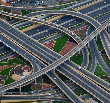
What is Geographic Information Systems (GIS)?
GIS Satellite Imagery Resources are a type of geospatial data that uses satellite imagery to analyze and map the earth. Compared to the traditional table maps, a GIS map is dynamic and interactive.
0
0
0
0
Industries that have benefited from using GIS Software.
Geographic information systems are the foundation of geographical science and its allied fields.
0
0
0
0
GIS Satellite Imagery
0
0
0
0
Recent Activity
Technology
Industries that have benefited from using GIS Software.
Geographic information systems are the foundation of geographical science and its allied fields.

Technology
What is Geographic Information Systems (GIS)?
GIS Satellite Imagery Resources are a type of geospatial data that uses satellite imagery to analyze and map the earth. Compared to the traditional table maps, a GIS map is dynamic and interactive.