A Geographical Information System (GIS) is a system for recording, storing, analysing, and managing geographically related data and properties. The geographical information system is also known as a geospatial information system or a geographic information system. It is an information system that can integrate, store, edit, analyse, share, and display geographically related data. GIS technology is quickly becoming an indispensable tool for combining diverse maps and remote sensing data to build models that can be used in real-time. A geographical information system (GIS) is a science that employs geographic concepts, applications, and systems. GIS connects data to a map by combining location data with several forms of descriptive data. This lays the groundwork for mapping and analysis, which are employed in science and practically every sector. GIS is used by hundreds of thousands of companies worldwide to create maps that communicate, perform analysis, share information, and solve complicated problems. This is altering the way the world operates.
What are the Benefits of GIS?
Geographic management entails knowing what is and will be happening in a geographic space in order to plan a course of action.Improved communication between any concerned organisations or departments because the visual format is easily understood by all.Reduce costs and improve efficiency, particularly when it comes to maintenance schedules, fleet movements, and scheduling calendars.Decisions are made easier since specific and thorough information about one or more sites is supplied. Real estate site selection, route/corridor selection, zoning, planning, conservation, natural resource extraction, and so on are common examples.GIS-based maps and visualisations substantially aid in situational knowledge and story telling. They are a new language that facilitates communication among many teams, departments, disciplines, professional sectors, companies, and the general public.GIS is widely used in the following industries:
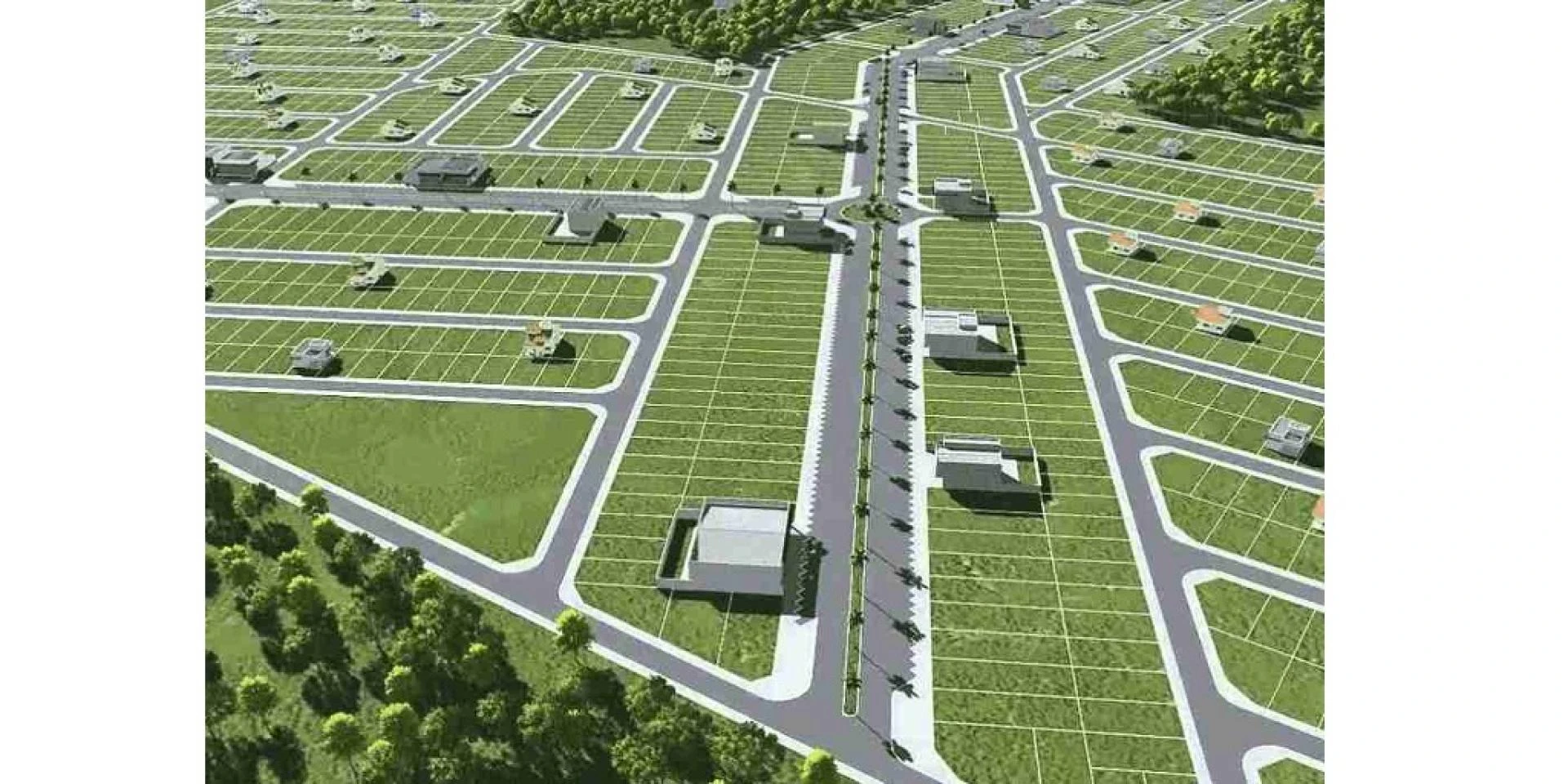
Roads and highways - GIS applications are utilised in both the planning of new roads and the maintenance schedules of existing roads. A topographical analysis of the landscape, as well as expected circulation patterns at the local and regional levels, are required for designing new road networks. GIS can also be used to conduct thorough impact analyses as part of the decision-making process for building new roadways.Power - The electricity supply sector is divided into two sections: generating and distribution, and GIS applications efficiently assist both. GIS apps are used on the generating side to manage and predict short-term supply requirements, allowing demand to be constantly matched to supply. The logistical aspect of efficiently managing infrastructure allows for planned maintenance to be scheduled and prospective difficulty spots to be detected.Public works –Public works departments plan transportation and utilities infrastructure in both urban and rural locations. GIS applications can be used to model current provision, which can then be used to estimate future requirements given population churn and growth.Government - Government at all levels, whether national, regional, or municipal, makes extensive use of GIS applications to plan services. The increased capacity to update a profile quickly allows the government to engage with local residents in the planning process. Computer models can be created and distributed in the community as part of consultation processes to allow stakeholders to see exactly how their views and ideas may affect a given plan. Mapping apps can be used to engage the public and improve policy making by increasing transparency.Conclusion:
GIS satellite imagery provides numerous advantages, including the ability to see changes in vegetation and land use that cannot be seen on a map. It also provides for more precise estimations of population size and economic activity than traditional maps.
0

Sign in to leave a comment.