
Rapid urban growth demands a level of precision and planning that leaves little room for guesswork. That’s where 3D visualization services make a real difference, reshaping how architects, planners, and developers imagine and design the cities of tomorrow.
From high-rises and transport networks to parks and housing, 3D rendering turns abstract plans into clear, tangible visuals. It’s more than creating attractive images; it’s about building smarter, greener, and better-connected cities through collaboration and informed design decisions.
What Is 3D Rendering?
At its core, 3D rendering is the process of converting digital models into realistic visual images. It involves creating three-dimensional representations of buildings, interiors, and landscapes using specialized software.
These lifelike images showcase everything from lighting and materials to texture and scale, helping everyone involved see exactly what the final project will look like before construction begins.
For urban development, 3D rendering is revolutionary. It allows city planners to simulate real-world scenarios, test environmental impacts, and visualize how proposed structures fit within the existing cityscape, all before a single brick is laid.
How 3D Architectural Rendering Works in Urban Planning
When it comes to 3D architectural rendering, the process starts with creating digital 3D models using CAD or BIM software. Architects then add materials, lighting effects, and environmental details such as trees, sky, and surrounding buildings. The final output, often photorealistic, provides an accurate representation of how the project will appear in its real-world context.
This visual precision has reshaped the way decisions are made in urban development. According to a 2024 study, projects utilizing 3D rendering reduce design revision time by up to 35%, streamlining approvals and significantly reducing costs.
These renderings help stakeholders, from city officials to investors, clearly understand the project’s scope and potential, making planning meetings more productive and data-driven.
Role of 3D Floor Plan Rendering Services in City Development
Detailed 3D floor plan rendering services provide a bird’s-eye view of layouts and spatial relationships within buildings and infrastructure. Whether it’s a mixed-use complex or a public transit hub, floor plan renderings display the interior flow, accessibility, and design functionality of every space.
This technology is especially useful for large-scale urban developments where multiple buildings and community zones coexist. Developers can analyze how residential, commercial, and recreational spaces connect, ensuring that every square meter contributes to efficient city design.
For instance, city planners in Singapore use floor plan rendering to model housing density and optimize pedestrian movement — a major factor in creating walkable, people-friendly urban spaces.
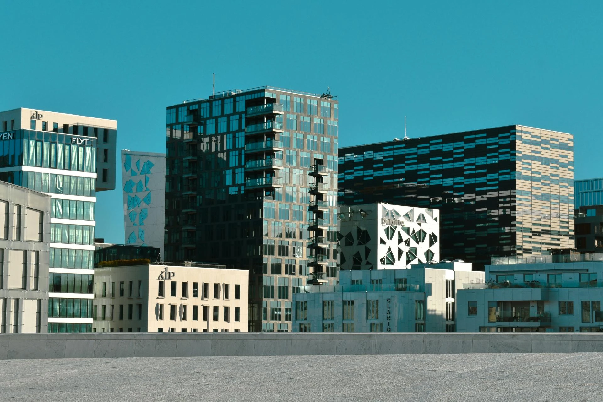
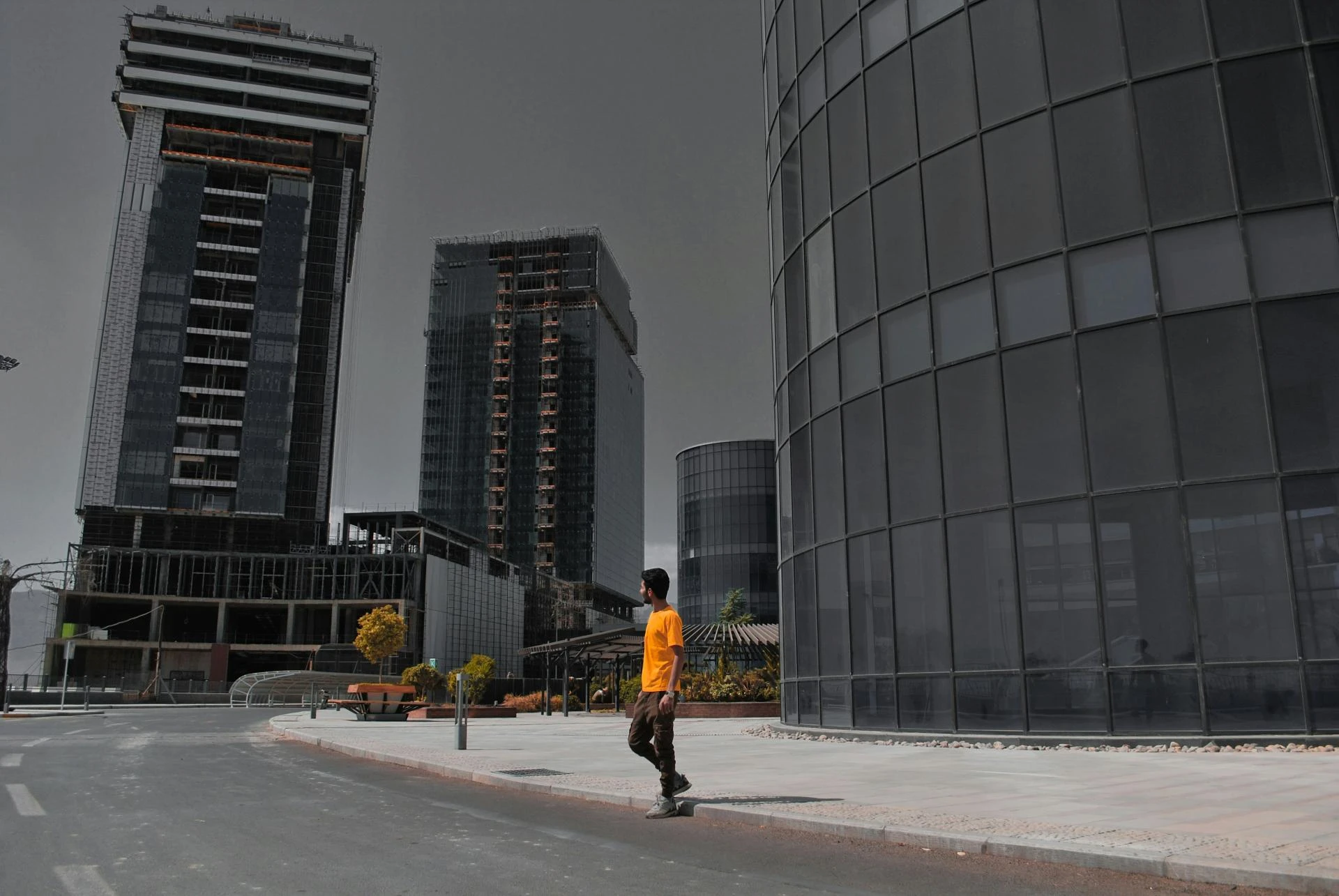
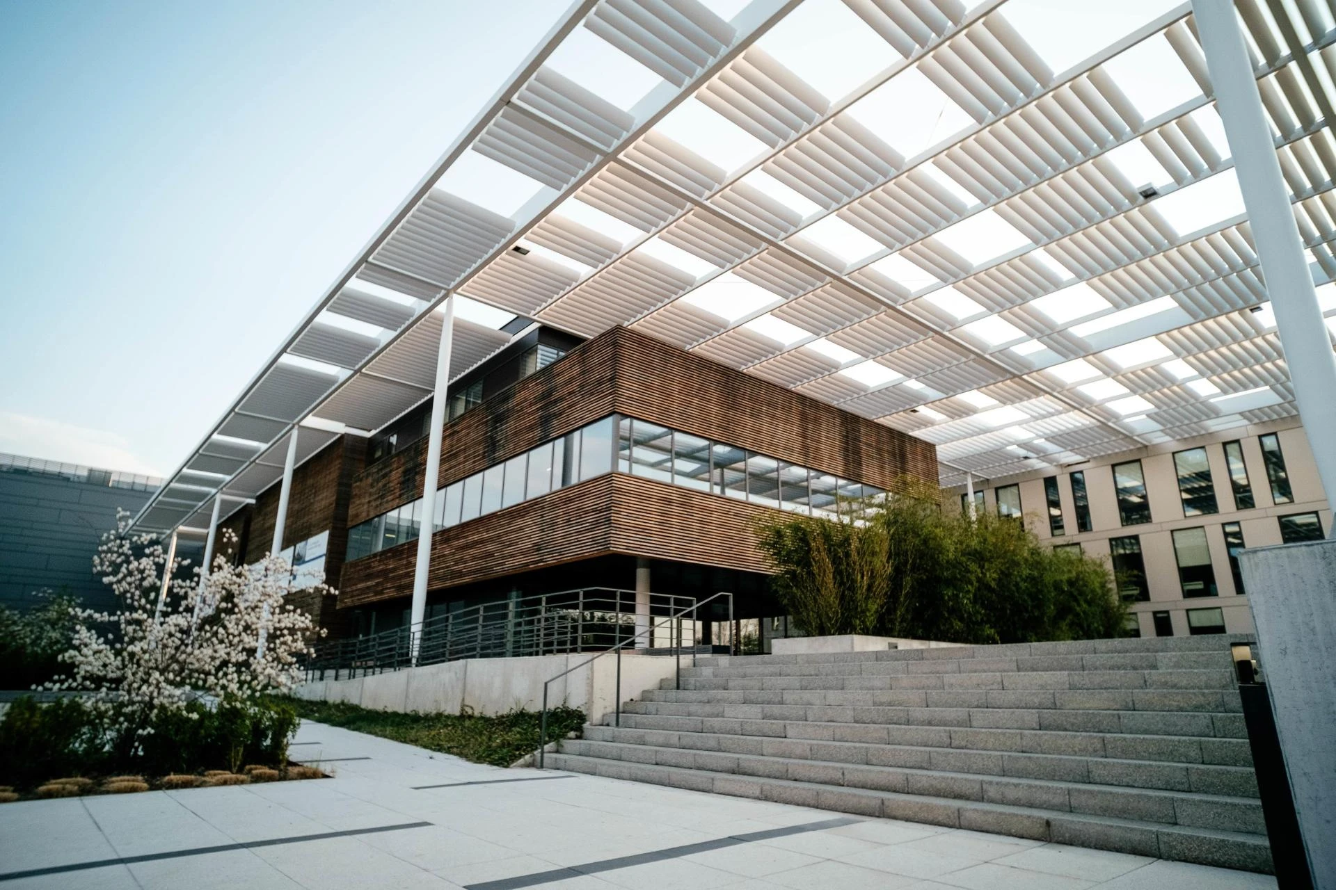
3D Architectural Exterior Rendering: Bringing Cities to Life
3D architectural exterior rendering offers a panoramic view of entire neighborhoods and city districts, showcasing how structures interact with surrounding landscapes and infrastructure. From bridges and parks to highways and high-rises, this rendering style helps planners visualize how new developments harmonize with the environment.
The ability to see textures, reflections, and materials under realistic lighting conditions helps evaluate aesthetics and design harmony. Moreover, 3D exterior renderings allow for early detection of potential conflicts — such as shadowing issues, visibility problems, or zoning inconsistencies.
A report by Smart City Insights reveals that over 70% of urban projects using exterior renderings experience smoother regulatory approvals, thanks to their clear and persuasive visual documentation.
Why 3D Visualization Service Is Essential for Urban Planning
Modern cities demand precision. A 3D visualization service bridges the gap between concept and construction by allowing developers to simulate urban life in digital space. City officials can evaluate traffic flow, pedestrian pathways, and environmental impacts before breaking ground.
Beyond aesthetics, these visualizations support environmental and sustainability goals — modeling energy consumption, sunlight exposure, and water drainage. They also make community participation easier, as residents can view proposed changes through immersive, interactive visuals and offer feedback.
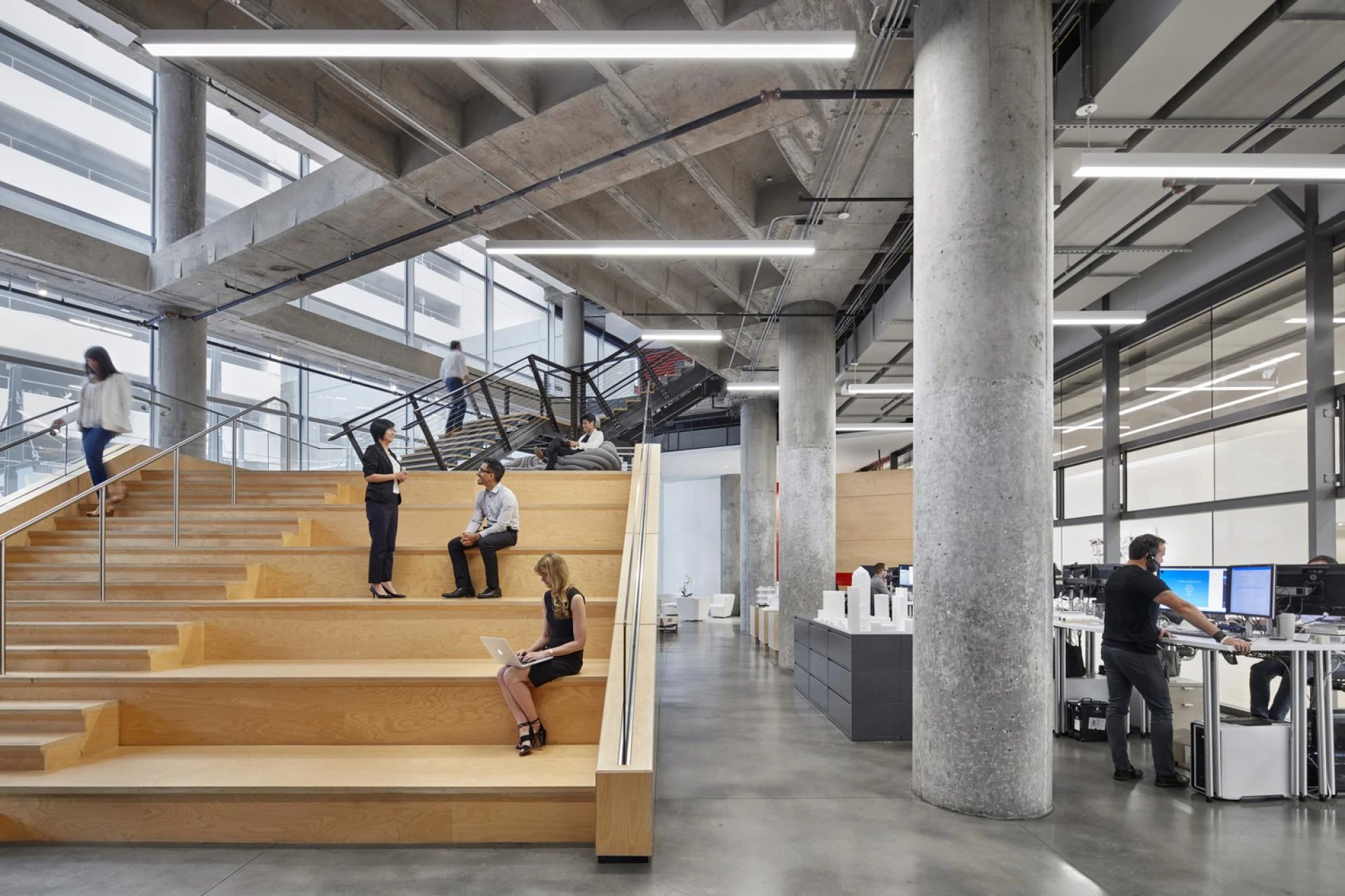
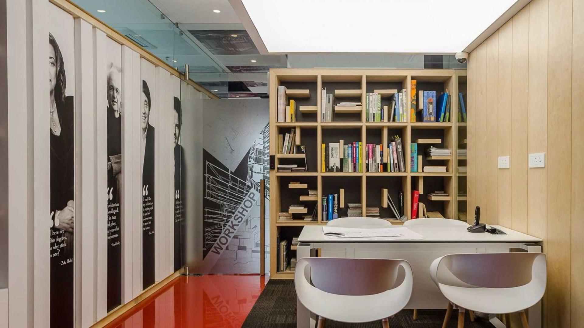
How 3D Interior Visualization Services Enhance Urban Living
While exteriors define a city’s skyline, interiors shape daily experiences. 3D interior visualization services help architects and designers craft functional, aesthetic spaces for residential, commercial, and public environments. These renderings show furniture arrangements, lighting, and materials in incredible detail — making design decisions faster and more accurate.
In urban development projects, interior visualizations play a crucial role in creating cohesive community spaces like co-working areas, libraries, and cafes. They allow developers to ensure each space supports comfort, productivity, and accessibility — essential traits in today’s smart cities.
Benefits of 3D Visualization Services for Users and Customers
From city planners to homebuyers, 3D visualization services benefit everyone involved in urban transformation.
- For architects and developers: They streamline approvals, minimize design errors, and improve collaboration.
- For investors: Renderings offer a clear visual understanding of ROI potential.
- For citizens: They enable better participation through visual transparency.
- For governments: They simplify communication and enhance policy alignment.
Ultimately, 3D rendering democratizes urban development making it easier for all stakeholders to visualize, understand, and shape the future of their city.
The Power of 3D Architectural Rendering in Future Cities
The future of 3D architectural rendering lies in immersive technology. With AI and VR integration, planners can now “walk through” virtual cities before construction begins. These interactive simulations not only make presentations engaging but also help identify real-world challenges early.
AI-enhanced rendering tools can even analyze terrain and demographics to recommend optimal layouts for energy efficiency and sustainability, helping cities evolve intelligently and responsibly.
As technology advances, real-time rendering platforms will continue to blur the line between the virtual and the physical, setting a new gold standard for precision in urban development.
Know Some More!
What is the main purpose of 3D rendering in urban development?
To create realistic visualizations of proposed projects, helping planners, developers, and citizens understand the design’s impact before construction begins.
How do 3D renderings improve communication in city projects?
They present complex ideas visually, allowing non-technical stakeholders to understand design concepts clearly, improving collaboration and decision-making.
Are 3D rendering tools only for large-scale city projects?
Not at all! Even small residential or commercial developments benefit from visual clarity and design accuracy provided by 3D rendering.
How can businesses choose the right 3D rendering partner?
Select a firm with experience in 3D floor plan rendering, strong technical expertise, and a portfolio of urban or architectural visualization projects.
Partner With A Reliable Architectural and Interior Design Company Today!
3D rendering is no longer just a design trend; it’s a necessity for creating smarter, more sustainable, and visually precise cities. Whether it’s architecture, infrastructure, or interior design, renderings bring clarity and collaboration to every stage of urban development.
If you’re looking for a 3D floor plan rendering company that understands both design vision and technical detail, now is the time to act. How will you bring your next city project to life? Partner with a trusted architectural and interior design firm today to turn your vision into a stunning reality.


Sign in to leave a comment.