In recent years, aerial mapping and remote sensing technologies have revolutionized the way agriculture and natural resource management are conducted. These advanced tools, combined with geospatial mapping services, enable farmers, environmentalists, and policymakers to make data-driven decisions that increase productivity, optimize resource use, and promote sustainability.
Understanding Aerial Mapping and Remote Sensing
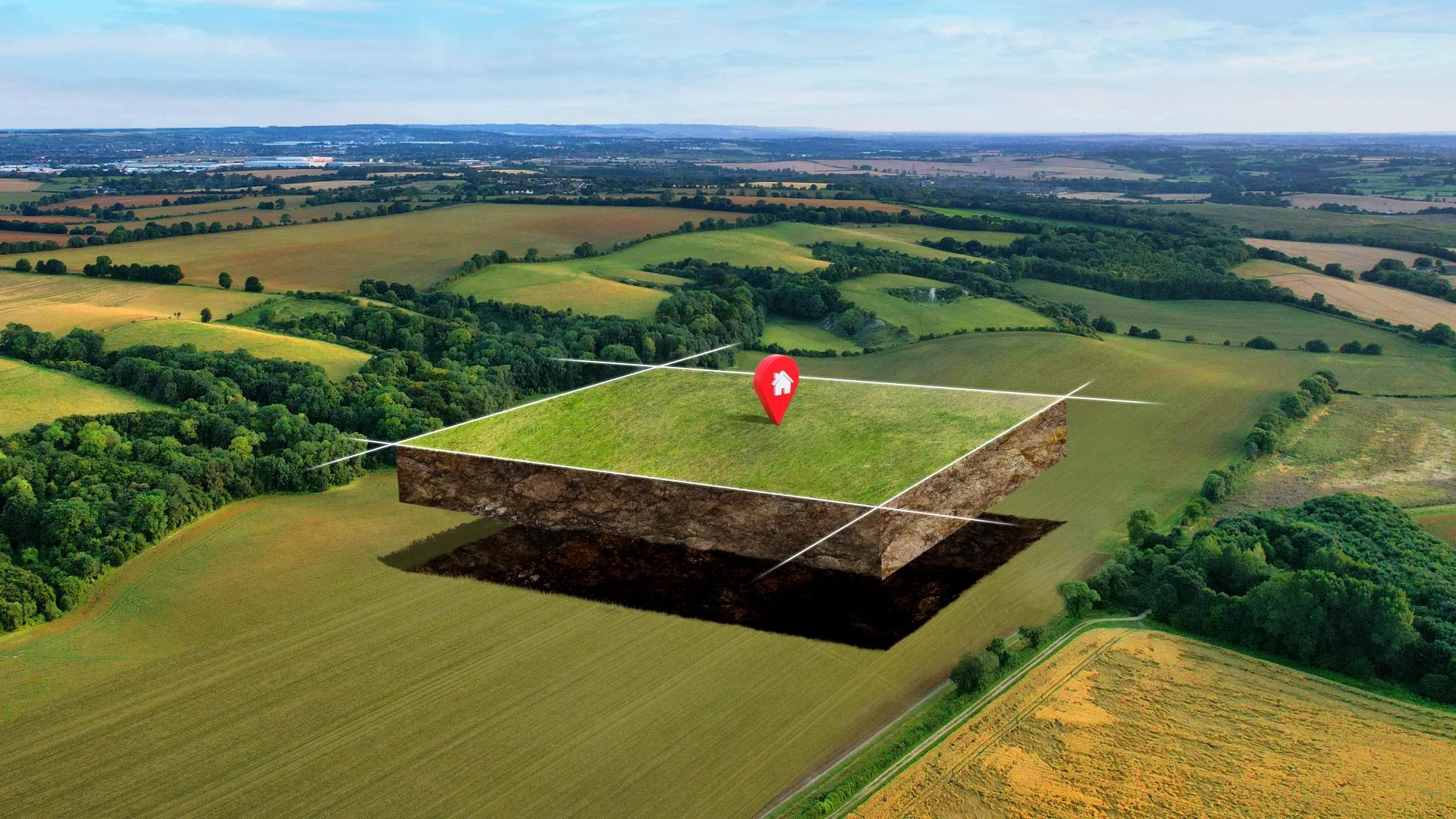
Aerial mapping involves capturing high-resolution images of the Earth’s surface using drones, airplanes, or satellites. This data provides precise spatial information that helps analyze terrain, vegetation, soil, and water resources. Meanwhile, remote sensing refers to the collection of data from a distance, typically through satellite sensors or aerial platforms, without physical contact with the area being observed.
Together, these technologies create a powerful framework for geospatial mapping services that transform raw data into actionable insights, enabling real-time monitoring and management of agricultural fields and natural landscapes.
The Role of Aerial Mapping and Remote Sensing in Agriculture
Agriculture has greatly benefited from the adoption of aerial mapping and remote sensing technologies. These tools offer multiple applications that drive precision farming, reduce costs, and enhance crop yields.
· Crop Health Monitoring: Multispectral and hyperspectral imagery captured through aerial mapping provides detailed information about crop vigor, nutrient deficiencies, pest infestations, and disease outbreaks. This early detection allows farmers to take targeted action before problems escalate.
· Soil Moisture and Condition Analysis: Using remote sensing, soil moisture levels and soil types can be accurately mapped. This information helps in optimizing irrigation schedules and fertilizer application, ensuring efficient water use and preventing over-fertilization.
· Yield Prediction: Advanced algorithms analyze data from aerial mapping and remote sensing to forecast crop yields. This enables farmers to plan better for harvests, storage, and market distribution.
· Pest and Disease Management: By detecting stress signals in crops, these technologies help predict pest outbreaks and diseases, allowing for timely intervention with minimal pesticide use.
By integrating geospatial mapping services, farmers gain a comprehensive understanding of their land, enabling precision agriculture practices that maximize productivity while reducing environmental impact.
Natural Resource Management: A New Paradigm
Beyond agriculture, aerial mapping and remote sensing are pivotal in managing forests, water bodies, and other natural resources.
· Forest Monitoring: Remote sensing data helps assess forest health, track deforestation, and monitor biodiversity. It supports sustainable logging practices and conservation efforts.
· Water Resource Management: Mapping watersheds and water bodies through aerial surveys provides insights into water availability, quality, and distribution, aiding in sustainable water use planning.
· Land Use Planning: These technologies enable accurate land classification and monitoring changes in land cover, facilitating better land management decisions to balance development and conservation.
· Disaster Management: In events such as floods or droughts, remote sensing provides critical data to assess impact and guide response and recovery efforts efficiently.
Technological Advances Driving the Revolution
The effectiveness of aerial mapping and remote sensing in agriculture and natural resource management has grown with rapid advancements:
· Drones and UAVs: Unmanned Aerial Vehicles can capture ultra-high-resolution images at a lower cost and with greater flexibility than satellites, enabling frequent, localized monitoring.
· Satellite Imagery: Modern satellites equipped with multispectral sensors provide wide-area coverage and consistent data streams vital for regional and global monitoring.
· GIS Integration: Geographic Information Systems combine spatial data from aerial mapping and remote sensing with other datasets, supporting sophisticated analysis and visualization.
· Machine Learning and AI: These technologies enhance data processing, enabling predictive analytics such as crop yield forecasts and early detection of anomalies.
Benefits for Stakeholders
The adoption of these technologies translates into tangible benefits for various stakeholders:
· Farmers gain precise, timely information to improve crop management, reduce input costs, and increase yields.
· Environmental Managers obtain accurate data to monitor ecosystems, manage resources sustainably, and comply with regulatory requirements.
· Government Agencies can better plan agricultural policies, food security strategies, and disaster mitigation efforts.
· Businesses and Agritech Innovators can develop smarter, data-driven tools and platforms that empower end-users.
Challenges and the Road Ahead
Despite significant progress, challenges remain in fully realizing the potential of aerial mapping and remote sensing:
· Data complexity and volume require skilled analysis and interpretation.
· High initial investment costs and infrastructure requirements can hinder adoption, especially in developing regions.
· Connectivity and data integration across platforms need enhancement for seamless operations.
Magnasoft’s expertise in geospatial mapping services positions it uniquely to help clients overcome these challenges by providing tailored solutions combining cutting-edge technology, domain knowledge, and robust analytics.
Conclusion
Aerial mapping and remote sensing have become indispensable tools transforming agriculture and natural resource management. By enabling precise, data-driven insights through advanced geospatial mapping services, these technologies help optimize resource use, enhance
sustainability, and improve productivity. As innovations continue, their role will only grow stronger, shaping the future of how we steward the land and feed the world.


Sign in to leave a comment.