Why Construction Needs Real-Time Eyes on the Ground
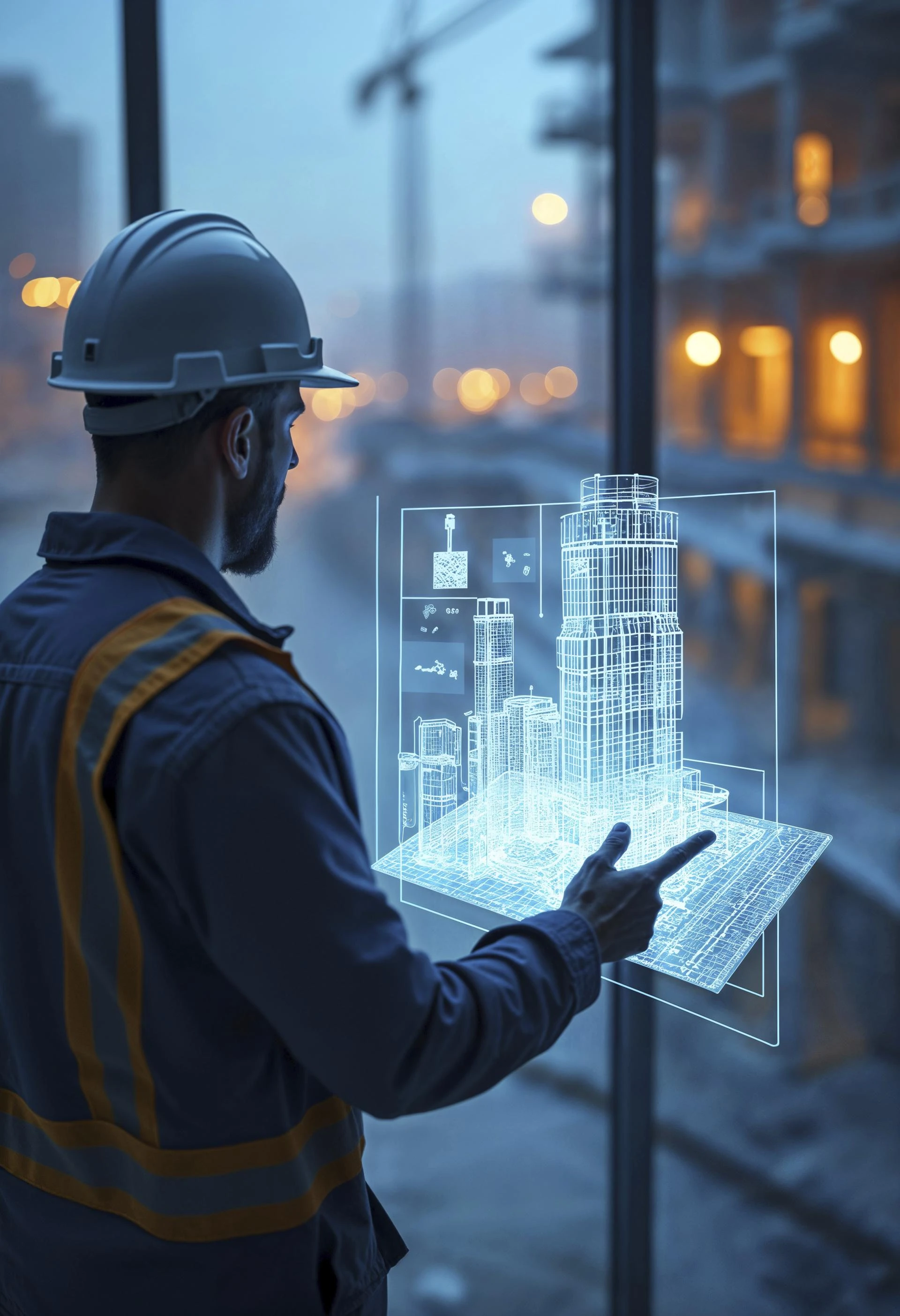
In today’s high-stakes world of infrastructure, real-time visibility isn’t a luxury - it’s essential. Delays, budget overruns, and miscommunication continue to plague even the most meticulously planned construction projects. That’s where automation steps in - fueled by reality capture, BIM modeling, and GIS mapping services.
This trio forms a powerful digital backbone that lets teams monitor progress in real time, validate quality, and make smarter decisions throughout the entire asset lifecycle management journey.
Let’s explore how these technologies work together, and where they’re taking construction in the years ahead.
What Is Reality Capture - And Why It’s Changing the Game
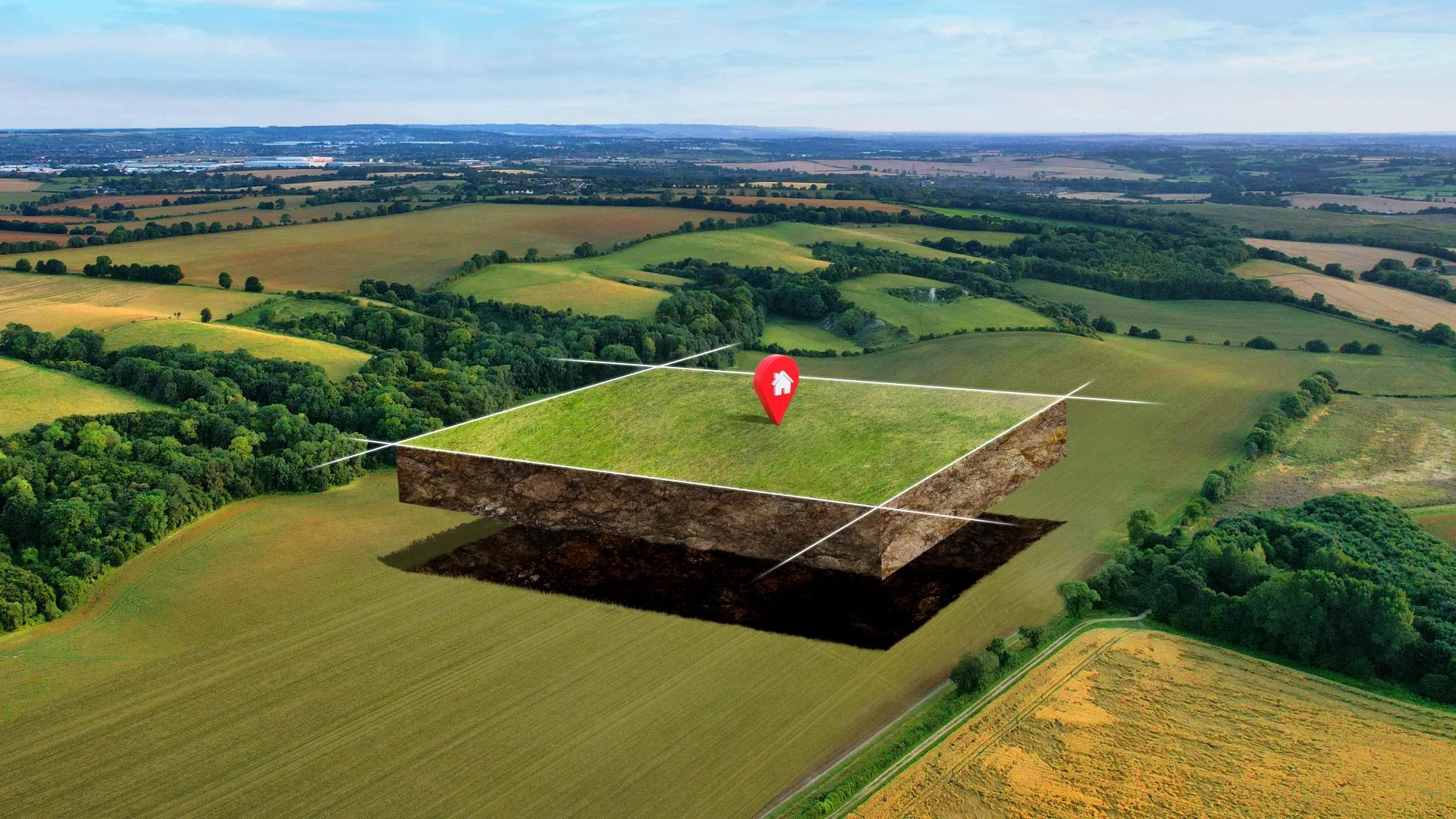
Reality capture is the process of digitally documenting physical environments using tools like drones, LiDAR, and 3D scanners. These tools generate ultra-accurate spatial data - usually as point clouds or textured meshes - that represent the real-world state of your construction site.
Unlike traditional inspection methods that rely on manual walkthroughs or outdated blueprints, reality capture delivers:
· High-resolution site snapshots
· Frequent, automated updates
· Complete visibility without constant physical presence
This makes it easier for project owners, contractors, and consultants to stay aligned - no matter where they are.
How GIS Mapping Services Add Context to Capture
While reality capture shows you what’s there, GIS mapping services show you what it means.
By overlaying captured data on spatial layers (like terrain, zoning regulations, utility lines, or flood zones), GIS helps teams:
· Track construction progress by location
· Detect compliance risks early
· Coordinate better across geographically dispersed teams
In short, GIS mapping services provide the “where” to the “what.” That’s crucial when you’re managing infrastructure that spans cities, counties, or even states.
BIM Modeling: From Intent to Insight
BIM modeling (Building Information Modeling) has transformed how projects are planned and executed. A BIM model is more than a 3D visual - it’s a rich database of construction intent, detailing dimensions, materials, sequences, and systems.
But intent alone isn’t enough.
When you combine BIM modeling with reality capture, you bridge the gap between what was planned and what’s actually being built. And when GIS joins the mix, you can detect misalignments and adjust before they become costly errors.
Here’s how the loop works:
Component Role in Progress Verification
BIM Model Blueprint of what should be built
Reality Capture Visual proof of what has been built
GIS Layers Spatial context and risk analysis
Real Benefits Across the Asset Lifecycle
Automated progress verification is not just about visual tracking - it enhances every phase of asset lifecycle management:
· Design: Understand terrain and environmental constraints early
· Construction: Monitor milestones weekly - without manual effort
· Handover: Capture accurate “as-built” records for smoother commissioning
· Maintenance: Inform long-term planning with precise geospatial data
Every step becomes traceable, timestamped, and transparent - fueling accountability and collaboration.
The Numbers Tell the Story
Adopting reality capture and GIS mapping services isn’t just about innovation - it’s about performance. Industry reports show:
· 30% reduction in project delays
· 25% drop in rework costs
· Dramatic improvement in stakeholder alignment and visibility
When you switch from assumptions to geospatial evidence, you build with confidence.
Magnasoft’s Integrated Geo-BIM Stack
At Magnasoft, we bring all three pillars - BIM modeling, GIS mapping services, and reality capture - into one integrated solution.
Here’s what that looks like on the ground:
· Drone-based aerial surveys: Fast, high-resolution mapping across large areas
· GIS-powered dashboards: Real-time insights for planners and site managers
· Milestone-aligned BIM updates: Verifying completion with laser precision
· Lifecycle-ready outputs: Feeding directly into maintenance and compliance systems
Whether you’re building smart cities, rail networks, or industrial parks - our stack scales with your ambition.
Future Trends: What’s Next for Geo-BIM in Construction?
The construction industry is undergoing rapid digital transformation. Here’s what’s coming next in the world of Geo-BIM and automated progress verification:
1. AI-Augmented Construction Analytics
Machine learning models will soon analyze reality capture data to automatically flag anomalies, safety risks, or quality issues. Think of it as a 24/7 digital inspector working in the background.
2. Mobile GIS and Field Integration
Expect to see tighter integration between GIS platforms and mobile apps used by on-site teams. This will allow field engineers to report progress, view BIM overlays, and annotate changes on the fly.
3. Digital Twin Adoption
More firms are embracing digital twins - virtual replicas of entire assets that continuously update based on real-world data. These twins improve everything from preventive maintenance to carbon tracking.
4. Cloud-Native Collaboration
As construction projects become more global and cross-functional, real-time cloud platforms will become standard - bringing architects, engineers, regulators, and contractors into the same digital workspace.
5. ESG and Compliance Monitoring
Governments and investors are pushing for Environmental, Social, and Governance (ESG) reporting. Geo-BIM tools will play a key role in demonstrating regulatory compliance and sustainability outcomes.
Why It All Matters
Construction is no longer just about brick and mortar - it’s about data and decisions. With the right digital stack, teams can:
· Catch issues before they spiral
· Align better across stakeholders
· Track every bolt and beam through the asset lifecycle
· Improve safety, efficiency, and transparency
And in an industry where timelines and margins are tight, that edge is everything.
Final Word
Automated progress verification isn’t just a new trend - it’s a smarter way to build. By bringing together BIM modeling, GIS mapping services, and reality
capture, construction teams can turn complex projects into data-driven success stories.
The question is no longer whether you should digitize progress. It’s how soon you can start.
Ready to future-proof your projects?
Let Magnasoft show you how Geo-BIM can deliver results that last - from the ground up.


Sign in to leave a comment.