
Subsurface investigation is a critical step in construction, engineering, archaeology, and environmental studies. Among the many tools available, the ground radar survey, often referred to as Ground Penetrating Radar (GPR), is one of the most efficient and non-invasive methods for understanding what lies beneath the surface.
This article provides a comprehensive look at ground radar surveys, their applications, benefits, and what to expect during the process.
What is a Ground Radar Survey?
A ground radar survey uses electromagnetic waves to detect variations in subsurface materials. The equipment sends radar pulses into the ground, and when those waves encounter objects or changes in material, they are reflected back to a receiver. These reflections create a detailed map of underground features without the need for excavation.
Ground radar surveys are widely valued because they combine accuracy with non-destructive testing, making them suitable for projects that require minimal disruption.
How Ground Radar Surveys Work
- Transmission of Radar Pulses
- A transmitter sends electromagnetic signals into the ground.
- Reflection of Signals
- Signals bounce back when they hit buried objects, voids, or changes in soil composition.
- Recording Data
- A receiver collects the reflected signals, creating radargrams (visual data outputs).
- Data Interpretation
- Specialists analyze radargrams to identify subsurface structures, utilities, or anomalies.
Applications of Ground Radar Surveys
Ground radar surveys serve a wide range of industries:
1. Construction and Civil Engineering
- Locating underground utilities before excavation.
- Mapping rebar, post-tension cables, and concrete thickness.
- Verifying foundation conditions.
2. Archaeology and Cultural Heritage
- Identifying ancient structures, walls, and pathways.
- Locating burial sites without disturbing the ground.
- Preserving fragile historical areas.
3. Environmental Studies
- Detecting soil contamination and buried waste.
- Monitoring groundwater levels.
- Assessing land stability.
4. Transportation and Infrastructure
- Assessing roadbed or runway conditions.
- Locating voids beneath highways or railways.
- Evaluating bridge deck integrity.
5. Utility Mapping
- Detecting gas lines, water pipes, and electrical conduits.
- Preventing costly accidents during construction.
- Updating outdated utility maps.
Benefits of a Ground Radar Survey
- Non-Destructive: No digging or drilling is required.
- Accurate: Provides detailed imaging of subsurface conditions.
- Time-Efficient: Surveys can be completed quickly with minimal disruption.
- Cost-Effective: Prevents damage to underground utilities, saving on repair costs.
- Safe: Reduces risks associated with excavation.
- Versatile: Works across soil types, pavement, and concrete structures.
Limitations of Ground Radar Surveys
While highly effective, ground radar surveys have some challenges:
- Soil Conditions: Wet, clay-rich soils can reduce signal clarity.
- Depth Limitations: Survey depth varies depending on antenna frequency.
- Data Interpretation: Requires trained specialists to accurately analyze radargrams.
- Surface Accessibility: Obstructions such as large rocks or heavy vegetation can interfere with surveys
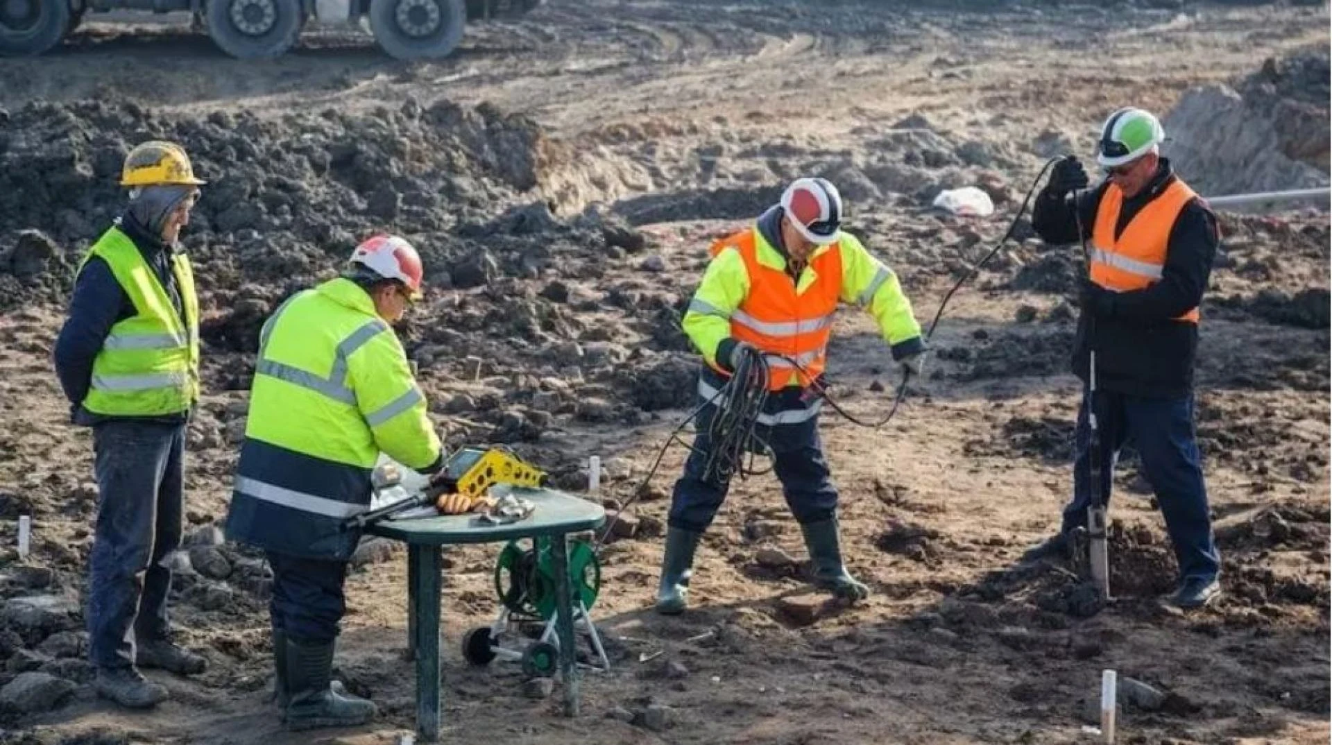
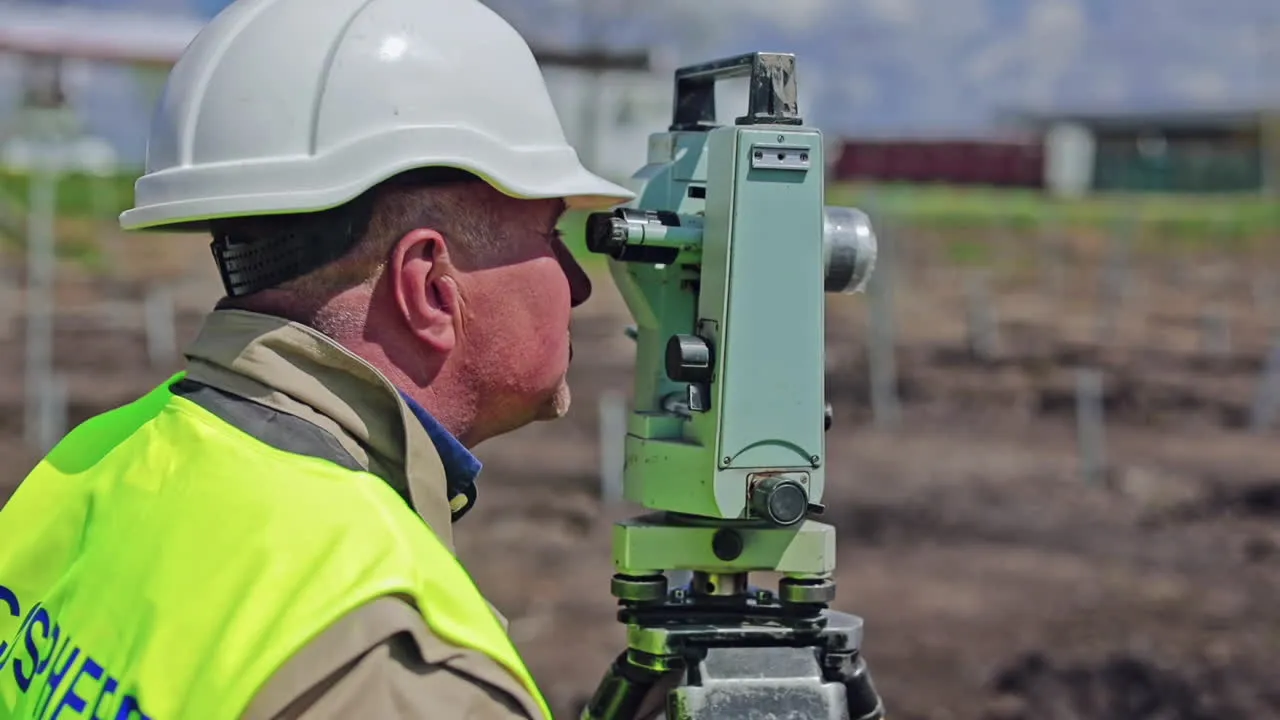
The Process of Conducting a Ground Radar Survey
- Site Evaluation
- Assess the terrain and determine survey objectives.
- Equipment Setup
- Select the correct antenna frequency based on required depth and resolution.
- Data Collection
- Conduct systematic scans of the area, often in grid patterns.
- Data Processing
- Use specialized software to convert reflections into readable radargrams.
- Reporting Results
- Generate maps, cross-sections, and recommendations for clients or project teams.
Choosing Ground Radar Survey Services
When planning a survey, consider:
- Experience of Operators: Skilled professionals improve accuracy.
- Equipment Quality: Modern systems provide higher-resolution results.
- Project Requirements: The survey should align with specific site goals.
- Compliance: Ensure surveys meet local safety and environmental regulations.
Future of Ground Radar Technology
Ground radar surveys are evolving with advancements in:
- 3D Imaging: More detailed reconstructions of underground features.
- Artificial Intelligence: Automated pattern recognition in radargrams.
- Drone Integration: Airborne surveys for large areas.
- Higher-Frequency Antennas: Improved resolution for shallow investigations.
These innovations will continue to expand applications in construction, archaeology, and environmental research.
Final Thoughts
A ground radar survey is a powerful, non-invasive tool that allows professionals to explore and understand subsurface conditions with precision. Whether used for construction safety, archaeological preservation, or environmental studies, this technology provides valuable insights without disturbing the ground.
By combining accuracy, efficiency, and versatility, ground radar surveys are becoming a standard part of responsible planning and investigation across multiple industries.


Sign in to leave a comment.