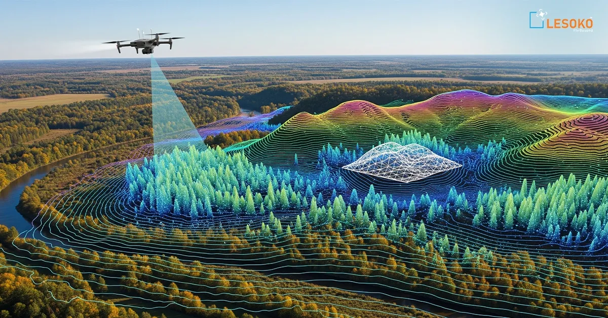

LiDAR (Light Detection and Ranging) mapping is a cutting-edge surveying technology that uses laser pulses to create highly accurate 3D models of terrain, vegetation, and infrastructure. When integrated with advanced drone platforms, LiDAR enables rapid data collection over large, complex, or inaccessible areas while delivering exceptional accuracy. Unlike traditional surveying methods, LiDAR can penetrate vegetation to capture detailed ground elevations, making it ideal for topographical surveys, corridor mapping, construction planning, mining, forestry, utility inspections, flood risk assessment, and infrastructure development. The resulting point cloud data, Digital Elevation Models (DEM), Digital Terrain Models (DTM), and 3D maps provide engineers, planners, and decision-makers with valuable insights for efficient project planning, design, and asset management. Drone-based LiDAR mapping reduces survey time, improves safety, minimizes operational costs, and ensures reliable geospatial intelligence for projects of all sizes.























Sign in to leave a comment.