City planning is an important process that shapes the way our cities grow and function. It includes designing roads, parks, buildings, and public spaces in a way that benefits the people living there. But often, the plans are difficult for regular people to understand. Most city planning documents are filled with technical terms, 2D maps, and long reports. This can confuse the public and lead to misunderstandings or even opposition.
That’s where 3D visualization comes in. It is changing the way city planning is done by making everything easier to see, understand, and support. In this article, we’ll explain how 3D visualization works in urban planning, why it increases transparency, and how it helps everyone — from city officials to residents.
What Is 3D Visualization in City Planning?
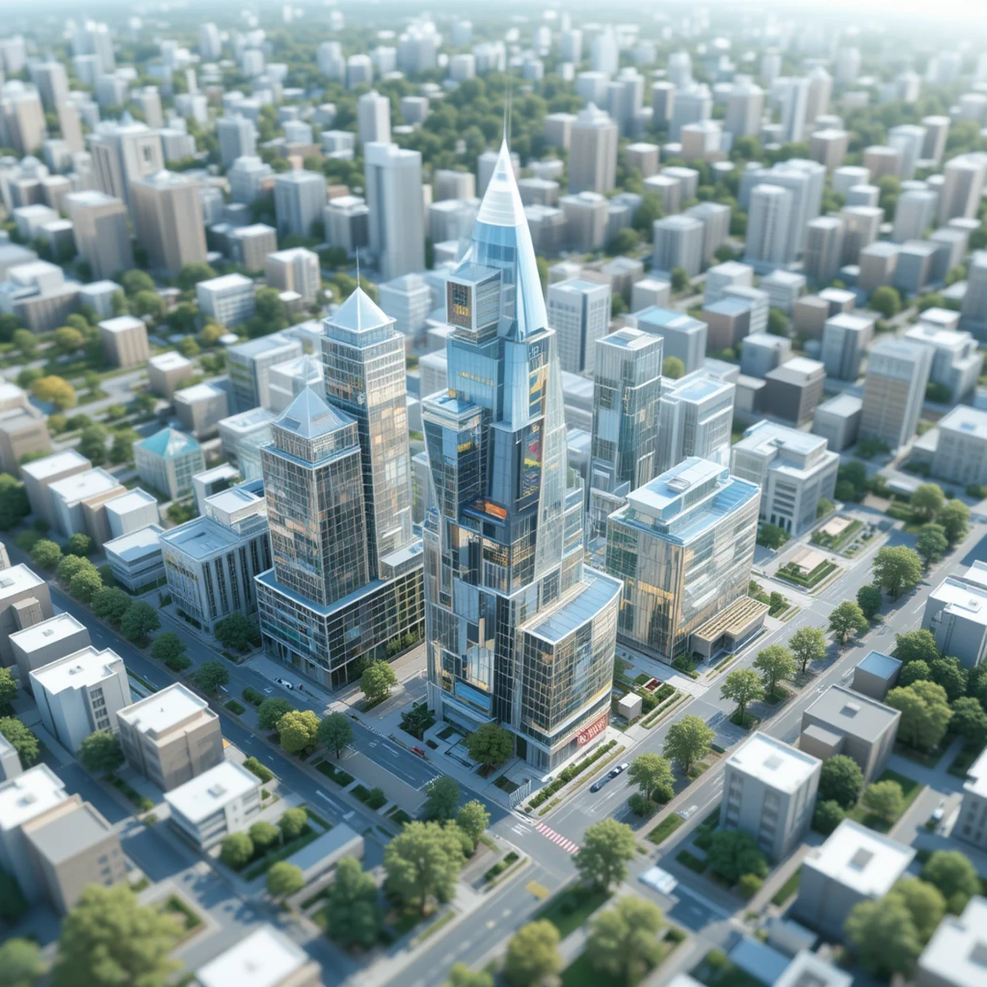
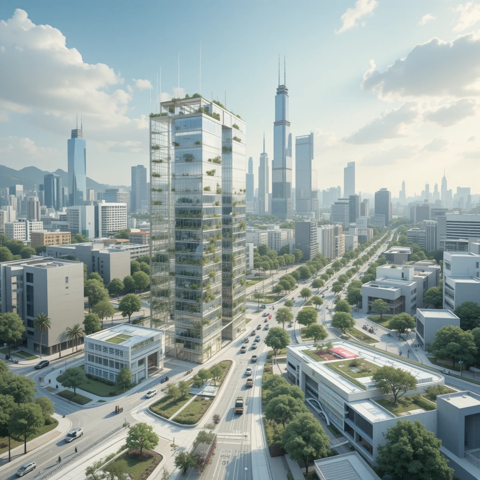
3D visualization means using computer-generated models to create realistic images or animations of future city plans. These digital models show buildings, roads, parks, and other features in three dimensions. It’s like getting a sneak peek at what a new area or neighborhood will look like — before it’s built.
With 3D tools, planners can now build virtual models of whole communities or cities. These models can be explored from different angles. People can “walk” through streets, view buildings from above, or zoom in to see details.
This technology can be as simple as a 3D image or as advanced as an interactive map, VR experience, or a digital twin of the city.
Why Transparency Matters in Urban Planning
Transparency in city planning means making sure that the planning process is open, clear, and easy for everyone to understand. When people are not informed or do not understand a project, they may feel left out or distrust the decisions being made.
Some common issues that come from a lack of transparency include:
- Public opposition due to fear of change
- Delays in projects because of confusion or complaints
- Misinformation spreading in communities
- Lack of trust between residents and city leaders
Using 3D visualization helps solve these problems by showing people exactly what is being planned. When residents can clearly see what a new park or building will look like, it’s easier for them to give helpful feedback and support the project.
How 3D Visualization Improves City Planning
1. Makes Complex Plans Easy to Understand
Many people find traditional 2D maps hard to read. It’s not always clear where buildings will be, how tall they’ll be, or how they’ll affect sunlight, parking, or views. With 3D models, people can see these things visually, just like looking at a real photo.
For example, a new apartment complex can be shown in a 3D image that displays shadows, trees, traffic flow, and how it blends into the existing neighborhood. This gives a full picture that’s easy to understand for everyone — not just architects or city officials.
2. Encourages Community Involvement
When people can clearly see what’s being planned, they are more likely to join public meetings, ask questions, and share ideas. This leads to better discussions between citizens and planners. Some cities even use interactive tools where residents can “click through” a virtual model or leave comments.
This kind of community engagement builds trust and helps the city make better decisions that match what people really want and need.
3. Helps Compare Different Options
City planning often involves choosing between several design options. With 3D visualization, it’s easy to show different scenarios side by side. For example, one model might show a street with bike lanes, while another shows wider sidewalks. Residents and officials can explore the pros and cons visually and make smarter choices.
4. Speeds Up Approvals and Reduces Conflict
When everyone involved can clearly understand the plan, there are fewer misunderstandings. This helps reduce objections, shortens public meetings, and leads to faster approvals. It also avoids delays caused by last-minute changes or community pushback.
Real-World Examples of 3D in Urban Planning
Many cities around the world are already using 3D visualization to improve their planning process.
- Singapore created a full digital 3D model of the city to simulate how future buildings would impact the skyline, traffic, and environment.
- Helsinki, Finland built a city-wide 3D model to help people understand proposed projects and give feedback before anything was approved.
- In the U.S., several cities are using renderings urban design services to create high-quality 3D visuals for community meetings and development proposals.
These real-world examples show that 3D visualization is not just a cool technology — it’s a useful tool that brings people together and builds better cities.
Who Benefits from 3D Visualization?
Urban Planners and Designers
They can explain their ideas more clearly and avoid confusion. It also helps them present projects to city officials and get approvals faster.
City Officials and Governments
3D visuals make it easier to share updates with the public, hold open meetings, and gain support for new developments.
Residents and Community Members
People feel more included when they understand what’s happening. They can ask better questions, share concerns early, and feel more confident about city changes.
Developers and Investors
3D models help them show the full potential of a project. It also reduces resistance from the community by addressing concerns visually.
Tools Used for 3D Visualization
Some of the popular tools used in urban 3D modeling include:
- SketchUp – easy to use for building design
- Lumion – for creating lifelike renderings
- ArcGIS Urban – useful for planning city-scale models
- Unreal Engine – powerful tool for interactive and immersive simulations
These tools help turn 2D blueprints into engaging 3D models that can be shared online or at public events.
Challenges to Keep in Mind
While 3D visualization offers many benefits, there are still some challenges:
- Cost – High-quality models can be expensive to create.
- Time – It may take time to build accurate 3D models, especially for large projects.
- Data Accuracy – The 3D models must be based on correct and up-to-date information to avoid errors.
- Access – Not everyone has internet access or knows how to use digital tools. This can leave some people out unless cities provide support.
Cities and planners should plan ahead to deal with these challenges and make sure the visuals are as helpful as possible for everyone.
The Future of Transparent City Planning
The future of urban planning is becoming more digital and data-driven. As technology improves, we’ll see more:
- Real-time 3D updates linked to city data
- Augmented reality (AR) tools that let people see plans while walking through neighborhoods
- Online dashboards where residents can explore planning projects from home
- AI-powered designs that help planners test different ideas quickly
These changes will make planning even more open, flexible, and people-focused.
Conclusion
3D visualization is changing how cities are planned by making the process easier to understand for everyone. It brings transparency, improves communication, and helps communities get involved in shaping their future.
By using realistic 3D models, city planners can show their ideas clearly, solve problems early, and build trust with the public. Whether you’re a resident, designer, or city leader, 3D visualization can help make better, smarter, and more supported decisions for your city.


Sign in to leave a comment.