The United Arab Emirates is rapidly evolving as a global hub for smart infrastructure, advanced transport, and digital city management. Central to this transformation is accurate, efficient, and detailed spatial data. Mobile mapping in the UAE is playing a pivotal role in enabling this shift, offering reliability and scale that traditional surveying methods struggle to match.
What Is Mobile Mapping?
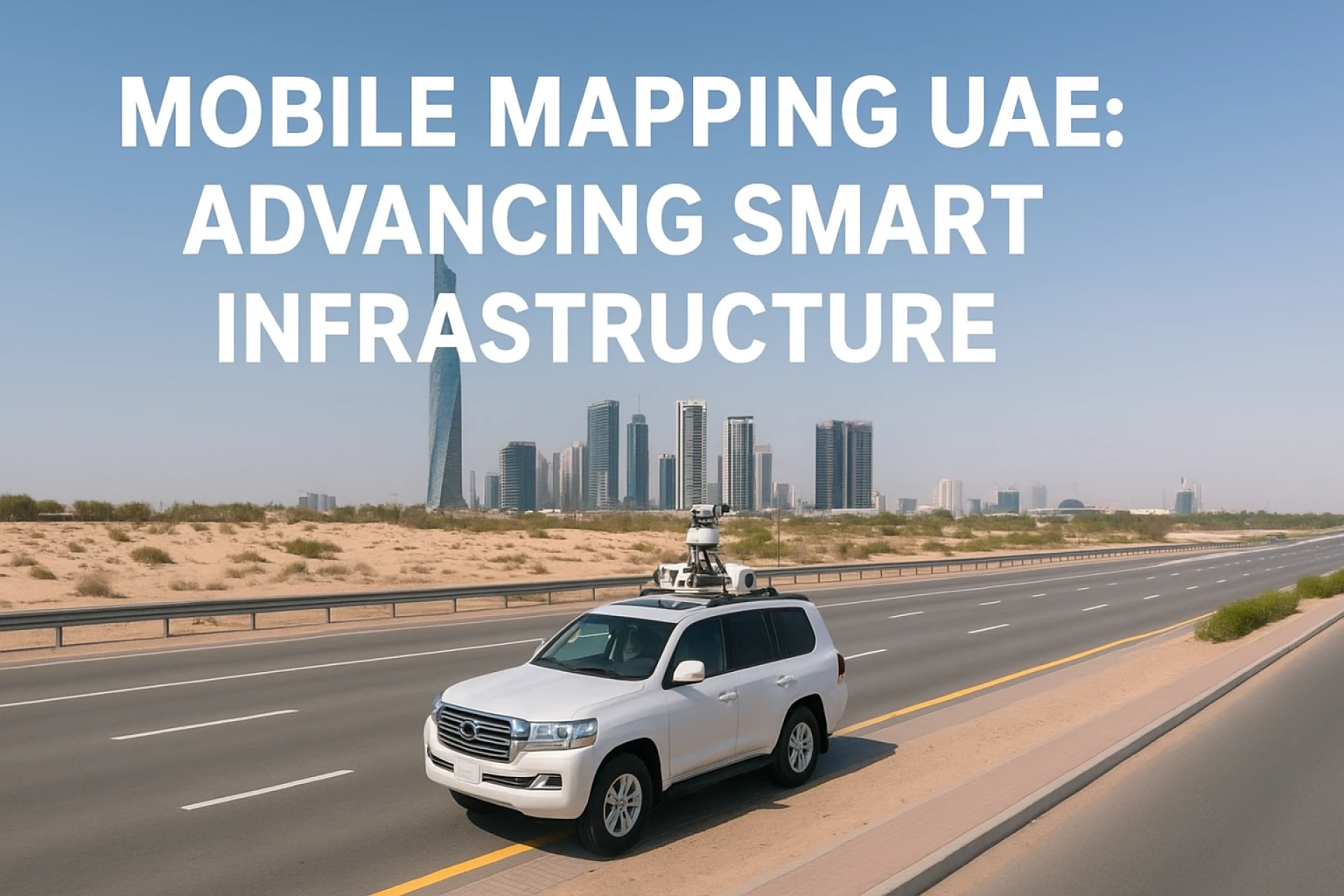
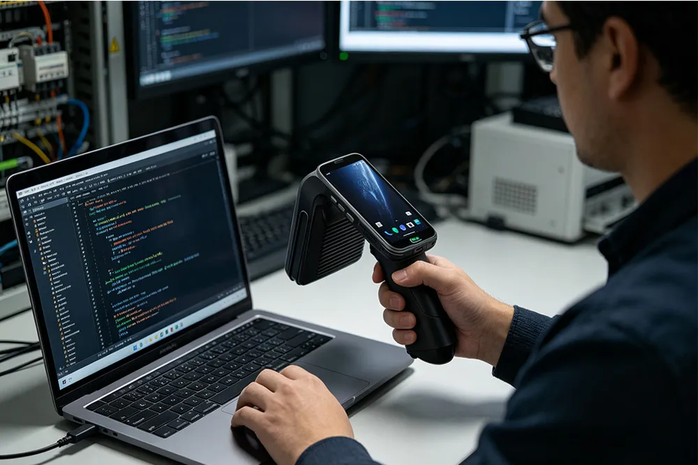
Mobile mapping refers to the collection of geospatial data from moving platforms—vehicles, boats, or drones—equipped with technologies such as LiDAR, high-resolution cameras, GNSS/GPS, and inertial measurement units (IMUs). This setup allows for rapid acquisition of three-dimensional data and imagery across large areas. The outputs include 3D point clouds, high accuracy maps, digital terrain and elevation models, street and asset maps, and detailed datasets for infrastructure, utilities, and urban planning.
The concept differs from static surveying in that mobile mapping provides continuous, dynamic recording of spatial features while in motion, often allowing for coverage of extensive road corridors or urban districts in much shorter time frames.
Recent Developments in the UAE
Several projects and technological adoptions in the UAE illustrate how mobile mapping is becoming integral to urban and transport planning:
- Air Corridor Mapping for Air Taxis and Cargo Drones: The UAE’s civil aviation authority has begun mapping aerial corridors in collaboration with institutions such as the Technology Innovation Institute (TII) and ASPIRE. These corridors are designed to safely accommodate air taxis and cargo drones, with regulations and flight paths expected to be finalized within approximately twenty months. Commercial operations are expected to commence around 2026.
- Introduction of the Lynx Mobile Mapper: Global Scan Technologies (GST) supplied the Lynx Mobile Mapper to Al Ain Municipality for updating the basemap of Al Ain and Abu Dhabi. The device, mounted on vehicles, is capable of generating high-fidelity LiDAR and imagery data while traveling at speeds of 60-80 km/h and covering a corridor width of around 200 meters. The data will feed into creating 3D city models.
- Pavement Management Surveys: UAE completed a 7,000 km road pavement survey in Dubai over ten months, using tools such as LCMS-2 (Laser Crack Measurement System). The results help in long-term planning, infrastructure maintenance, and budget allocation.
- Extreme Environment Testing: The Mosaic Meridian mapping system was demonstrated in UAE conditions with temperatures up to 53°C. This shows the growing demand for mobile mapping systems that can operate reliably under harsh climatic conditions.
Challenges Unique to the UAE Context
Mobile mapping services deployed in the UAE face several location-specific challenges, which service providers and users must navigate:
- Environmental Stressors
- High ambient temperatures (sometimes exceeding 50°C), sand, glare from desert sun, and dust can degrade sensors (camera lenses, LiDAR optics) unless properly ruggedized and maintained.
- GNSS Signal Issues in Dense Urban Areas
- Tall buildings and reflective surfaces create urban canyons; GNSS signals often suffer multipath interference or loss. High-quality IMU/INS, correction systems (RTK, DGNSS), and redundancy help mitigate this.
- Regulatory & Airspace Permissions
- Mapping aerial corridors, or operating drones, requires coordination with civil aviation and regulatory bodies. Permissions, air traffic safety, flight ceilings, privacy rules have to be considered carefully.
- Data Processing, Storage, and Workflows
- Mobile mapping typically produces large volumes of data: point clouds, imagery, LiDAR sweeps. Post-processing must include geo-referencing, filtering noise, aligning datasets, extracting features. Computational infrastructure, trained staff, and efficient workflows become essential.
- Accuracy vs Deployment Speed
- Survey-grade outcomes often mean more careful calibration, slower passes, more detailed quality control. But rapid infrastructure and transport expansion demand fast turnaround. Finding balance is critical.
Strategic Importance for UAE’s Infrastructure & Mobility
Mobile mapping is not just a technical novelty; it is foundational to several of the UAE’s strategic initiatives:
- Urban Planning & Smart Cities: Detailed spatial data enables planning of transportation networks, utilities, land use, zoning, and public services in a smarter way. Digital twins and interactive city models depend heavily on mobile mapping data.
- Advanced Air Mobility (AAM): As aerial mobility (drones, air taxis) develops, mapped air corridors will be necessary to manage air traffic, avoid obstacles, ensure safe flight paths over urban landscapes.
- Infrastructure Maintenance & Asset Management: Roads, pavements, bridges, utilities can be monitored over time. Mobile mapping allows for condition assessments and prioritizing maintenance budgets more efficiently.
- Environmental Monitoring: From coastal erosion to seafloor fault lines, mobile mapping complements other technologies to observe and model environmental changes. For example, seafloor mapping has been used to map fault lines and help in understanding regional seismic activity.
- Data-Driven Decision Making: Policy, construction, regulations, orientation of public works—everything benefits when data is accurate, recent, and detailed. Mobile mapping delivers this scale of data.
Role of Industry Players & Competitive Differentiation
Survey and mapping companies operating in the UAE differentiate themselves by how they handle the key challenges, the technology stack they use, and the reliability of their services:
- Technology robustness: Choosing systems that can endure heat, dust, vibration. Systems like Lynx Mobile Mapper or Mosaic Meridian are examples of hardware tested in extreme environments.
- Broad portfolio: Firms offering mobile mapping alongside aerial/drone mapping, underground utility detection, LiDAR for assets, and digital twin modelling have stronger market positions.
- Local expertise: Knowledge of UAE’s regulatory landscape, climate, city typologies (high rise, desert, coastal) is a major advantage.
- Speed & Quality Guarantees: Ability to meet tight project timelines while delivering accurate results helps secure governmental and private sector contracts.
- Partnerships with Authorities & Cross-sector Collaborations: Public-private collaboration ensures mapping outputs align with urban planning, air traffic safety, transport regulation and environmental policies.
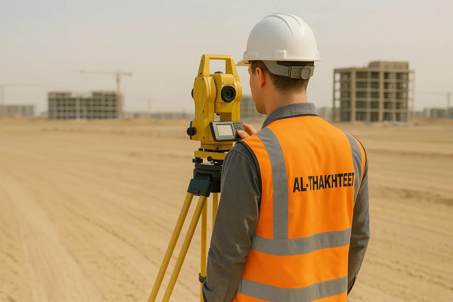
Takhteet Survey
Takhteet Survey is one of the established companies in the UAE surveying industry. Some relevant features of their profile:
- Over 21 years of experience in surveying engineering in the UAE.
- Use of modern tools such as GPS, robotic total stations, aerial scanners, 3D laser scanning, and both terrestrial and aerial methods.
- A broad service portfolio including land surveying, utility surveys, bathymetric/hydrographic surveys, 3D modelling, and underground utility detection.
- Capability & ambition to support major infrastructure projects and smart city initiatives, aligning with national plans. Their mission stresses precision, technological innovation, compliance, and environmental stewardship.
In mapping projects like air corridors or updating basemaps, companies like Takhteet Survey are well positioned to contribute materially, given their technology stack, experience, and local expertise.
Conclusion
Mobile mapping is proving to be a transformative force in the UAE, one that underpins important emerging sectors like aerial mobility, digital twins, and smart infrastructure. While the technical, environmental, and regulatory challenges are not insignificant, recent projects demonstrate that the country is making steady progress toward integrating mobile mapping into the core of its planning and infrastructure systems.
For decision makers—municipal authorities, developers, transport planners—the message is clear: invest in reliable mobile mapping systems, prioritize accuracy and environmental robustness, and collaborate across sectors to harness the full value of spatial data.


Sign in to leave a comment.