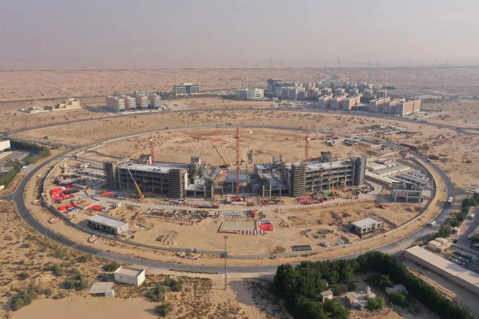
With UAE’s rapid infrastructure growth and skyline changing almost daily, aerial LiDAR surveys in UAE are becoming indispensable for government, construction, and environmental monitoring. Here’s how this technology is evolving in the UAE, the current use-cases, and what companies like Takhteet Survey (your business) should emphasise.
What is Aerial LiDAR Survey?
Aerial LiDAR (Light Detection and Ranging) uses laser pulses from drones or aircraft to map the terrain, buildings, vegetation, and other structures with high accuracy. It generates dense point clouds that enable highly detailed 3D models, digital elevation models (DEMs), and can even reduce reliance on optical imagery in dusty/hazy environments like the UAE.
Current Trends & Updates in UAE
- Drone-LiDAR becoming more common: Companies are deploying unmanned aerial systems (UAS) with LiDAR to map hard-to-reach terrains. Although MESE’s LiDAR drone launched some years ago is an early example.
- Integration with GIS & Smart City Planning: Entities like Mappable have been forming partnerships with Fujairah GIS Center, Emirates Transport, etc., to enhance map accuracy, navigation, and location-based services. LiDAR data is feeding into city models, planning applications, etc.
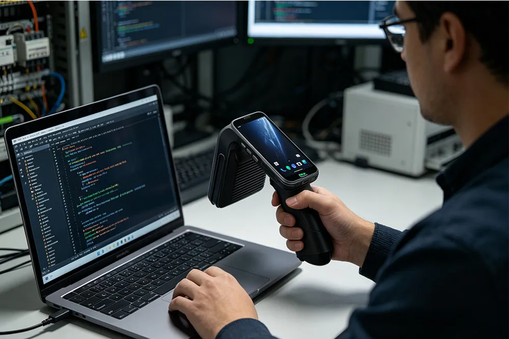
- Cloud processing & AI: To handle the large datasets aerial LiDAR generates, more firms are using cloud-based point cloud processing, AI/ML for feature extraction (e.g., identifying buildings, roads, vegetation), and integrating into BIM (Building Information Modelling).
- Regulatory & Licensing aspects: Flying drones / UAS with LiDAR is regulated in the UAE. Permissions, airspace clearance etc. Understanding local rules (GCAA, civil aviation, municipality rules) is critical.
Use Cases Specific to UAE
- Urban planning & building design: Mapping dense city zones (Dubai, Abu Dhabi) where accurate height, slope, obstruction data matters.
- Heritage preservation: Old areas, cultural sites require highly accurate digital models for restoration.
- Infrastructure & utilities: Roads, bridges, and utilities networks mapped for maintenance and planning.
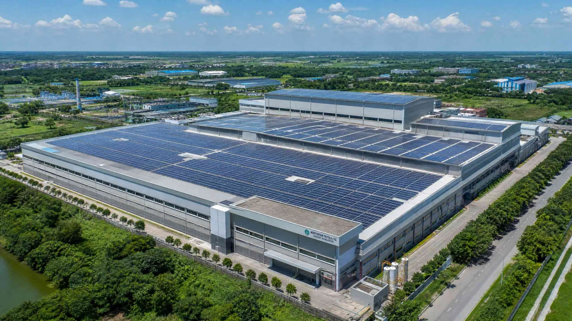
- Environmental monitoring: Coastal erosion, vegetation health, and terrain changes in deserts and coastal zones.
Challenges & How to Overcome Them
- Data Size and Processing Time: Aerial LiDAR creates massive datasets. Need good hardware/infrastructure or cloud.
- Weather & Dust: LiDAR performs less well in strong sand/dust storms. Optimal flight windows needed.
- Cost & ROI: UAV/LiDAR systems are expensive. Clients often compare with photogrammetry or traditional survey. Demonstrating precision, savings, and long-term benefit is key.
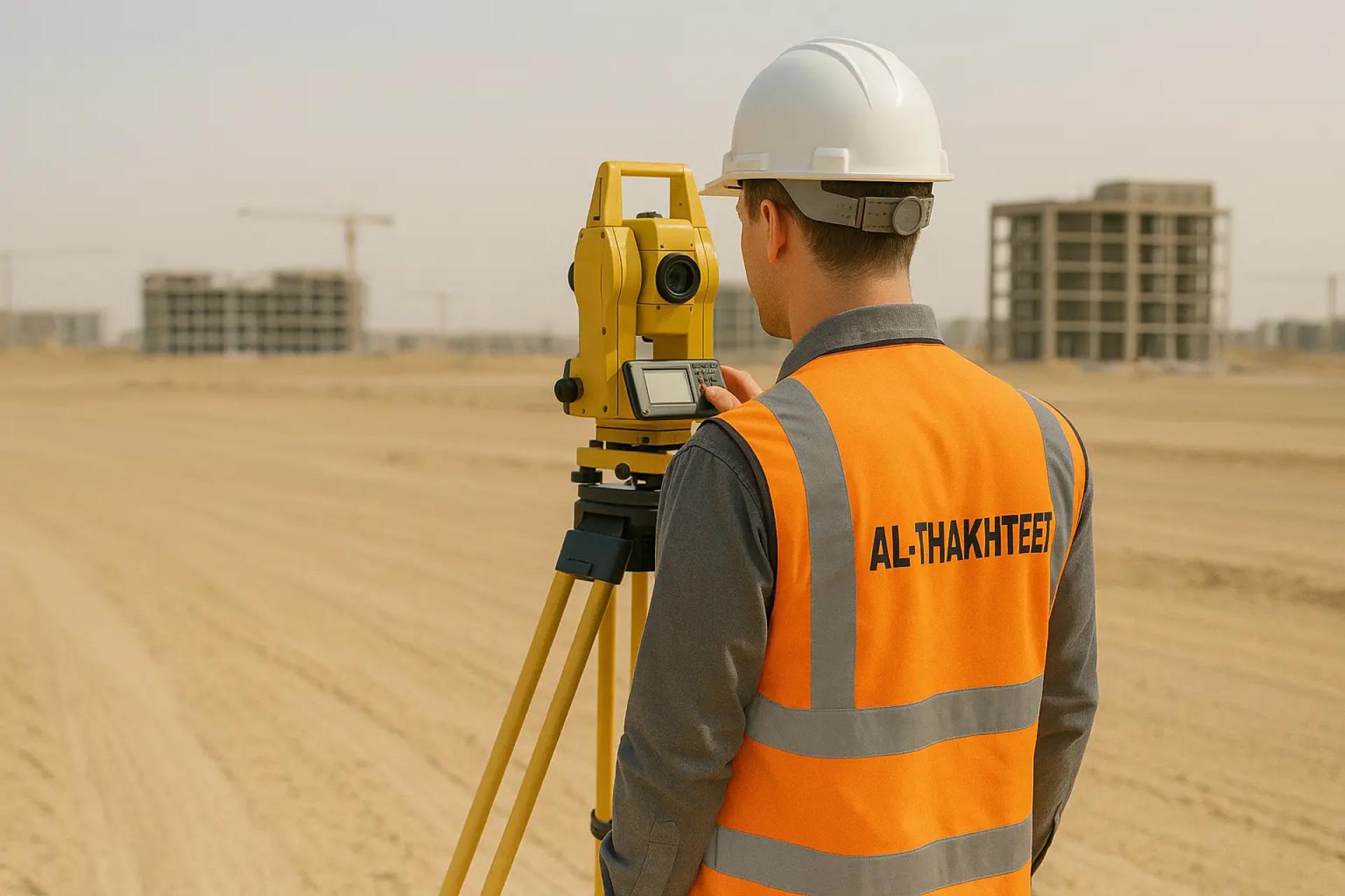
How Takhteet Survey Can Leverage Aerial LiDAR
- Offer combined aerial LiDAR + photogrammetry packages: balancing cost and resolution.
- Emphasise digital twin creation: delivering not just point clouds, but usable, intelligent models for facility management, asset tracking.
- Invest in AI/ML for feature extraction so clients get cleaned, ready data (roads, buildings, terrain).
- Maintain regulatory compliance and promote that as a differentiator.


Sign in to leave a comment.