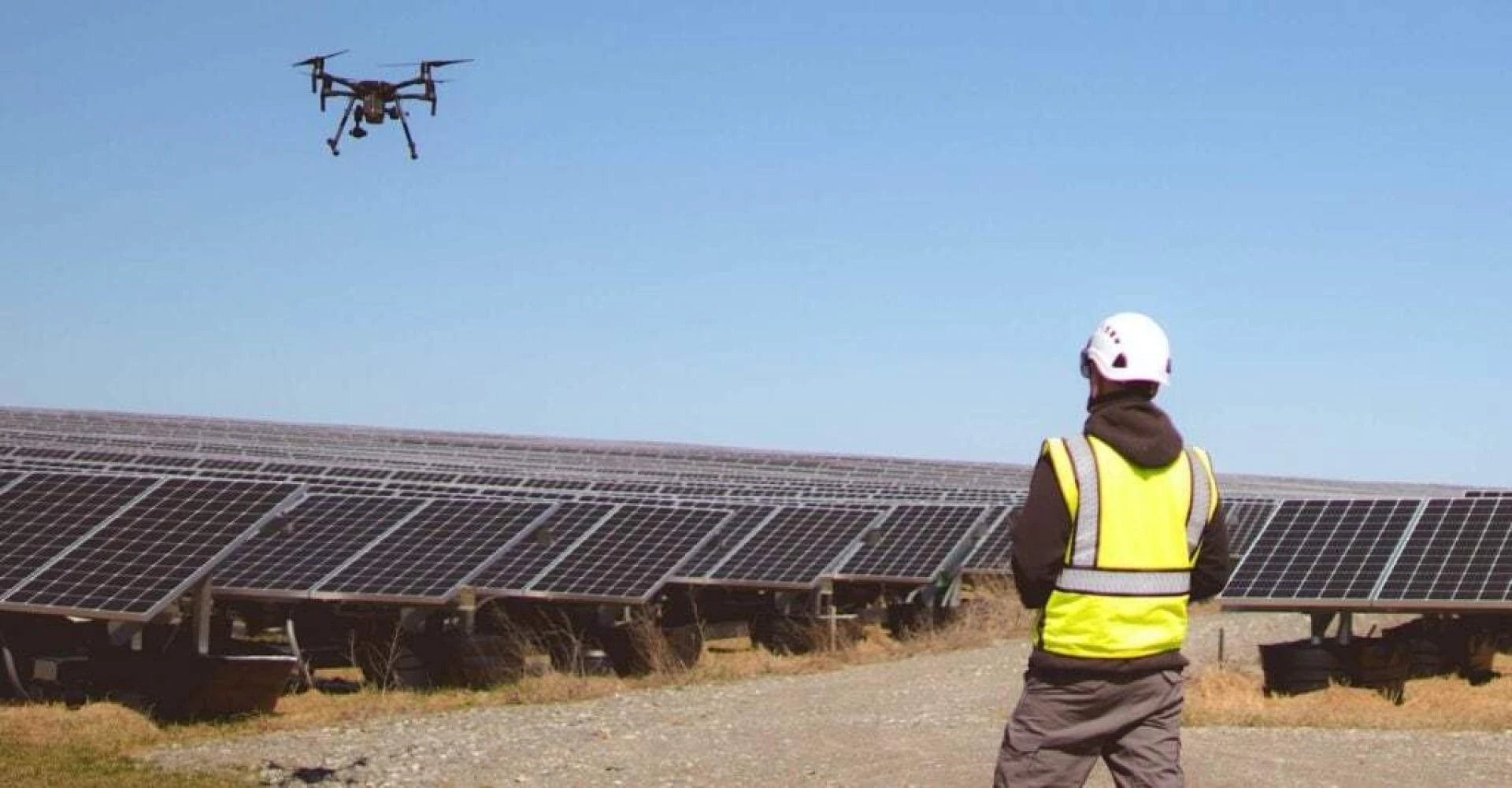
The use of drones has revolutionized the surveying industry, providing a new and innovative way to collect data quickly, accurately, and safely. Drone surveys are rapidly gaining popularity due to their cost-effectiveness, versatility, and ability to access hard-to-reach areas. In this Post, we will explore the rise of drone surveys and how they are transforming the surveying industry.
Traditionally, surveying required teams of professionals equipped with various equipment such as tripods, levels, and measuring tapes. Surveyors had to physically access sites, making it time-consuming and costly. However, with the advent of drone technology, surveying has become faster, safer, and more efficient. Drones are equipped with high-resolution cameras and sensors that can capture detailed and accurate images and data. They can access hard-to-reach areas such as rooftops, towers, and cliffs, making it easier to survey complex structures and terrain.
Cost Effectiveness
One of the main benefits of drone survey is their cost-effectiveness. Traditional surveying methods are expensive, requiring extensive equipment, manpower, and time. Drone surveys are relatively cheaper, as they require only a small team of professionals and a drone. They can cover large areas in a short time, reducing the labor costs associated with traditional surveys.
Accurate
Drone survey are also more accurate than traditional surveys. Drones use GPS technology and can capture detailed images and data, ensuring accurate measurements and mapping. This accuracy is particularly crucial in industries such as construction, mining, and infrastructure management, where precision is critical. Accurate data helps to minimize errors and improve decision-making, leading to better outcomes.
Versatility
Drones also provide more versatility in surveying. They can capture data from multiple angles and heights, giving a more comprehensive view of the site. This versatility is particularly useful in industries such as real estate, where aerial photography is used to showcase properties. Drones can capture stunning images and videos, providing potential buyers with a more immersive and detailed experience.
Increase Safety
Another benefit of drone survey is their ability to increase safety. Traditional surveys often require workers to access dangerous sites such as high-rise buildings, cliffs, and unstable terrain. Drones eliminate the need for workers to access these sites, reducing the risk of accidents and injuries. This increased safety is particularly crucial in industries such as oil and gas, where inspections of offshore platforms can be hazardous.
Capture Data Quickly
Drone survey also provide faster results than traditional surveys. Drones can capture data quickly and transmit it to surveyors in real-time, reducing the time needed to process the data. This speed is particularly useful in industries such as emergency response and disaster management, where time is of the essence.
Conclusion:
Drone surveys are transforming the surveying industry, providing faster, safer, and more cost-effective solutions to traditional surveys. They offer accuracy, versatility, and speed, making them ideal for a range of industries such as construction, mining, real estate, and infrastructure management. With the increasing adoption of drone technology, we can expect to see more innovation in the surveying industry and more efficient and effective ways of collecting and analyzing data.


Sign in to leave a comment.