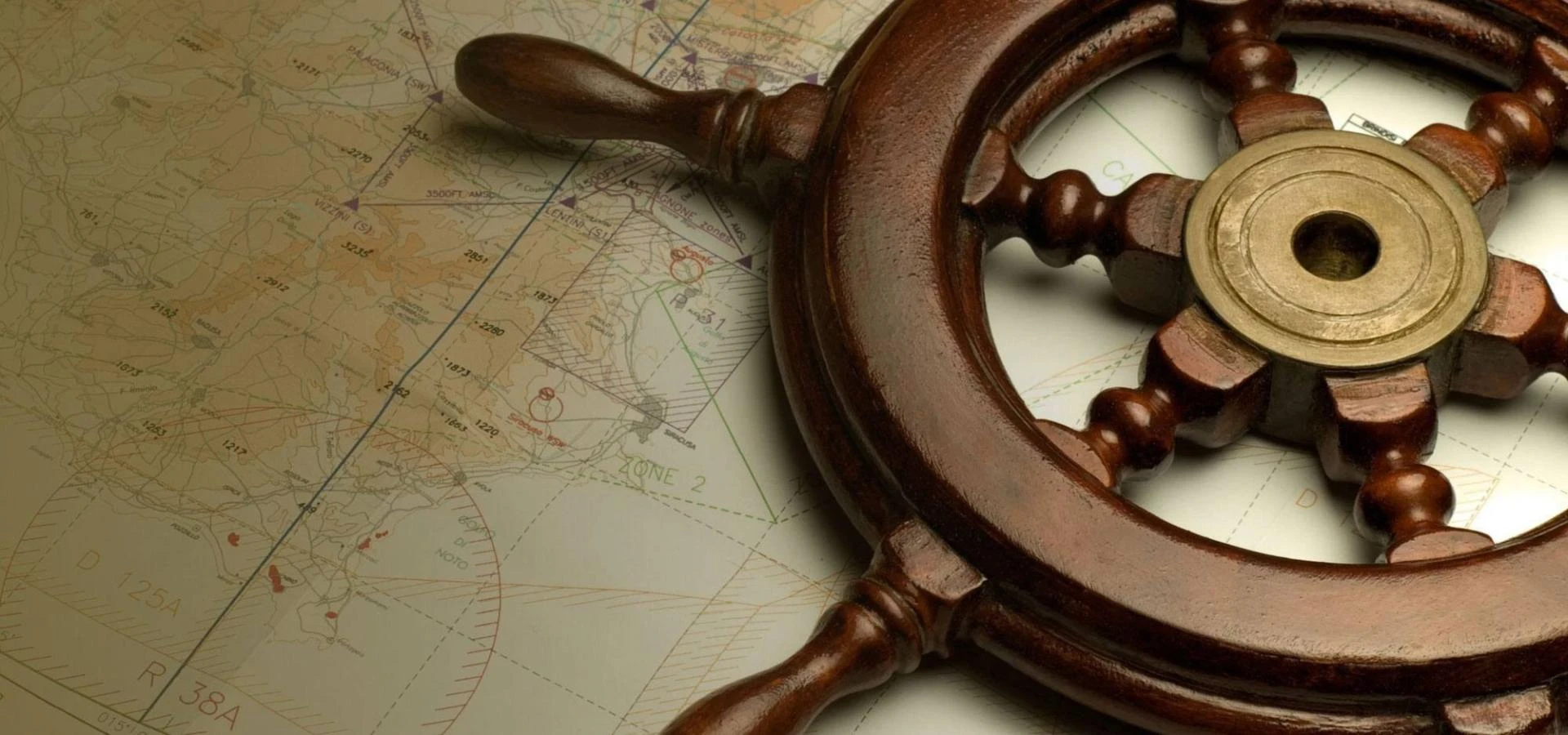
Navigating the world’s waters requires precision, awareness, and reliable tools. Among these, NOAA paper charts remain one of the most trusted and indispensable aids for mariners, sailors, and navigators. Despite advances in digital mapping, paper charts still play a vital role in ensuring safe passage through coastal and open-water routes.
In this guide, we’ll explore what NOAA paper charts are, why they matter, how to read and use them, and where to get official and up-to-date editions.
What Are NOAA Paper Charts?
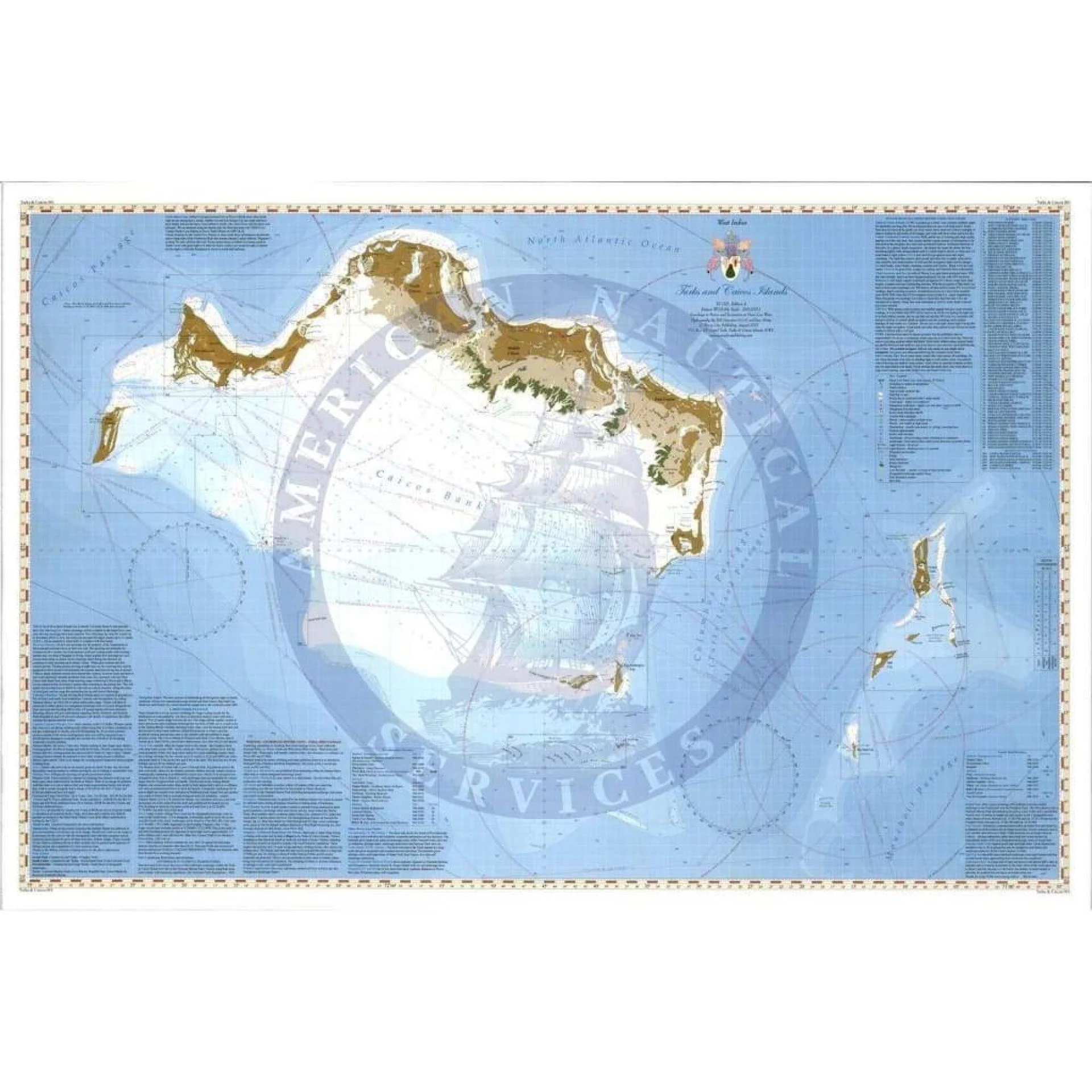
NOAA paper charts are detailed nautical maps produced by the National Oceanic and Atmospheric Administration (NOAA). They provide accurate information on:
- Water depths and seabed contours
- Navigational hazards such as rocks, reefs, and wrecks
- Aids to navigation like buoys, beacons, and lighthouses
- Coastal features, harbors, and anchorage points
- Tidal data and current directions
Each chart is meticulously designed to help mariners make informed decisions at sea. NOAA’s cartographers continuously update these charts based on hydrographic surveys and new data from various maritime sources.
To explore or order official editions, mariners often rely on trusted platforms such as NOAA paper charts, which provide access to the most current versions available.
Why NOAA Paper Charts Are Still Important
Even in the age of GPS and electronic navigation systems, NOAA paper charts hold enduring value. Here’s why they remain essential:
Reliability in Emergencies
When electronics fail or power is lost, paper charts become indispensable. They don’t require batteries or signals—just knowledge and a compass.
Comprehensive Reference
Unlike small digital screens, paper charts show wide areas of the ocean, helping sailors see the “big picture” of their route.
Legal and Safety Requirements
Many maritime authorities still require vessels to carry updated paper charts as a backup navigation method.
Training and Education
Learning to read and interpret NOAA paper charts builds foundational navigation skills every mariner should master.
Accuracy and Detail
NOAA charts use verified hydrographic data, offering high accuracy for depth soundings and navigation markers.
How to Read NOAA Paper Charts
Understanding how to read a paper chart is key to safe navigation.
Step-by-Step Basics
- Identify the Title Block: This area provides chart number, scale, and coverage area.
- Check the Scale: Smaller-scale charts show larger areas with less detail, while large-scale charts show smaller areas in greater detail.
- Review Symbols and Abbreviations: NOAA uses standardized symbols explained in the “Chart No. 1” reference guide.
- Study Soundings and Contours: Numbers show depths in fathoms or feet. Contour lines reveal underwater slopes and valleys.
- Note Magnetic Variation: Always adjust your compass to match the chart’s variation data.
- Locate Navigational Aids: Buoys, lights, and beacons guide your route safely.
Learning these basics ensures confidence and competence when plotting a course.
Choosing the Right NOAA Paper Chart
Selecting the correct chart depends on your intended voyage:
- Coastal Charts: Ideal for nearshore navigation, harbors, and ports.
- General Charts: Useful for planning longer passages along coasts.
- Sailing Charts: Designed for open ocean navigation.
- Harbor Charts: Provide detailed data for docking and maneuvering in tight spaces.
Each chart’s scale and area coverage are clearly marked, helping sailors select the perfect tool for their journey.
How to Obtain Official NOAA Paper Charts
NOAA provides public access to its charts, but for official, printed, and up-to-date versions, mariners rely on authorized chart distributors.
One of the best sources for authentic charts is NOAA paper charts, which offers a complete catalogue of NOAA’s current paper products. Here, users can browse by region, scale, or chart number to find exactly what they need for navigation.
Distributors often provide both printed and digital (PDF) options, ensuring flexibility for modern sailors while maintaining traditional reliability.
Caring for and Storing Paper Charts
Paper charts are valuable tools that deserve proper handling and storage. Here are best practices:
- Keep Them Dry: Use waterproof cases or chart tables with covers.
- Avoid Folding: Roll charts instead of folding to prevent creases.
- Label Clearly: Mark your charts by voyage or region for quick access.
- Update Regularly: Replace outdated charts with new editions to ensure accuracy.
- Protect from Sunlight: UV rays can fade ink and reduce readability.
With proper care, NOAA paper charts can last for years and remain a dependable part of any navigator’s toolkit.
Integrating Paper and Electronic Navigation
Modern mariners often use both electronic and paper charts together. This hybrid approach offers the best of both worlds:
- Digital tools for quick plotting and GPS accuracy.
- Paper charts for cross-checking routes and backup reference.
To maximize safety:
- Always verify electronic data against a paper chart.
- Keep your paper chart updated to match any route changes.
- Use paper charts for teaching and training navigation fundamentals.
This integrated method ensures redundancy and reliability under all conditions.
The Future of NOAA Paper Charts
While NOAA continues to expand its digital chart offerings, paper versions remain an integral part of maritime safety. The organization ensures that paper charts reflect the same updated data as their digital counterparts, so mariners never have to choose between tradition and technology.
NOAA’s commitment to accuracy, reliability, and accessibility guarantees that these charts will continue to guide vessels safely for generations.
Frequently Asked Questions
What are NOAA paper charts used for?
They are used for safe marine navigation, showing depths, hazards, and landmarks essential for plotting routes and avoiding dangers.
How often are NOAA paper charts updated?
NOAA updates charts regularly as new hydrographic and navigational data become available. Mariners should always use the latest edition.
Can I still buy printed NOAA charts?
Yes. Official printed editions are available from authorized distributors, including online catalogues of NOAA paper charts.
Are paper charts more accurate than electronic charts?
Both are accurate, as they use the same NOAA data. However, paper charts provide a wider overview and serve as reliable backups.
Do I need paper charts if I use GPS?
Yes. Paper charts are essential backups in case of GPS failure, power loss, or system errors.
How do I know which chart number I need?
Check your intended sailing area and consult the NOAA chart catalogue to select the right scale and region for your voyage.


Sign in to leave a comment.