Business
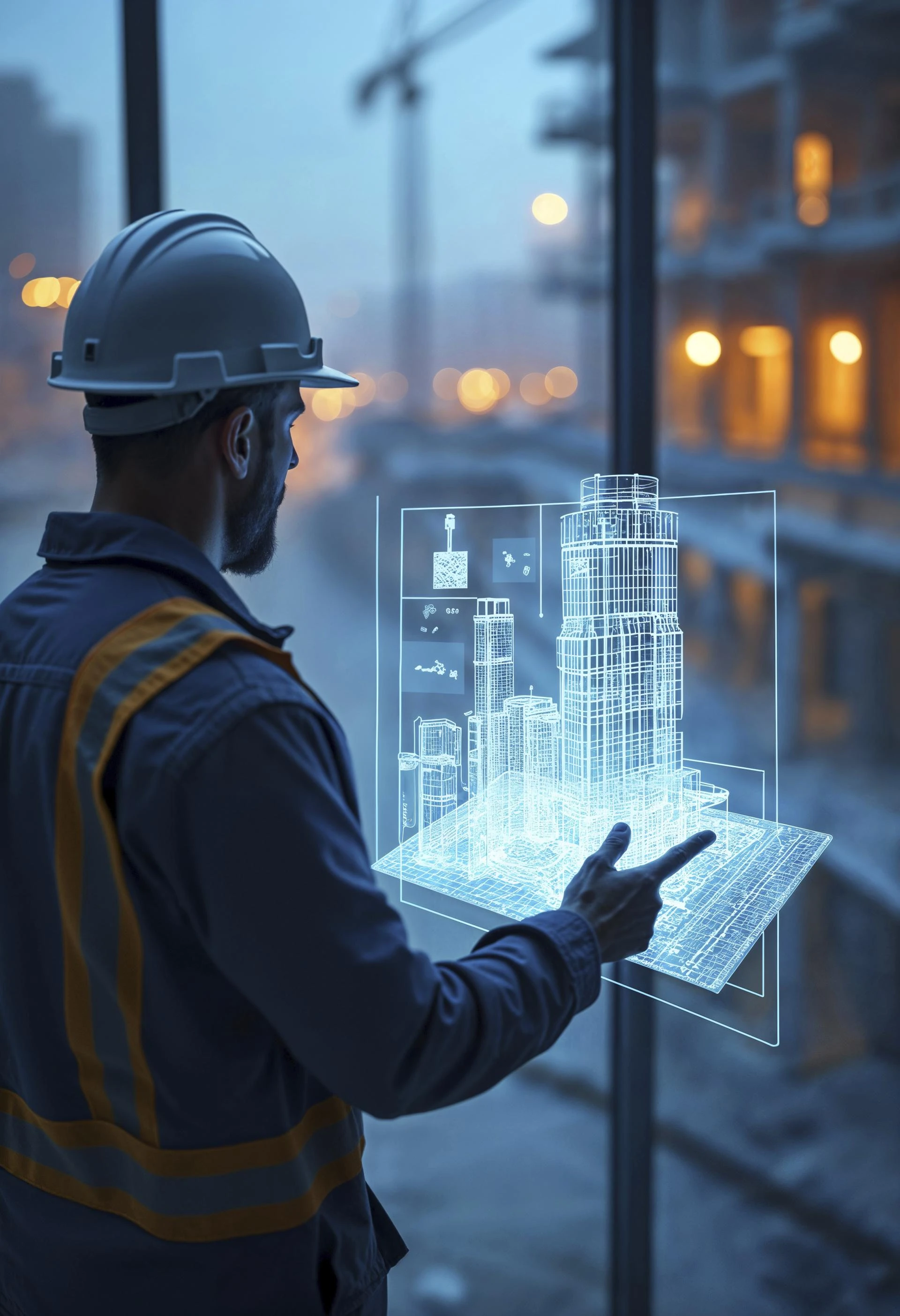
Automated Progress Verification in Construction Using Reality Capture and GIS
Why Construction Needs Real-Time Eyes on the GroundIn today’s high-stakes world of infrastructure, real-time visibility isn’t a luxury - it’s es
Technology
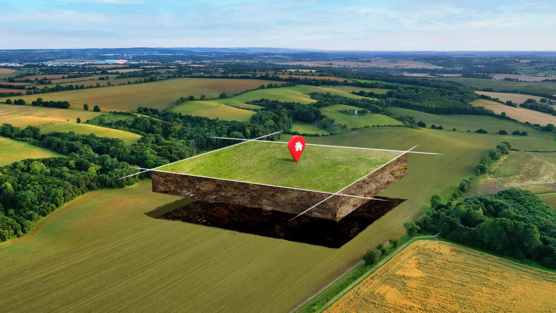
Aerial Mapping and Remote Sensing: Transforming Agriculture and Natural Resource Management
Discover how aerial mapping and remote sensing are revolutionizing agriculture and natural resource management with data-driven insights, precision farming, and…