
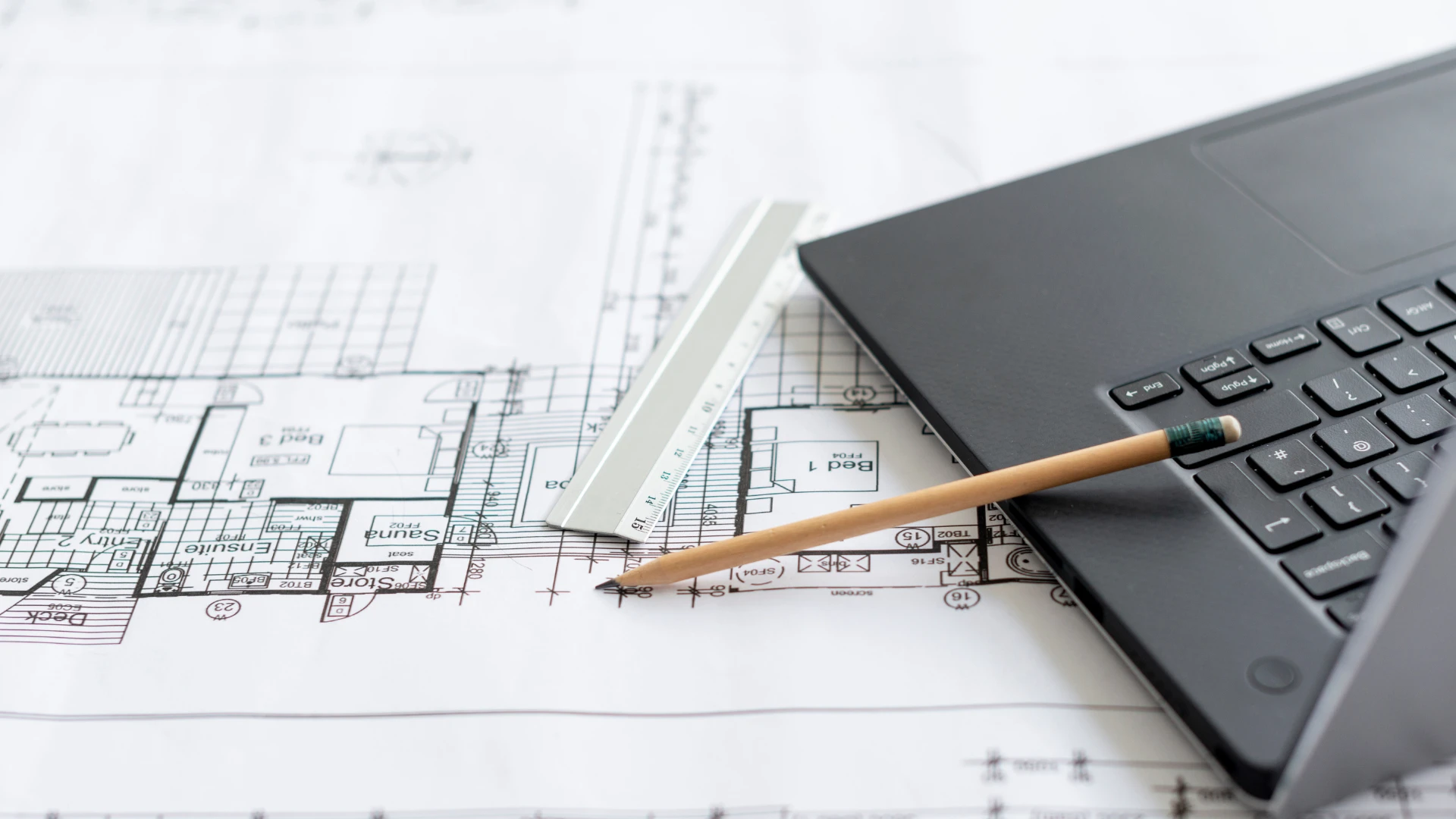
In the realm of modern construction, where ambitious infrastructure projects and towering high-rises define urban landscapes, precision and coordination stand as paramount. Autodesk Navisworks emerges as a pivotal tool that bridges the gap between design intent and real-world execution. Professionals in architecture, engineering, and construction rely on this software to aggregate diverse models, ensuring that every element aligns seamlessly from the outset.
Complex projects often involve multiple disciplines, from structural engineering to mechanical systems, each contributing unique data sets. Autodesk Navisworks facilitates the integration of these inputs, allowing teams to visualize potential conflicts before they escalate into costly issues on site. This capability not only streamlines workflows but also enhances overall project safety and efficiency, adapting to the demands of large-scale developments that push the boundaries of innovation.
As cities expand and infrastructure needs grow, the role of sophisticated review tools becomes indispensable. Autodesk Navisworks supports detailed analysis, including time-based simulations that forecast construction sequences. Such features empower stakeholders to make informed decisions, mitigating risks associated with intricate builds and fostering sustainable practices that align with contemporary environmental standards.
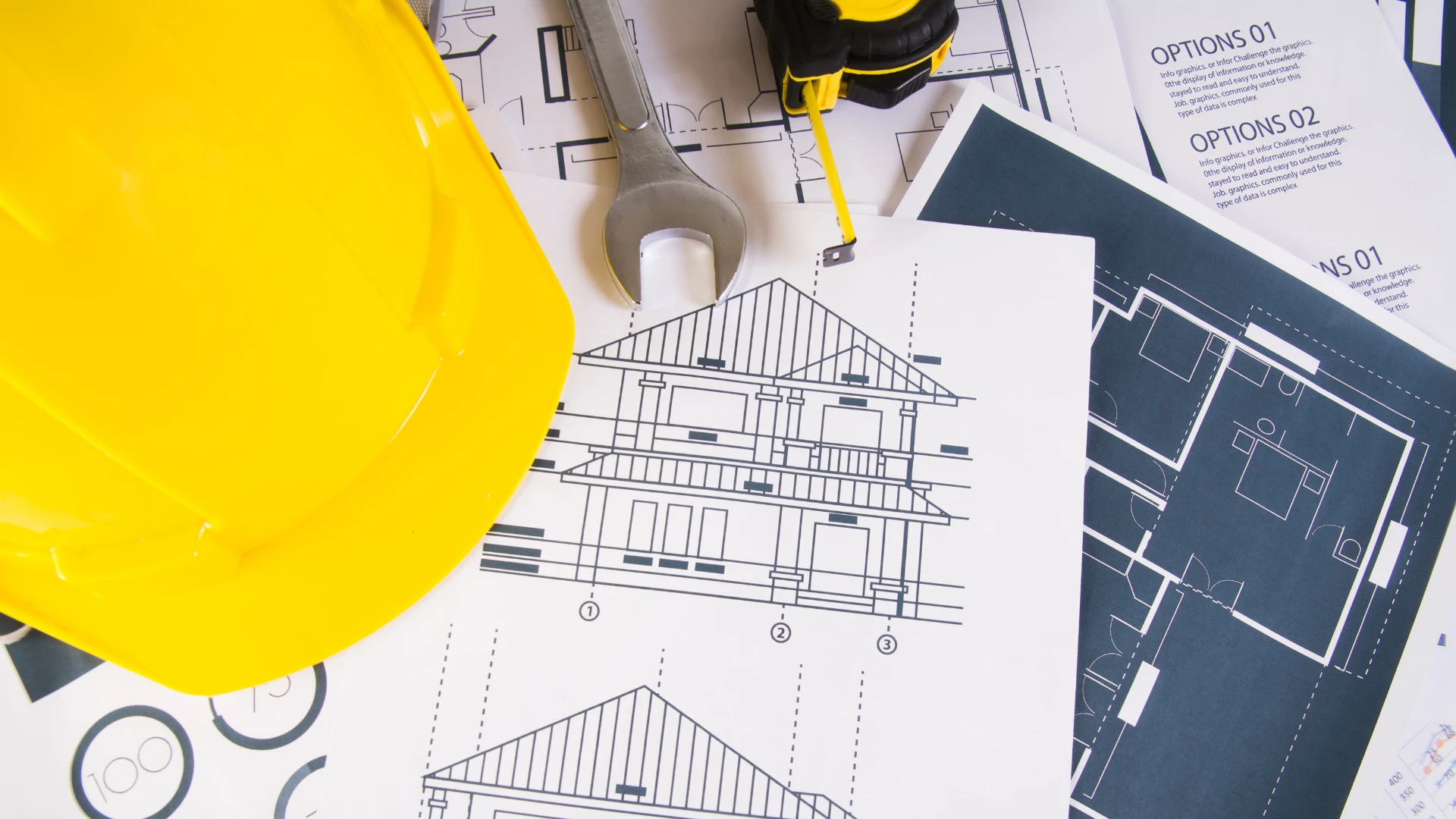
Essential Features of Autodesk Navisworks
Autodesk Navisworks offers a suite of robust tools tailored for demanding environments like high-rise constructions and infrastructure initiatives.
Clash Detection Mastery
One standout aspect involves clash detection, where the software identifies interferences between building components early in the process. For instance, in a high-rise project, structural beams might overlap with HVAC ducts, leading to potential rework. Autodesk Navisworks scans federated models from various sources, highlighting these issues with precision. This proactive approach saves significant time and resources, as teams resolve conflicts virtually rather than during physical construction.
4D and 5D Simulation Capabilities
Beyond static reviews, Autodesk Navisworks incorporates 4D simulations that link model elements to project timelines. Users can animate construction phases, visualizing how a bridge or skyscraper evolves over time. This temporal dimension aids in logistics planning, such as sequencing crane operations in tight urban spaces. Extending to 5D, the software integrates cost data, providing a comprehensive view that helps control budgets in volatile market conditions.
Model Aggregation Excellence
Federating models from disparate software like Revit or Civil 3D forms another core strength. Autodesk Navisworks acts as a central hub, supporting numerous file formats to create a unified project view. In infrastructure contexts, this means combining geospatial data with BIM elements for accurate representations of roads, tunnels, or rail systems. The result fosters better communication among teams, reducing misunderstandings that could derail progress.
Applications in High-Rise Developments
High-rise buildings present unique challenges, from wind loads to vertical transportation systems, and Autodesk Navisworks addresses them effectively.
Coordinating Vertical Complexity
In skyscraper design, vertical coordination demands meticulous attention. Autodesk Navisworks enables the review of stacked floors, ensuring alignments in plumbing, electrical, and fire safety systems. Teams can conduct walkthroughs in a virtual environment, spotting accessibility issues or material conflicts that might compromise structural integrity. This level of detail proves crucial in densely populated areas where space constraints amplify every decision.
Enhancing Safety Protocols
Safety remains a top priority in high-rise settings, and the software's simulation tools contribute by modeling emergency scenarios. For example, evacuation paths can be tested against construction timelines, identifying bottlenecks before they pose real threats. Autodesk Navisworks also supports compliance with building codes, integrating regulatory checks into the review process for smoother approvals.
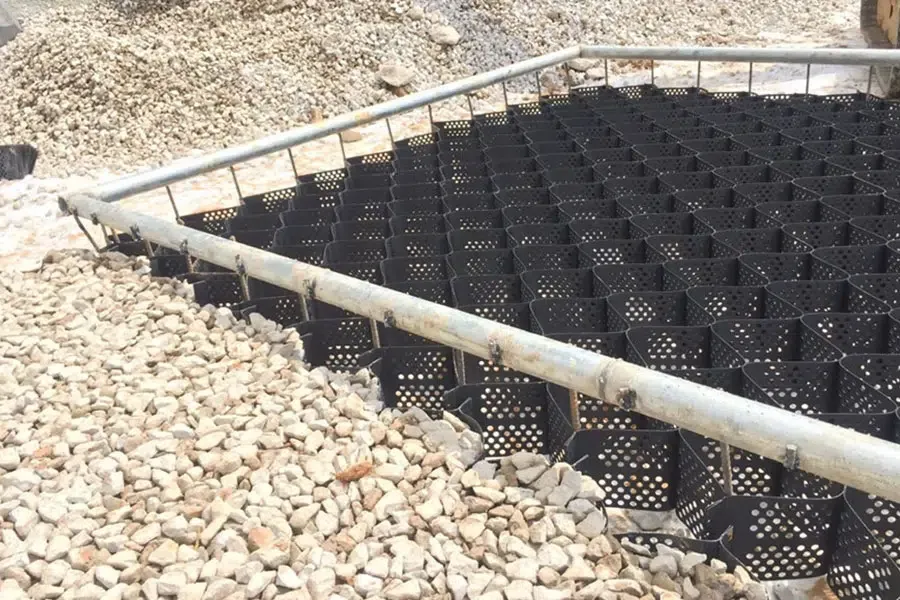
Role in Complex Infrastructure Projects
Infrastructure endeavors, such as bridges, airports, and rail networks, benefit immensely from the integrative power of Autodesk Navisworks.
Streamlining Large-Scale Coordination
Projects like high-speed rail lines involve extensive collaboration across geographies. Autodesk Navisworks aggregates models from civil engineers, allowing for clash-free designs that account for terrain variations and utility integrations. Case studies from airport maintenance, such as those at major hubs, demonstrate how 4D planning visualizes runway availability, minimizing disruptions to operations.
Optimizing Resource Allocation
In tunnel or bridge constructions, resource management becomes critical. The software's quantification tools extract material volumes and timelines, aiding in precise procurement. Autodesk Navisworks facilitates scenario testing, where alternative construction methods are evaluated for efficiency, leading to reduced environmental impact and faster completion rates.
Fostering Sustainable Practices
Sustainability integrates naturally through data-driven insights. Autodesk Navisworks helps assess energy performance in infrastructure designs, promoting green materials and methods. For instance, in urban redevelopment, it ensures that new developments harmonize with existing systems, supporting long-term resilience against climate challenges.
Key Conclusion and Analysis
The adoption of Autodesk Navisworks in complex infrastructure and high-rise developments marks a significant advancement in the construction sector. This software not only resolves immediate coordination hurdles but also paves the way for future innovations by enabling data-rich environments that inform every project phase. Professionals who leverage its capabilities find themselves better equipped to handle the intricacies of modern builds, from initial concepts to final handover.
As urban demands evolve, tools like Autodesk Navisworks will continue to play a central role, driving efficiency, safety, and sustainability across the industry. Ultimately, its impact extends beyond individual projects, contributing to the creation of enduring structures that shape societies for generations.


Sign in to leave a comment.