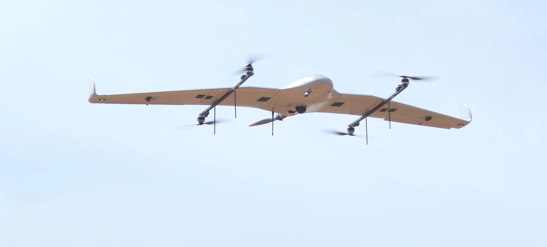
Drones have rapidly become more than just flying machines for capturing stunning aerial views. Today, they are intelligent tools that support industries in surveying, inspection, security, and logistics. At the heart of this transformation lies drone automation software, a technological advancement that makes drones smarter, more reliable, and highly efficient. By automating flight paths, data collection, and processing, businesses are unlocking new levels of productivity and accuracy.
At the same time, drones mapping has emerged as one of the most impactful applications. From construction sites to farmlands, drones equipped with automation software are creating detailed maps, 3D models, and spatial datasets that were once expensive and time-consuming to generate. It’s no surprise that industries are making significant investments in these solutions.

What is Drone Automation Software?
Drone automation software refers to programs that enable drones to operate with minimal human intervention. Instead of manually piloting a drone, operators can pre-program flight paths, set data collection goals, and automate post-processing workflows. These systems integrate with sensors, cameras, and cloud platforms to deliver precise outputs in real-time.
This type of automation ensures consistency, reduces human error, and frees up professionals to focus on analyzing data rather than managing drone operations. When paired with advanced mapping features, drones become powerful instruments for large-scale industrial applications.
Why Industries Are Turning to Drone Automation
1. Enhanced Efficiency and Productivity
Manual drone operations demand skilled pilots and significant time. With drone automation software, industries can plan repeatable missions that run autonomously. Whether it’s surveying a construction site daily or monitoring crop growth weekly, automation allows consistent data collection without added effort. This significantly boosts productivity while reducing labor costs.
2. Precision in Drones Mapping
Accuracy is non-negotiable in industries like construction, mining, and agriculture. With automated flight planning, drones maintain consistent altitude, overlap, and speed, ensuring precise data capture. The processed output from drones mapping includes high-resolution orthomosaic maps, elevation models, and 3D reconstructions. These detailed insights enable better planning and decision-making.
3. Cost Savings at Scale
Investing in automation helps businesses cut down on long-term expenses. Traditional land surveys and inspections involve large teams, heavy equipment, and days of work. By adopting drone automation software, organizations can achieve the same results faster and at a fraction of the cost. The scalability of drones means industries can cover vast areas without escalating expenses.
4. Improved Safety
Many industries operate in environments where human safety is at risk. For example, inspecting oil rigs, mining sites, or disaster-affected regions exposes workers to hazardous conditions. Automated drones reduce this risk by conducting these tasks remotely. In the case of drones mapping, they can generate accurate site maps without requiring personnel to enter dangerous zones.
5. Seamless Data Integration
Modern drone automation software integrates with Geographic Information Systems (GIS), Building Information Modeling (BIM), and cloud-based collaboration tools. This allows data from drones to merge seamlessly with existing workflows. For industries managing large projects, this interoperability ensures efficient planning, reporting, and execution.
6. Real-Time Insights and Monitoring
With automation, drones can stream live data to cloud platforms for instant analysis. Whether it’s monitoring construction progress or identifying crop stress in agriculture, real-time data empowers stakeholders to act quickly. The combination of automation and drones mapping ensures stakeholders receive actionable insights without waiting for manual data processing.
7. Sustainability and Environmental Monitoring
Industries are also investing in drone technology to support sustainability goals. Automated drones can monitor forests, track wildlife, and assess environmental changes with minimal ecological disturbance. In agriculture, drones mapping supports precision farming, reducing water usage and chemical inputs while maximizing yields.
Key Industries Benefiting from Drone Automation Software
Construction and Infrastructure
Surveying, progress tracking, and site inspections are streamlined using automated drones. With drones mapping, construction firms create detailed maps and 3D models to monitor timelines and ensure accuracy. Automation makes these tasks repeatable and efficient.
Agriculture
Farmers are increasingly using drone automation software to monitor crop health, irrigation systems, and soil conditions. Automated mapping missions generate NDVI (Normalized Difference Vegetation Index) maps that highlight plant health, helping farmers make informed decisions to improve productivity.
Mining and Energy
Mining companies benefit from automated drones for stockpile measurement, terrain mapping, and safety inspections. In the energy sector, drones inspect power lines, wind turbines, and solar farms. Automation ensures consistency while keeping workers safe from hazardous environments.
Logistics and Warehousing
Automated drones are beginning to play roles in inventory tracking and site monitoring within warehouses and logistics hubs. They provide real-time data that supports faster and more accurate operations.
Public Safety and Security
Using a drone for security, automated flight paths can be programmed to patrol large areas, monitor events, or respond to emergencies. Security teams benefit from continuous surveillance without the need for manual drone piloting.
Environmental Conservation
Conservation groups rely on drones mapping for tracking deforestation, monitoring endangered species, and assessing natural disasters. Automation ensures consistent monitoring over time, which is crucial for long-term environmental studies.
Future Outlook of Drone Automation
The future of drone automation software looks promising, driven by advancements in artificial intelligence, machine learning, and 5G connectivity. AI-powered automation will allow drones to detect anomalies, adapt to changing conditions, and make real-time decisions without human input.
In mapping, drones will produce increasingly detailed outputs, integrating thermal imaging, LiDAR, and multi-spectral data. This will expand applications across smart cities, renewable energy, and disaster management. As automation becomes more sophisticated, industries will continue to invest heavily in drone technology.

Challenges to Overcome
Despite its advantages, drone automation still faces challenges. Regulatory frameworks vary across regions, and industries must comply with airspace and data privacy laws. Additionally, companies need skilled operators to set up and manage automated systems effectively. Cybersecurity also remains a concern as drones collect and transmit sensitive information. However, as technology evolves and regulations adapt, these challenges are expected to lessen.
Conclusion
The growing investments in drone automation software reflect its immense value in enhancing efficiency, accuracy, and safety across industries. From construction and agriculture to energy and public safety, the benefits of automation are clear. Combined with the capabilities of drones mapping, these innovations are transforming how organizations approach data collection, analysis, and decision-making.
For businesses seeking to harness these advancements, partnering with an industry leader is essential. Asteria Aerospace stands at the forefront of drone innovation, offering advanced automation and mapping solutions tailored to diverse industrial needs. With their expertise, organizations can unlock the full potential of drones, driving smarter, safer, and more sustainable operations.


Sign in to leave a comment.