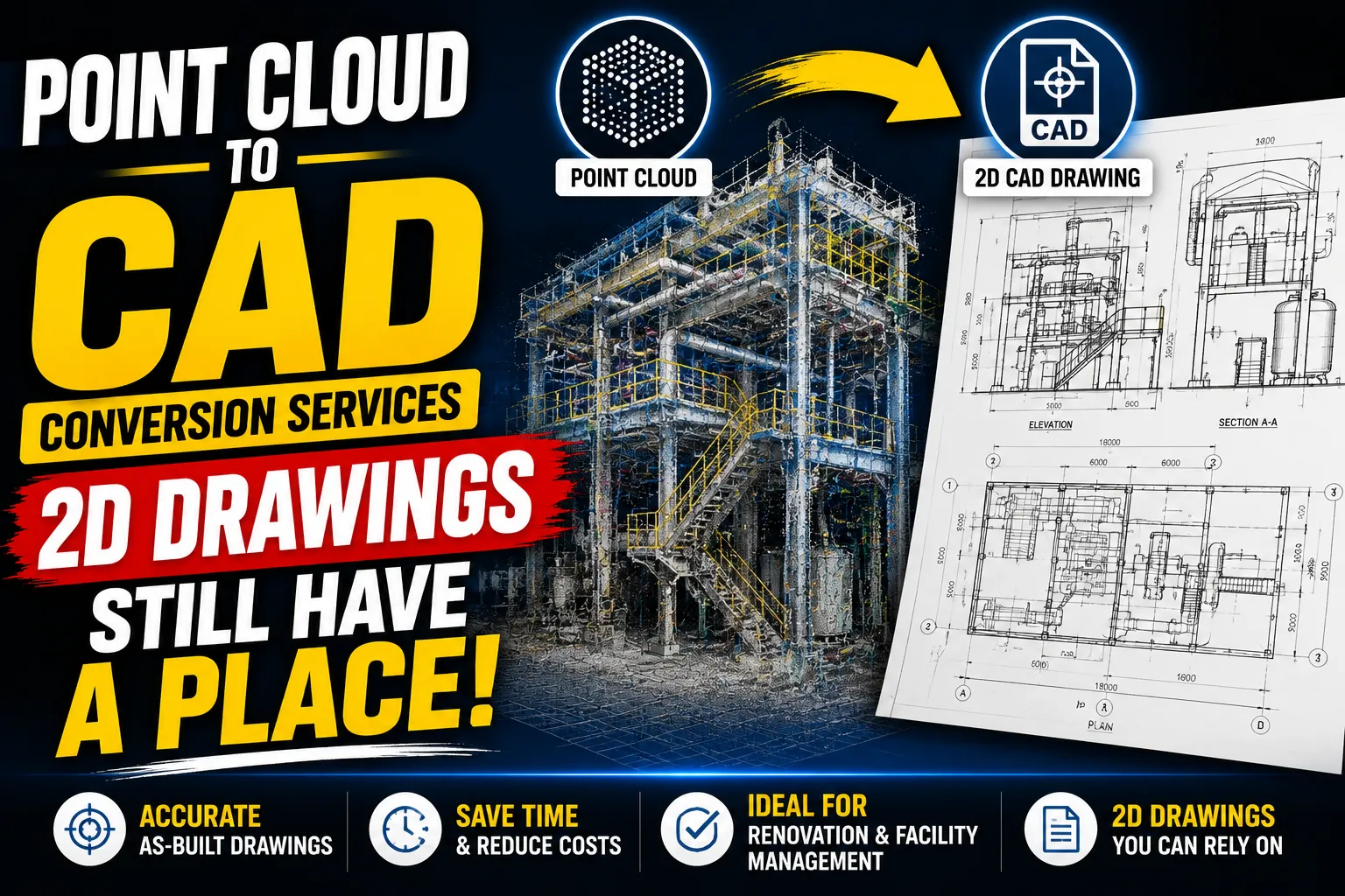

3D scanning technology has changed how professionals capture and work with real-world data. Point clouds—dense collections of spatial data points generated by LiDAR scanners, photogrammetry, and similar tools—now make it possible to digitize entire buildings, infrastructure systems, and complex environments with remarkable precision.
As a result, 3D CAD models have become a staple in architecture, engineering, and construction workflows. But as 3D technology grows more capable, a familiar question resurfaces: are 2D CAD drawings becoming obsolete?
The short answer is no. Despite the rise of sophisticated 3D modeling, 2D drawings remain a critical deliverable across many industries. The real opportunity lies in understanding how to use both formats together—and knowing when each one serves you best.
What Are Point Clouds and How Are They Generated?
A point cloud is a dataset made up of millions of individual points, each recorded with precise X, Y, and Z coordinates. When combined, these points form a highly accurate digital representation of a physical space or object.
Point clouds are typically generated through:
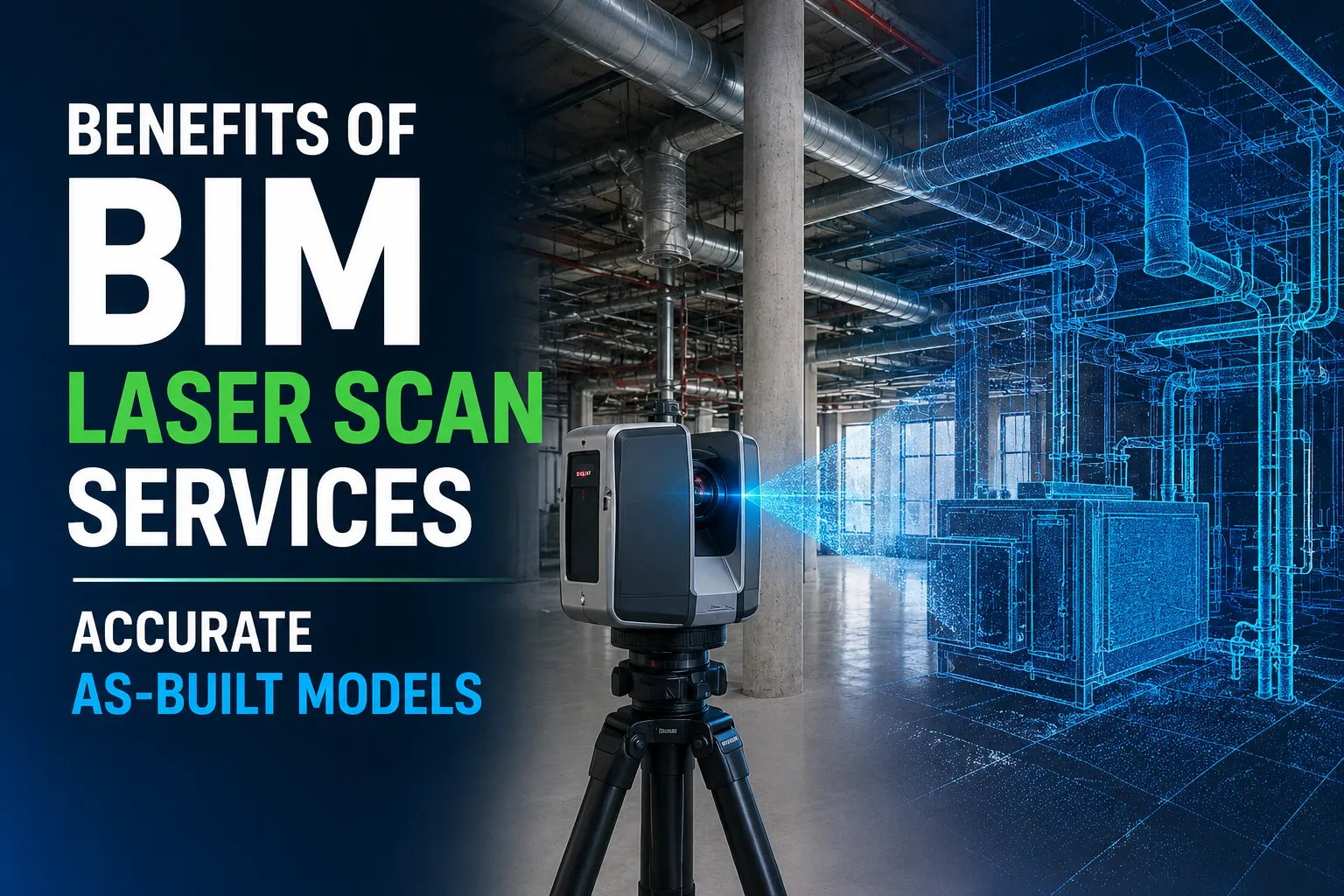
- LiDAR scanning — Light Detection and Ranging technology emits laser pulses and measures the time it takes for them to return, creating dense, precise datasets.
- Photogrammetry — Multiple overlapping photographs are processed using software to extract 3D spatial data.
- Structured light scanning — Commonly used for smaller objects and industrial components that require fine detail.
Industries including construction, architecture, engineering, and manufacturing rely on point clouds to capture as-built conditions, plan renovations, document heritage sites, and inspect infrastructure. The technology excels at recording complex geometries that would be difficult or time-consuming to measure manually.
How 3D CAD Has Transformed Design Workflows
The transition from drafting boards to 3D CAD software has been one of the most significant shifts in design history. Platforms like Autodesk Revit, AutoCAD, and SolidWorks allow professionals to build detailed models that can be analyzed for structural performance, visualized for client presentations, and coordinated across disciplines.
For point cloud data specifically, 3D modeling unlocks several advantages:
- Clash detection — Identifying conflicts between systems (e.g., MEP and structural) before construction begins.
- BIM integration — Point cloud data feeds directly into Building Information Models for ongoing facility management.
- Immersive visualization — Stakeholders can explore a 3D environment before a single brick is laid.
These capabilities have led some to argue that 2D drawings are a relic—a format suited to a slower, paper-based era. That argument, while understandable, overlooks some important realities.
Why 2D Drawings Remain Indispensable
Regulatory and Compliance Requirements
Many regulatory bodies still require 2D drawings as part of planning applications, building permits, and construction documentation. Local authorities, contractors, and inspectors often work from 2D floor plans, sections, and elevations—not 3D models. Until those standards shift uniformly, 2D drawings aren't optional; they're mandatory.
Clarity for Construction and Manufacturing
A 3D model is powerful for design and coordination, but on a construction site or factory floor, workers need clear, annotated instructions. 2D drawings—with dimensions, tolerances, material callouts, and detail views—communicate specifications in a direct, unambiguous format. A machinist running a CNC program needs a technical drawing. A site manager checking setout points needs a dimensioned plan. 3D models alone rarely provide that level of actionable clarity.
Cost and Accessibility
Not every project has the budget for full 3D modeling and BIM coordination. For smaller renovation projects, fit-outs, or heritage documentation work, 2D CAD deliverables offer a cost-effective alternative. They're also more universally accessible—virtually every contractor, consultant, and client can open and read a PDF or DWG file without specialist software.
Stakeholder Communication
Not all stakeholders are fluent in 3D visualization. Property owners, local councils, and non-technical clients often find 2D drawings easier to review and approve. Presenting a clean floor plan or elevation can be more persuasive than a complex 3D model when the audience isn't familiar with navigating one.
The Hybrid Approach: Combining Point Clouds with 2D CAD
The most effective project workflows don't choose between 2D and 3D—they use both. This is exactly where point cloud to CAD conversion services add significant value.
Converting point cloud data into 2D CAD drawings involves processing the raw scan data, cleaning it, and extracting accurate linework to produce floor plans, sections, elevations, and reflected ceiling plans.
Providers like Archdraw Outsourcing specialize in this process, delivering precise 2D drawings from complex scan datasets that would take in-house teams considerably longer to produce manually.
A typical hybrid workflow looks like this:
- Capture — LiDAR or photogrammetry scans are conducted on site.
- Register and process — Point cloud data is cleaned and registered into a unified dataset.
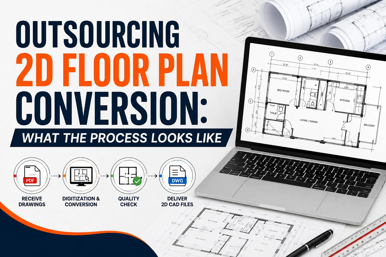
- Convert — Point cloud to CAD conversion services extract 2D drawings or 3D models depending on project needs.
- Deliver — Final deliverables include both 2D CAD drawings for documentation and compliance, and 3D models for coordination and visualization.
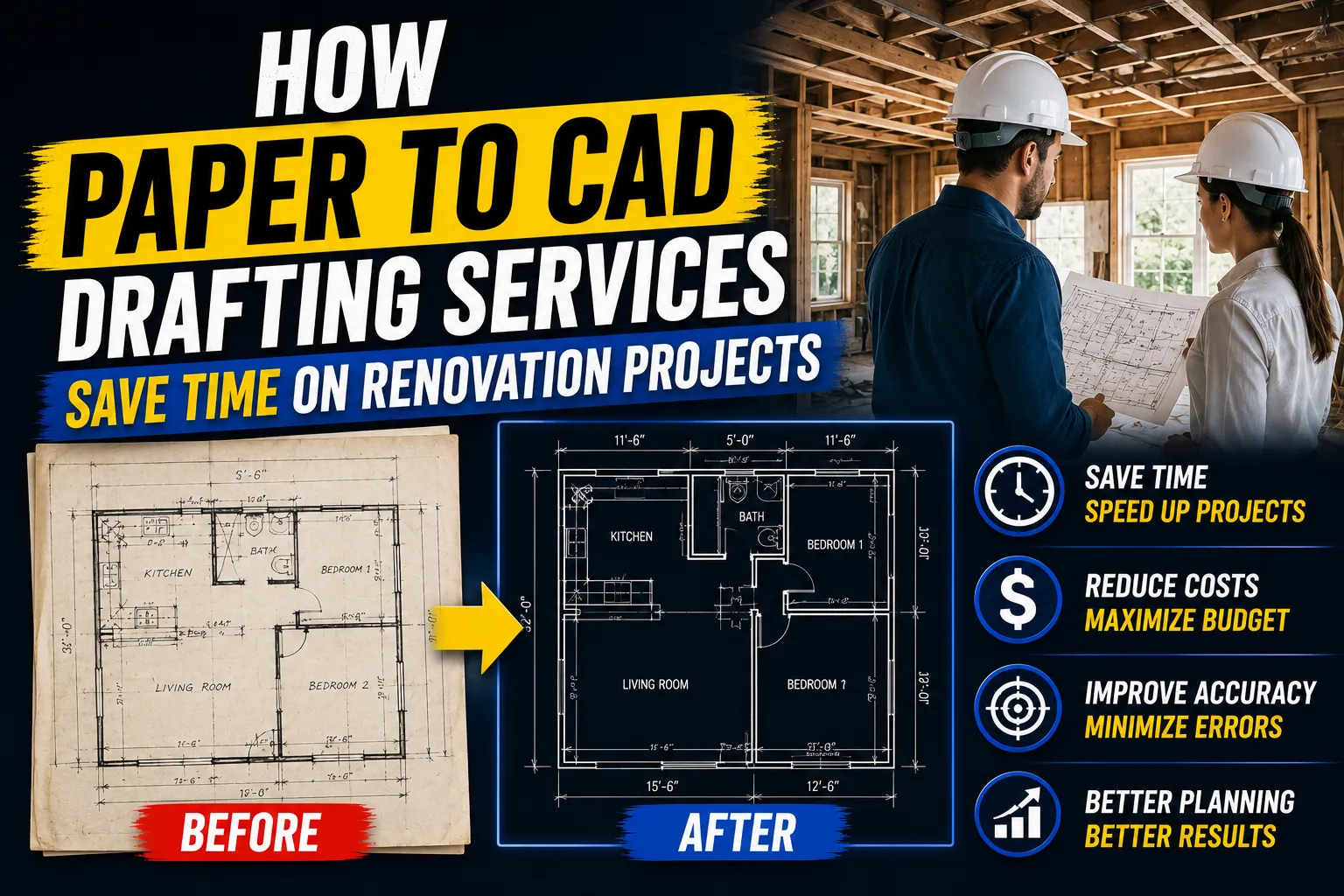
This approach works especially well for retrofit and renovation projects, heritage conservation, infrastructure upgrades, and commercial fit-outs—any scenario where existing conditions need to be documented accurately before design work begins.
How to Choose the Right Point Cloud to CAD Conversion Provider
Not all conversion services are equal. When evaluating providers, consider the following:
Accuracy and quality standards — What level of accuracy do they guarantee? For most architectural applications, tolerances within ±5mm are standard. Engineering and manufacturing applications may require tighter tolerances.
Software compatibility — Confirm that deliverables will be provided in the file formats your team uses (DWG, DXF, RVT, etc.).
Turnaround time — Project timelines vary. Clarify expected delivery schedules upfront, particularly for large or complex datasets.
Experience in your sector — A provider experienced in heritage architecture will approach a conversion differently than one specializing in industrial facilities. Look for relevant portfolio examples.
Communication and revision processes — Clear communication at the brief stage reduces costly revisions later. Providers like Archdraw Outsourcing typically offer structured briefing processes to ensure deliverables meet project-specific requirements.
Cost transparency — Request itemized quotes where possible. Costs vary based on scan complexity, drawing scope, and level of detail required.
2D and 3D: Better Together
The debate over whether 2D drawings are becoming obsolete misses the point. The formats serve different functions, and the most capable professionals use them in combination. Point clouds provide the raw spatial data; 2D CAD drawings translate that data into actionable, compliant, and communicable documentation.
As scanning technology becomes more accessible and point cloud to CAD conversion services become more refined, the gap between field capture and finished documentation continues to narrow. Organizations that adopt a flexible, integrated approach—rather than committing rigidly to one format—will be better positioned to deliver accurate, efficient, and compliant project outcomes.
If you're working with scan data and need reliable 2D CAD deliverables, reach out to a specialist conversion provider to discuss your project requirements and find the right workflow for your needs.
Frequently Asked Questions
What is point cloud to CAD conversion?
Point cloud to CAD conversion is the process of transforming raw 3D scan data—captured by LiDAR or photogrammetry—into usable CAD drawings or models. Outputs typically include 2D floor plans, sections, elevations, and 3D models, depending on project requirements.
Are 2D CAD drawings still required in 2024?
Yes. Many regulatory bodies, local authorities, and construction professionals still require 2D CAD drawings for permits, compliance documentation, and on-site use. 2D drawings remain a standard deliverable across architecture, engineering, and construction.
How accurate are point cloud to CAD conversions?
Accuracy depends on the quality of the original scan data and the expertise of the conversion provider. For most architectural applications, tolerances of ±5mm are achievable. Engineering applications may require higher precision.
How long does point cloud to CAD conversion take?
Turnaround times vary based on the size and complexity of the dataset. Simple floor plans may be delivered within a few days, while large or multi-level projects can take one to three weeks. Confirm timelines with your provider at the briefing stage.
When should I use 3D modeling instead of 2D CAD drawings?
Use 3D modeling when your project requires clash detection, BIM coordination, immersive visualization, or complex geometric analysis. Use 2D CAD drawings when you need regulatory compliance documentation, construction specifications, or deliverables for non-technical stakeholders.























Sign in to leave a comment.