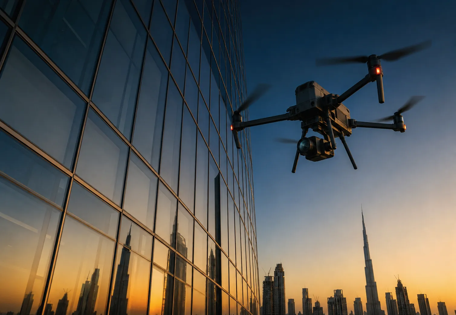

Anyone considering aerial mapping and surveying for the first time tends to have the same handful of questions. How accurate is it really? What is a ground control point and why does it matter? Can it actually replace a traditional survey? Rather than burying these answers inside a general overview, it makes more sense to address them directly, since these are exactly the questions that come up in almost every conversation with a new client.
What Is Aerial Mapping And Surveying Exactly
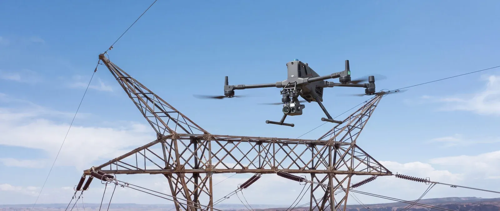
Aerial mapping and surveying uses a drone equipped with a high resolution camera to capture overlapping images across a site, which are then processed using photogrammetry software into an accurate map, terrain model, or volumetric dataset. Unlike a simple aerial photo, the output is geometrically corrected and measurable, meaning distances, areas, and elevations taken from the map reflect real world dimensions. Professional aerial mapping and surveying services combine this photogrammetric processing with proper ground referencing to produce data suitable for engineering and construction use.
How Accurate Is A Drone Survey
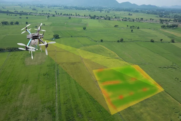
Accuracy depends heavily on the sensor used and the methodology behind the survey. Ground sample distance, which describes how much real world area each pixel in the image covers, determines the level of detail captured. A survey flown at a lower altitude with a high resolution sensor produces finer ground sample distance and sharper detail than one flown higher with a lower resolution camera. On top of sensor quality, ground control points play the biggest role in determining whether the final result reflects true real world accuracy or just internal consistency within the model itself.
What Are Ground Control Points And Why Do They Matter
Ground control points are precisely surveyed reference markers placed across a site before a mapping flight. During processing, the photogrammetry software uses these known coordinates to anchor the resulting model to real world positioning, correcting for any drift or distortion that would otherwise creep into a purely photo based reconstruction. 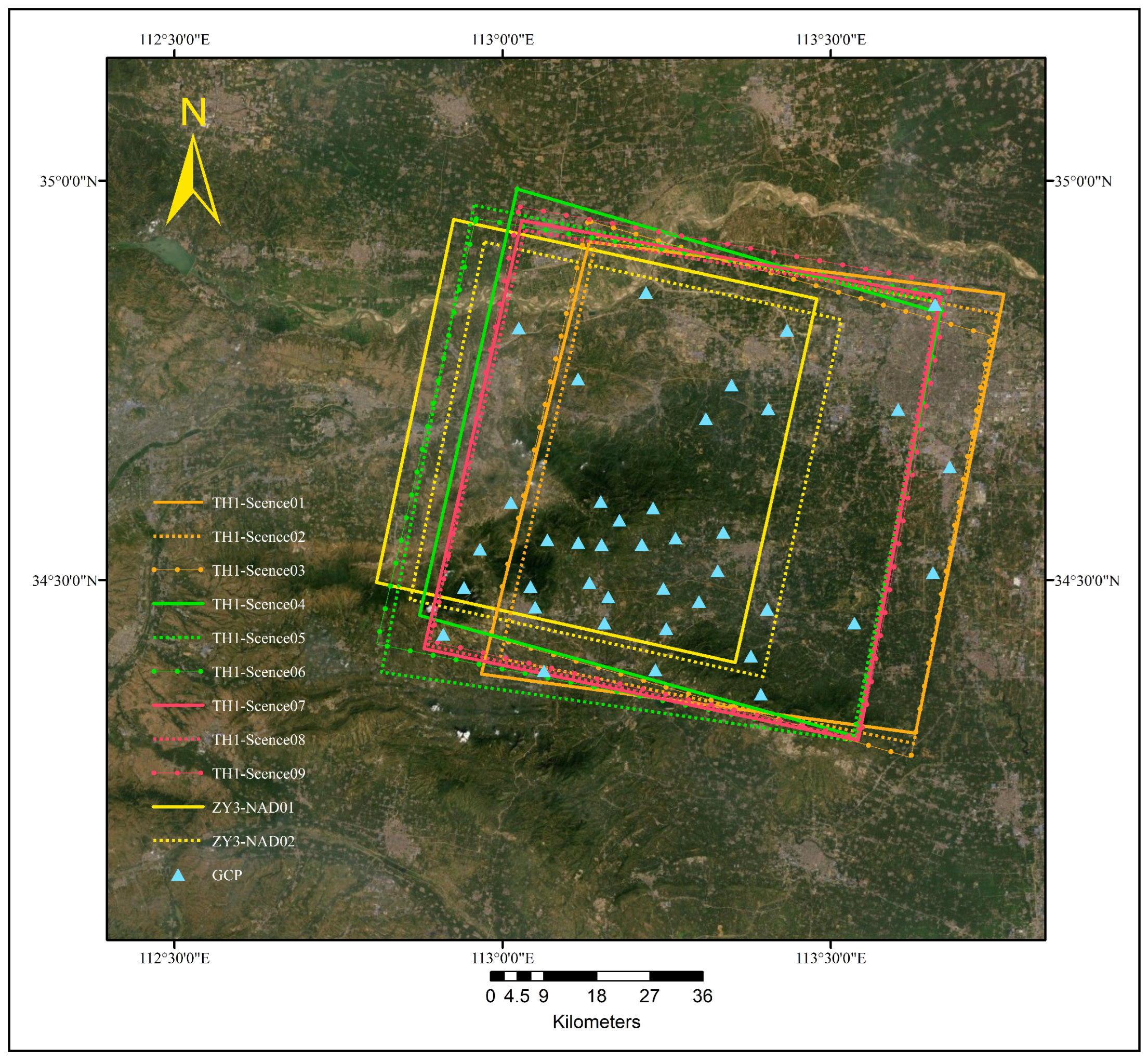
Without ground control points, a drone survey produces what is called relative accuracy, meaning the map is internally consistent and useful for visual reference but not necessarily tied correctly to actual coordinates. With ground control points properly placed and surveyed, the result becomes absolute accuracy, suitable for construction staking, engineering design, and legal or regulatory submissions.
Can Drone Surveying Fully Replace Traditional Land Survey
For most site mapping, terrain modeling, and volumetric calculation work, yes, drone surveying can match or exceed what traditional ground survey delivers, largely because it captures the entire surface rather than isolated points. That said, certain applications, particularly boundary surveys with legal implications or highly specific point measurements, may still call for traditional total station methods, sometimes used alongside a drone survey rather than in place of one. A capable provider will tell you honestly which approach fits your specific project rather than pushing one method regardless of the use case.
How Is Aerial Mapping Used For Construction Progress Monitoring
Construction teams use repeated aerial mapping flights, often on a weekly or monthly schedule, to track earthwork progress, verify grading against design plans, and calculate stockpile or cut and fill volumes without needing a ground crew to physically walk the site each time. Because each flight captures the entire site consistently, comparing data over time gives an accurate picture of progress that is far more reliable than periodic visual inspection alone. This same site level documentation carries through to the end of a project too, since the terrain and site records built up during construction often feed directly into final property snagging and handover checks once the build is complete.
Does Weather Affect Aerial Mapping Accuracy
Wind, dust, and lighting conditions can all affect flight quality and image consistency, which is why experienced operators plan flights around stable weather windows and consistent lighting, typically avoiding shooting during harsh midday glare or high wind conditions that can affect drone stability. In the UAE's climate, early morning flights often produce the most consistent results, avoiding both wind buildup and the heat haze that can occur later in the day.
What Should I Look For In An Aerial Mapping Provider
Ask specifically about ground sample distance, ground control point methodology, and sensor specifications before hiring anyone for aerial mapping work. A provider who can clearly explain these details and walk you through their accuracy validation process is generally far more reliable than one who only talks about flight time or drone models. It is also worth confirming what software is used for processing and what file formats the final deliverables will come in, since compatibility with your existing design or GIS software matters for how usable the data actually is once delivered.
Is Aerial Mapping Useful Beyond Construction
Absolutely. Land valuation, environmental monitoring, urban planning, and infrastructure corridor mapping all rely on the same underlying technology. Any application that benefits from accurate, up to date terrain and site data is a reasonable candidate for aerial mapping, particularly where the site is large, difficult to access, or needs to be surveyed repeatedly over time.
Where To Go From Here
If you still have questions specific to your project, the best next step is usually a direct conversation with a provider who can assess your site's size, terrain, and intended use for the data before recommending an approach. For anyone across Dubai and the wider UAE looking to get started, a proven drone survey and inspection company can walk through ground control point placement, sensor selection, and expected turnaround before committing to a project.
























Sign in to leave a comment.