Land surveying is a crucial step in any construction or development project, and it comes in various forms to cater to different needs. Depending on the project's scale, purpose, and industry, you might require specific types of land survey services.
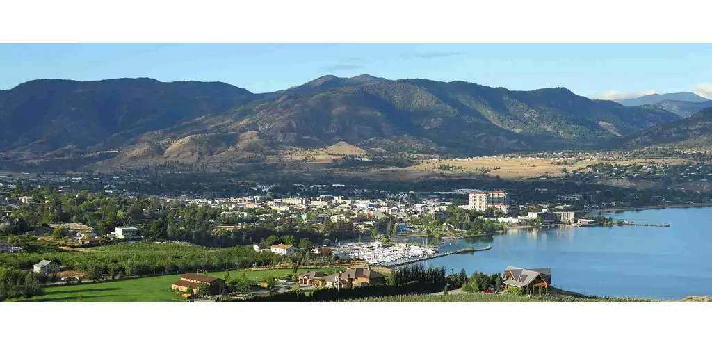
In Penticton, a picturesque city nestled in the Okanagan Valley, finding the right land survey services is essential for successful project planning and execution. One company that can assist you in this endeavor is Core Geomatics.
Understanding Land Surveying Basics
Before diving into the types of land survey services, it's essential to understand how surveying is performed. Traditionally, land surveyors used ground-based methods, manually mapping out an area's topography. This approach is still relevant for smaller, urban projects where precision is paramount, such as defining property boundaries.
However, for larger areas, manned aerial missions via planes and helicopters became the norm. While effective, these methods had drawbacks, such as cost and safety concerns. Over time, unmanned aerial vehicles (UAVs), commonly known as drones, have revolutionized the industry.
Drones offer a safer, cost-effective way to scan terrain efficiently. Surveying services further differentiate themselves through the technologies they use, primarily photogrammetric and LiDAR imaging, both serving distinct purposes.
Types of Land Surveying Services
Boundary Surveys: These surveys define property lines and boundaries, essential for property owners, real estate developers, and municipalities.
Construction Staking: During construction, precise measurements and markings ensure structures align with the architectural plans. Construction staking surveys are critical for accuracy and safety.
Easement Surveys: Easement surveys determine rights of way or usage rights across properties. They are crucial for utilities, government agencies, and property developers.
Land Partitions: Land partition surveys divide large parcels into smaller plots. These are essential for property development and division among multiple owners.
Well Staking: If you're in the agricultural or water resource industry, well staking surveys help identify the best locations for wells while adhering to regulations.
Topographic Mapping: Topographic surveys create detailed maps of the natural and man-made features of an area. These are invaluable for engineers, architects, and urban planners.
Environmental Surveys: These surveys assess environmental conditions and potential impact on a project. They are vital for industries like pipeline construction and conservation efforts.
When Do You Need a Survey?
The timing of land surveys depends on your project's phase:
Pre-Design Surveys: These simulate how a project interacts with the environment, aiding in project visualization, cost estimation, and environmental impact assessment.
Construction Surveys: Performed during construction to ensure everything aligns with plans, improving safety and accuracy.
Post-Construction Surveys: These identify problems and are used for maintenance and repair purposes.
The Industries of Land Surveying
Land surveying finds applications across numerous industries:
Pipeline Companies: Surveying helps plan optimal pipeline routes and assess environmental concerns.
Solar Companies: Solar panel placement, efficiency, and maintenance rely on accurate surveys.
Construction Companies: Surveying simulates projects, captures data for modifications, and aids in expansion planning.
Core Geomatics: Your Land Surveying Partner in Penticton
When navigating the diverse world of land survey services in Penticton, Core Geomatics stands out as a reliable partner. Their team of experienced surveyors can assess your project's unique needs, ensuring you receive the most appropriate surveying services.
Understanding the types of land survey services and when to utilize them is crucial for any successful project. By partnering with Core Geomatics in Penticton, you can ensure that your land survey needs are met with precision and expertise, setting the stage for a successful project outcome. Contact Core Geomatics today to start your consultation and take the first step towards a well-surveyed future.
For More Information about Calgary Real Estate Market Reports and Land Surveyor Calgary Please Visit: CORE Geomatics.


